3D Interpretation for Survey Engine
Coda Octopus has announced the release of its Geophysical Survey Post-processing software Survey Engine Version 5.2. This latest release adds significant new features to their Seismic+ software, including the ability to view Seismic data interpretation in a 3D fence diagram, the ability to export processed data in XTF format from any of the Survey Engine modules (Mosaic+, Sidescan+, Seismic+ and Pipeline+) and general fixes.
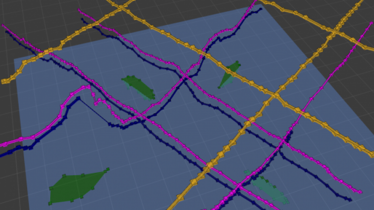
3D Visualisation of seismic data interpretation is a key new feature drawing on years of 3D visualisation experience to offer enhanced functionality for geophysical processing. The feature is a two-way fully referential exchange between the 3D and 2D windows and enables tags which are picked to be shown in the 2D, 3D and GIS views for seamless analysis. Seismic data interpretation is completed in the 2D window, and can then be viewed in a 3D fence window.
The ability to interpret data in the 2D window, and then instantly visualise these in the 3D window, grants full context 3D horizon production, and thereby allows quick and accurate assessment of any mis-ties at crossing points. This reduces processing and QC times, resulting in more accurate interpretation and reporting and is a significant step forward in seismic data interpretation.
XTF Data Format Export
Survey Engine supports export from all modules in the widely used XTF data format as well as the existing native Coda and SEGY formats. This additional feature further enhances and increases the usability of the Survey Engine platform ensuring the software can export in the most commonly used data formats.
Survey Engine is Coda Octopus’ combined suite of modules (Mosaic+, Sidescan+,Seismic+ and Pipeline+) which offers a modern interface with fast and accurate data interpretation and reporting for geophysical survey data. This software package is designed to efficiently process high volume sidescan and seismic data sets.

Value staying current with hydrography?
Stay on the map with our expertly curated newsletters.
We provide educational insights, industry updates, and inspiring stories from the world of hydrography to help you learn, grow, and navigate your field with confidence. Don't miss out - subscribe today and ensure you're always informed, educated, and inspired by the latest in hydrographic technology and research.
Choose your newsletter(s)


