Lidar in Shallow Survey Data Comparison
In September 2011, New Zealand's LINZ hydrography team released a Request for Proposals (RFP) to collect Lidar (Light Detection and Ranging) bathymetry data for the Wellington Harbour and Abel Tasman areas.
The idea for LINZ contracting the collection of some bathymetric Lidar data came about for a number of reasons: to measure the performance of the latest Airborne Laser Bathymetry (ALB) systems; to collect data in Wellington Harbour as part of the Common Dataset for the Shallow Survey conference (SS2012) http://www.shallowsurvey2012.org/ in February 2012 and to see if gravity measurements could be combined with Lidar on one platform to save costs.
The LINZ geodetic team wanted to fly some gravity over Christchurch as a pilot scheme to improve the accuracy of the national geoid model and so it worked together to develop the RFP for the ‘Multi-Sensor Airborne Platform Project' (M-SAP).
When preparing the RFP, it became clear that the two systems have different requirements for data collection and when the evaluation started, it was obviously not that simple to provide 2 systems on 1 platform - 2 into 1 does not go.... easily!
It is possible, as one of the providers found out, but a bit cramped onboard the plane. None the less, they were grateful for the challenge! However, with the additional cost, time and differing acquisition requirements, it was not to be, so it was back to plan A: flying Lidar only.
Fugro LADS (http://www.fugrolads.com/) were awarded the Lidar work and are due to start in mid December 2011, based in Nelson. The LINZ hydrography team have a meeting with them this week to kick off the project.
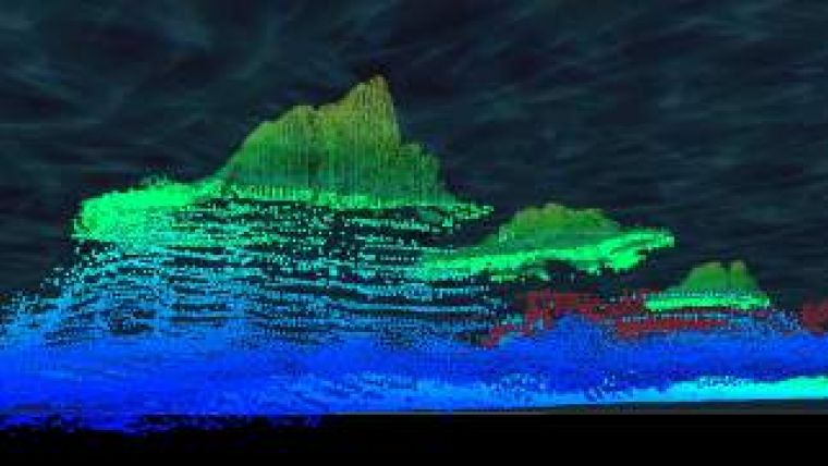
The survey of Wellington Harbour will form part of the Common Dataset for the SS2012 conference, whilst the survey of the Abel Tasman coast should provide LINZ with a good dataset in the near shore environment. Both surveys will allow to assess the system and do a comparison for target detection of known underwater hazards to determine position, least depth and extent, which have been previously surveyed to hydro charting standards with traditional sonar, single beam/side scan sonar and multibeam systems from waterborne craft.
The Lidar data will be available to delegates of the Shallow Survey conference and anybody else, they just need to pay for the 1Tb hard drive. Ideally this would be served up through the LINZ Data Service but due to the large file sizes, this isn't an option at present. Professionals who want to see the comparisons between waterborne and airborne bathymetry are invited to come along to the Shallow Survey conference in February 2012.

Value staying current with hydrography?
Stay on the map with our expertly curated newsletters.
We provide educational insights, industry updates, and inspiring stories from the world of hydrography to help you learn, grow, and navigate your field with confidence. Don't miss out - subscribe today and ensure you're always informed, educated, and inspired by the latest in hydrographic technology and research.
Choose your newsletter(s)


