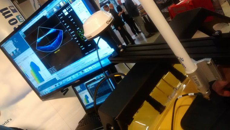
Official Release of CARIS Onboard 1.0
CARIS is releasing its near-real-time data processing and mapping application, CARIS Onboard. The development of this new technology will revolutionise the way in which bathymetry and imagery data is processed. CARIS Onboard automatically converts data as it becomes available and applies a range of pre-determined corrections, the data can then be used to generate a terrain model or mosaic. This allows for early visualisation of sea-floor characteristics, putting a greater emphasis on quality control and supporting an environment of improved decision making and greater efficiency.
CARIS Onboard has been designed to work with survey launches and Marine Autonomous Systems like autonomous underwater vehicles or unmanned surface vehicles. CARIS Onboard allows multiple datasets to be processed quickly and consistently. With the expanding volume of data being collected at higher resolutions, CARIS Onboard fits seamlessly into the Ping-to-Chart suite of software and reduces your product creation timeline.
The creation of CARIS Onboard is the next step in the ever evolving hydrographic data processing landscape and is based on decades of trusted expertise. CARIS Onboard is supported by the highly scalable CSAR framework and designed to function in both high and low bandwidth environments including remote operations. This software will provide an operational advantage by enabling your skilled workforce to concentrate on getting the best results possible.

Value staying current with hydrography?
Stay on the map with our expertly curated newsletters.
We provide educational insights, industry updates, and inspiring stories from the world of hydrography to help you learn, grow, and navigate your field with confidence. Don't miss out - subscribe today and ensure you're always informed, educated, and inspired by the latest in hydrographic technology and research.
Choose your newsletter(s)


