SK4 & NorNed Cable Protection Survey Contract for MMT
MMT, Sweden, has been awarded the SK4 & NorNed protection survey contract by Statnett, Norway. The aim of the offshore survey is to provide Statnett with a Terrain Model (DTM) of the cable and associated trench and berms (where present), as well as a DTM of all engineered crossings including all installed protection. The survey will also provide the location and depth of burial of the cable. In addition, MMT has been contracted for a geophysical and geotechnical survey of a cable corridor in Gandsfjorden, Norway.
The contract is divided into two separate projects and include detailed high-resolution offshore ROV surveys and cable tracking. The SK4 cable protection survey is performed for both Statnett and Energinet.DK.
MMT has previously performed detailed pre-lay survey for the SK4 cable and have a comprehensive knowledge of the conditions in order to achieve an efficient and safe survey for Statnett.
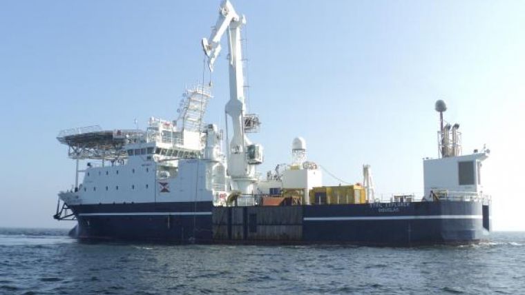
The cable tracking operations will be conducted from the DP2 vessel Stril Explorer (image) using the WROV Supporter mounted with a TSS. The survey will begin with the SK4 cable tracking operation from approximately 10m water depth offshore Denmark to the Norwegian landfall at Kvivika. The ROV will be fitted with a multibeam echosounder, sidescan sonar and a TSS cable tracker and a high-definition video system.
Following the SK4 operation the NorNed cable will be surveyed on Statnett´s ownership of the NorNed cable. The survey will provide location and depth of burial of the cable, identify and analyses any exposed, freespanning and shallow burial sections of cable, identify possible damage, locate debris and produce a bathymetric and cable burial difference model from existing survey data.
An additional separate survey for a possible future cable corridor will also be performed by MMT.
This survey will take place in Gandsfjorden (Stavanger, Norway) and the purpose is to find suitable routes for up to 10 single-core cables. This survey also includes geological sampling and they will be collected by a 3-metre-long gravity corer. This project will also be conducted in close cooperation with Reach Subsea for their ROV expertise.

Value staying current with hydrography?
Stay on the map with our expertly curated newsletters.
We provide educational insights, industry updates, and inspiring stories from the world of hydrography to help you learn, grow, and navigate your field with confidence. Don't miss out - subscribe today and ensure you're always informed, educated, and inspired by the latest in hydrographic technology and research.
Choose your newsletter(s)


