USA and Cuba Agree to Improve Maritime Navigation Safety
Ambassador Jeffrey DeLaurentis, the Chief of Mission at the U.S. Embassy in Havana, and Col. Candido Alfredo Regalado Gomez, Chief of Cuba’s National Office of Hydrography and Geodesy (ONHG), have signed a Memorandum of Understanding (MOU) to improve maritime navigation safety and related areas of mutual interest to protect lives and property at sea.
The MOU calls for cooperation in the areas of hydrography, oceanography, geodesy and related services of mutual interest. One of the major focuses will be to improve maritime navigation safety including efforts to ensure the accuracy of both electronic and paper charts, eliminate charting overlaps and fill in gaps in navigational chart coverage.
“This MOU will allow us to fill gaps in essential navigational data, working on a practical level with our Cuban counterparts,” said Kathryn Ries, deputy director of NOAA’s Office of Coast Survey. “The U.S. works with hydrographic offices of all nations that have waters adjacent to the United States and our territories, and this agreement improves the exchange of charting information with Cuba as well.”
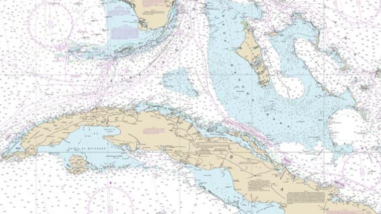
In addition to updating data on domestic charts, the U.S. and Cuba agreed to work together on a new international paper chart, INT Chart 4149, which will cover south Florida, the Bahamas, and north Cuba. The memorandum of understanding between the two countries was signed last Friday in Havana.
In February 2015, less than two months after President Obama announced the United States’ approach toward Cuba, NOAA and ONHG, through a set of reciprocal exchanges, launched what became a year-long effort to formulate the technical exchange that is a normal course of affairs between most of the other maritime nations of the world. Both agencies are working on plans for monitoring and forecasting tides and currents for ports and improving positioning networks among other related scientific and technical activities. The MOU is the first step in what is expected to be a long-term collaboration between the two countries.
In addition to aligning each country’s navigational charts, NOAA and ONHG are sharing data for the creation of a new international chart (known in mariner’s parlance as ‘INT chart’) 4149, which will cover south Florida, the Bahamas, and north Cuba. NOAA plans to publish the new chart this year.

Value staying current with hydrography?
Stay on the map with our expertly curated newsletters.
We provide educational insights, industry updates, and inspiring stories from the world of hydrography to help you learn, grow, and navigate your field with confidence. Don't miss out - subscribe today and ensure you're always informed, educated, and inspired by the latest in hydrographic technology and research.
Choose your newsletter(s)


