HYPACK, A Xylem Brand has been developing HYPACK®, HYSWEEP®, and DREDGEPACK® software solutions since 1984. With over 30 years’ experience, and over 10,000 users, HYPACK is a leading provider of hydrographic and dredging software worldwide, supporting over 400 different sensors and devices!
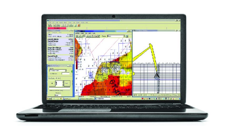
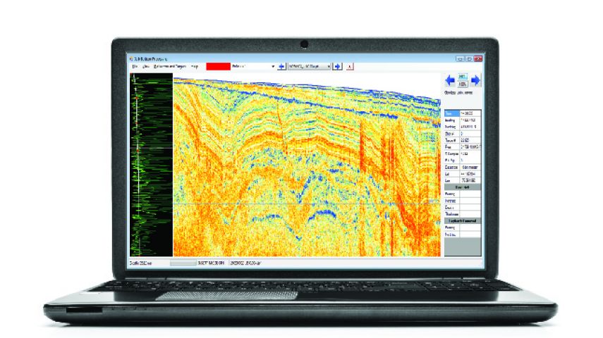
HYPACK® provides simple-to-use tools to design your survey, acquire and process your data, and create the required final products. HYPACK provides all you need for single beam, side scan, magnetometer, ADCP, water quality sensor, and sub-bottom surveys. Powerful 64-bit editing tools enable you to quickly review and clean your data in preparation for your final output. Modules to create electronic navigational charts, calculate volumes, and generate DXF contours and side scan mosaics are all part of the package.
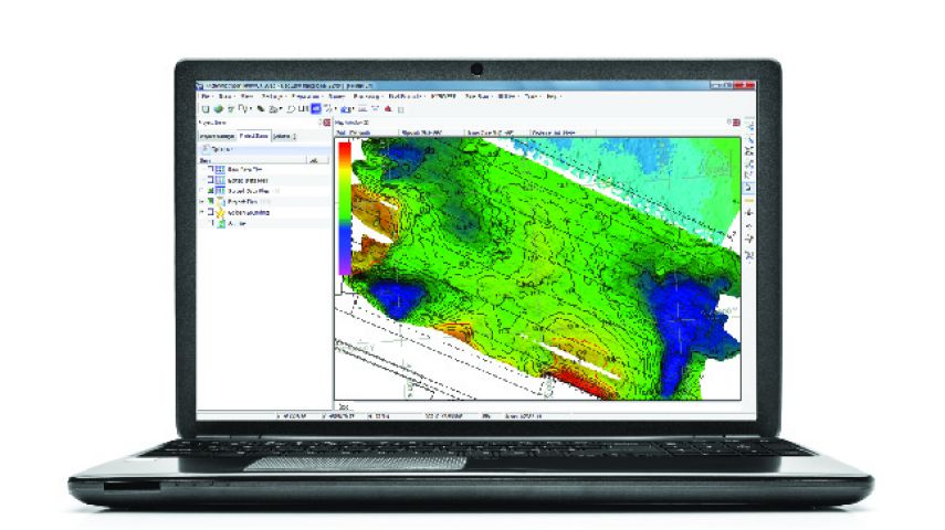
HYSWEEP® is the add-on module for calibration, data collection and processing for your multibeam sonar and LiDAR systems. Supporting nearly all multibeam sonars on the market, you can acquire backscatter, intensity and water column simultaneously with bathymetry. Online real-time CLOUD displays show the system in operation. In the 64-bit HYSWEEP® EDITOR, process large data sets efficiently, analyzing your data with CUBE, Wobble Analysis, and Beam Angle Test. Grid your data and calculate your output for your project requirements: average, mode, median, standard deviation and more. Export to ASCII XYZ, LAS, matrix files and other custom formats.
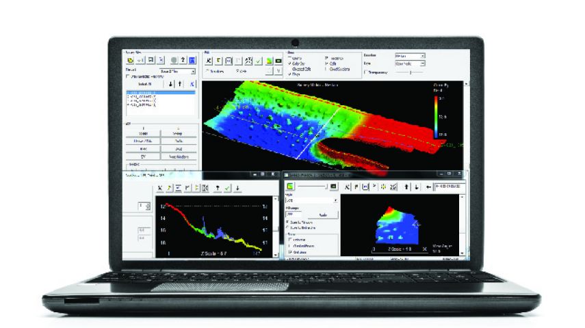
DREDGEPACK® enables you to monitor and track digging operations for all dredge types. DREDGEPACK® monitors the position and depth of the cutting tool in real time and re-maps the bottom based on the depth and location of the digging tool. The color-coded depth information is displayed in plan and profile views to show the “As Surveyed” and the “As Dredged” depths for millions of cells. This enables you to maximize digging efficiency and precision to reduce the risk of dredging errors and provide a record of digging operations.