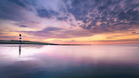
The evolution of Dutch hydrography
Given the Netherlands’ geographical location, it is unsurprising to find it has a long tradition of hydrography. The lowland, often below sea level, forms a delta where major...
Given the Netherlands’ geographical location, it is unsurprising to find it has a long tradition of hydrography. The lowland, often below sea level, forms a delta where major...
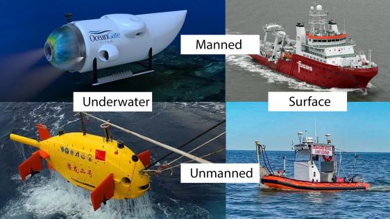
In an era of great power competition, unmanned maritime systems (UMSs) have begun to take centre stage and are now on an accelerated development path for reasons that are clear. Li...
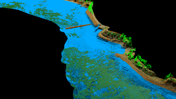
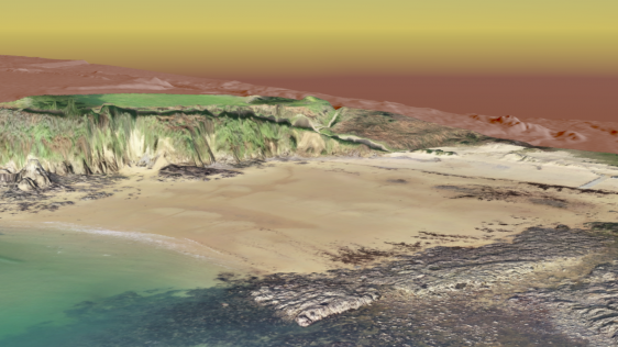
In the quest to unravel the mysteries beneath our planet’s water bodies, topobathymetric technologies emerge as a beacon of innovation. Among them, Lidar (light detection and...
IHO standard S-44 is often used (or misused) to specify the quality of a hydrographic survey. While it is a useful tool, it is easy to misinterpret. One ‘misuse’ is to...
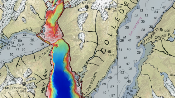
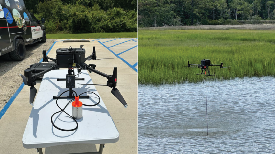
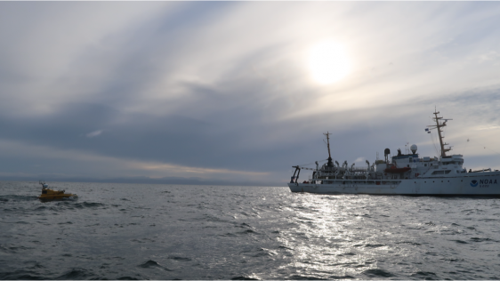
Alaska’s history of devastating landslides and tsunamis creates challenges in assessing communities’ risk without water depth data at the base of unstable slopes. To ad...
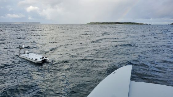
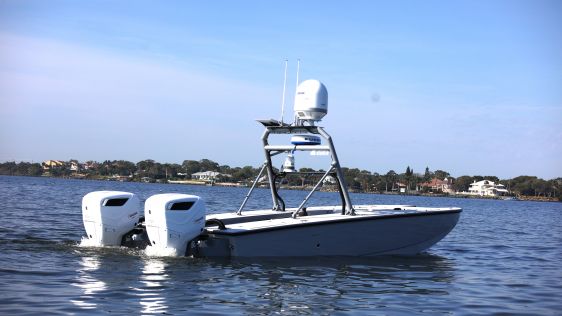
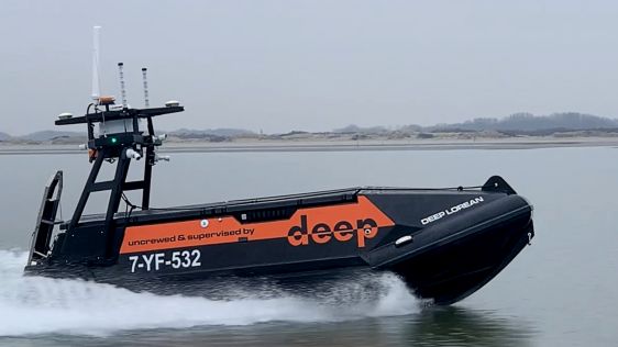
As the world’s reliance on offshore energy sources grows, the use of unmanned surface vehicles (USVs) emerges as a promising solution for safeguarding vulnerable offshore pla...
In many places around the world, data clearly shows a rise in sea level. In low-lying coastal areas, even small increases when coupled with high tides and storm surges can have dev...
Amid new climate policies, the global energy transition is in full swing. This is leading companies and organizations to take a variety of measures to make their business operation...
As part of a Catalan government project to improve the management of its marine environment, ICGC cooperated with Field to use airborne Lidar bathymetry (ALB) to survey the Catalan...
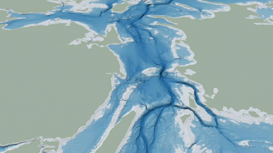
The Denmark Depth Model (DDM) is a digital bathymetric model covering Denmark’s exclusive economic zone (EEZ). It was developed based on hundreds of bathymetric survey datase...
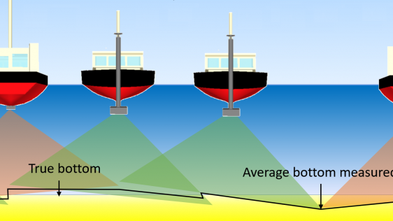
The life of a hydrographic planner used to be easy: you had a survey vessel from which (at least in nautical cartography) you deployed a number of survey boats (often sloops) with...
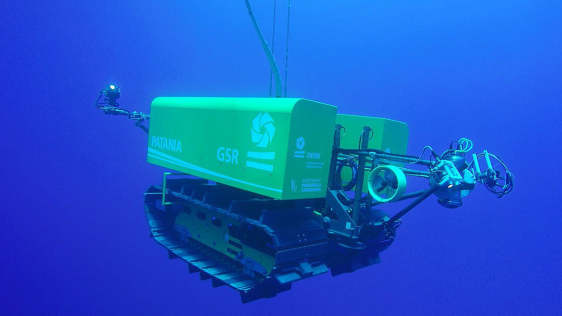
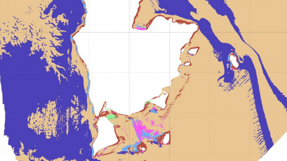
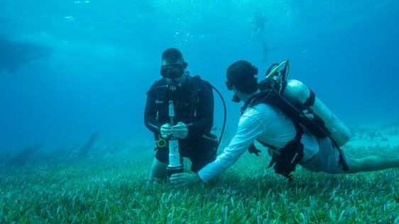
Much remains unknown about the benthic ecosystem that the blue economy depends on, and improved benthic habitat mapping is key to the sustainable development of the blue economy. W...
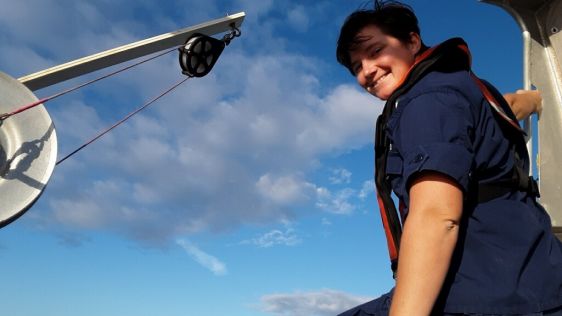
The role of women in hydrography is increasing worldwide. In 2022, NOAA participated in the international Empowering Women in Hydrography (EWH) programme initiated by Canada and th...
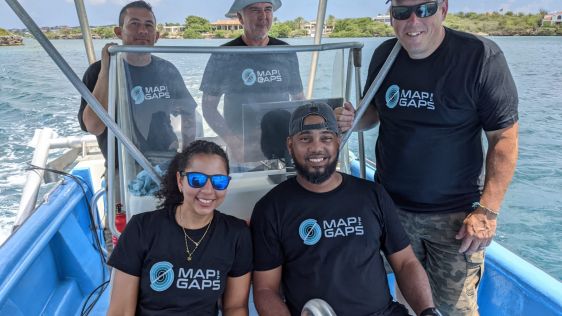
Map the Gaps is cultivating and empowering a growing network of professionals, organizations and communities working together to create new ways for interacting with, understanding...
The state of the art in autonomous surface vehicles has evolved tremendously, and these technologies will revolutionize the field of hydrography. However, our experience shows that...
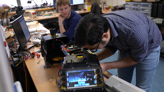
Taking into account the increasing demand for autonomy in hydrography, this article examines the development of an innovative, small-sized subsea sensor fusion solution. This groun...
Every year, Hydro International surveys the state of the hydrographic industry to gain a comprehensive understanding of the sector and the challenges it faces. The survey includes...
Electrification and the transition to a green economy are rapidly accelerating the demand for metals and rare earth minerals. As this demand cannot be met by recycling existing met...
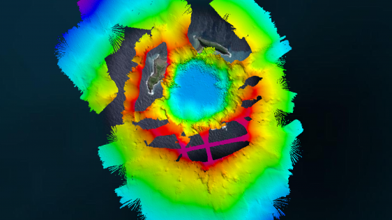
The Tonga Eruption Seabed Mapping Project (TESMaP) is a collaborative mission to discover the undersea impacts of the January 2022 eruption of the Hunga-Tonga Hunga-Ha’apai v...
Since the 1970s, remote sensing has increasingly been used to conduct underwater surveys. Several methodologies are employed in hydrographic surveying, from direct techniques such...
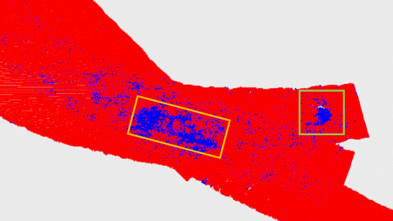
To understand coastal change and anticipate what our future coast will look like, scientists carry out regular field surveys in the form of beach profiles and digital elevation mod...
Manually examining the seafloor for objects such as wrecks requires a great deal of time and labour, both at sea and in the office. As time is a limited and costly factor, the indu...
Aside from being able to monitor water depths, the most recent multibeam echosounder sonar (MBES) systems can also simultaneously record the reflected intensities from different se...
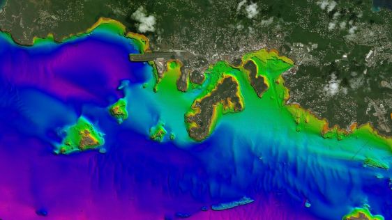
Hexagon is working with Beneath The Waves, a conservation NGO, to help protect marine environments in the Bahamas. Using bathymetric airborne Lidar solutions, researchers are able...

This site uses cookies. By continuing to use this website, you agree to our Cookies Policy. Agree