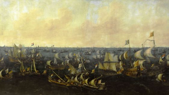
The evolution of Dutch hydrography
Given the Netherlands’ geographical location, it is unsurprising to find it has a long tradition of hydrography. The lowland, often below sea level, forms a delta where major...

Given the Netherlands’ geographical location, it is unsurprising to find it has a long tradition of hydrography. The lowland, often below sea level, forms a delta where major...
In an era of great power competition, unmanned maritime systems (UMSs) have begun to take centre stage and are now on an accelerated development path for reasons that are clear. Li...
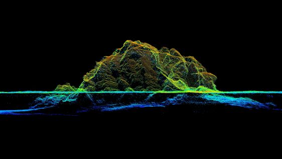
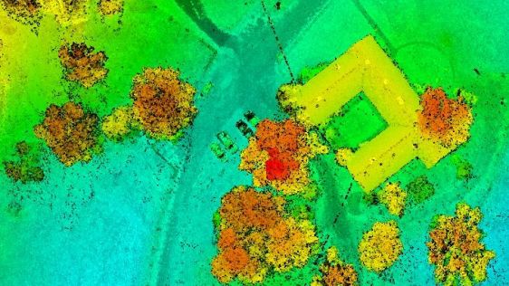
In the quest to unravel the mysteries beneath our planet’s water bodies, topobathymetric technologies emerge as a beacon of innovation. Among them, Lidar (light detection and...
IHO standard S-44 is often used (or misused) to specify the quality of a hydrographic survey. While it is a useful tool, it is easy to misinterpret. One ‘misuse’ is to...
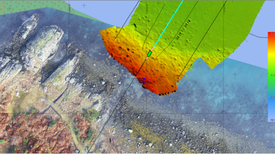
RIEGL tested the performance of its topobathymetric airborne laser scanning system in a transition zone context along the French Mediterranean coast. Initially planned as a UAV sur...
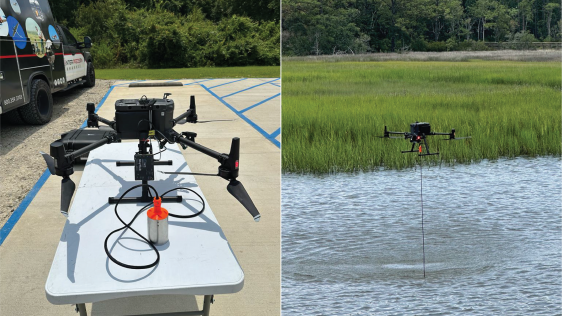
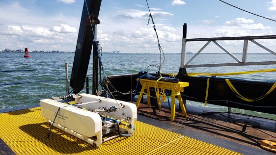
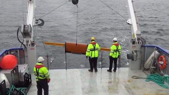
XOCEAN has completed 35 cable inspection surveys using a combination of uncrewed surface vessels (USVs) and uncrewed aerial vehicles (UAVs) between the Scottish mainland and Wester...
As the demand for elevation data continues to rise, it is important that users match the level of reliability, accuracy and resolution of the data to their specific application to...
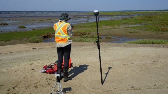
This article presents a participative geomatics project with the goal of increasing southern Québec’s coastal communities’ ability to map and monitor changes in...
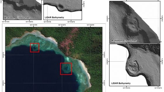
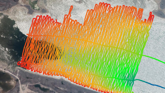
The accuracy of coastline data in Indonesia could be much improved by making use of Lidar bathymetry technology. In this article, the authors describe how Lidar bathymetry survey t...
Acteon, a leading provider of services to the offshore wind industry, is growing, along with the rapidly expanding offshore wind market. The company believes it is important to lis...
With the ever-increasing and affordable availability of capacity and computing power to process and store data, the emergence of artificial intelligence (AI) in marine geomatics, o...
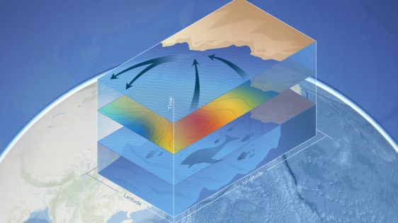
The United Nations Decade of Ocean Science for Sustainable Development (Ocean Decade) 2021-2030 seeks to generate and use knowledge for transformative actions needed to achiev...
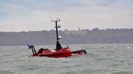
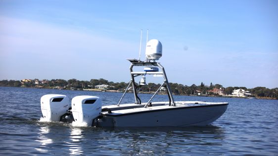
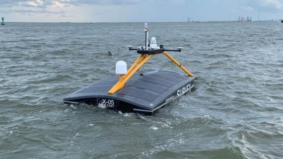
Over the next five years, we will witness a significant reduction in the maritime industry’s reliance on larger vessels, as the focus on compact and agile uncrewed surface ve...
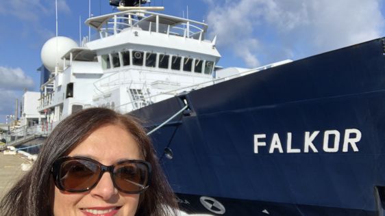
Jyotika Virmani was executive director of the Shell Ocean Discovery XPRIZE before she entered Schmidt Ocean Institute (SOI), also as executive director. Two positions at the forefr...

Hydro International spoke to five leading experts about the present and future of the hydrographic industry. In this interview, Eric Langlois (International Federation of Hydrograp...
Ready to invest, in equipment, staff and training, but unsure about future growth at this stage of the Covid-19 pandemic: that seems to be the outcome of our Hydro International Re...
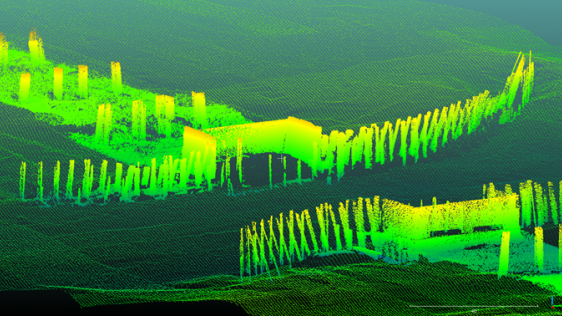
The 32km-long Afsluitdijk, completed in the Netherlands in 1932, transformed the Zuiderzee – once a shallow bay of the North Sea – into the freshwater IJsselmeer, named...
While nautical charting mainly focuses on bathymetry and objects that form a hazard to shipping, offshore construction and dredging require sub-bottom information. There is nothing...
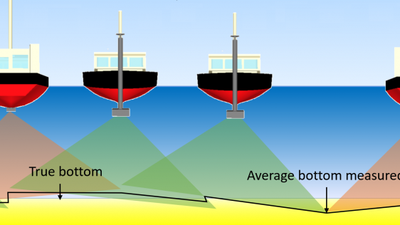
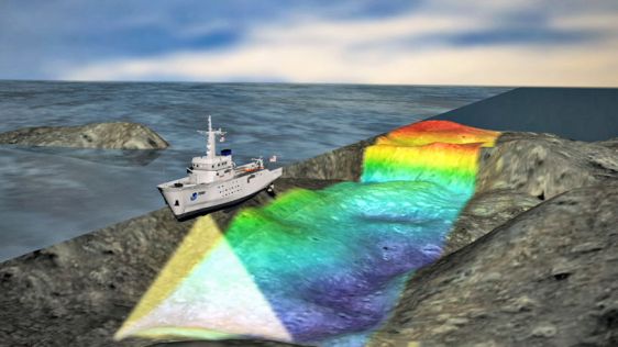
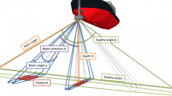
Hydrographic measurements are nowadays usually carried out using multibeam echosounders (MBES). The measurements obtained by each operational hydrographic vessel need to be regular...
Hydrographers and data processors are expected to produce high-quality deliverables with a swift turnaround in this present age of data collection and technological refinement. How...
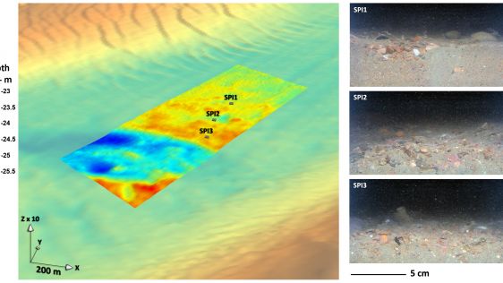
The Netherlands is a maritime nation, evidence of which can still be found in waters throughout the country. Even so, only a small part of these waters has been surveyed, and it is...
Hydrographic offices (HOs) today exist in a world of accelerating technological change that is influencing human behaviour and creating new needs for and ways of exploiting data to...
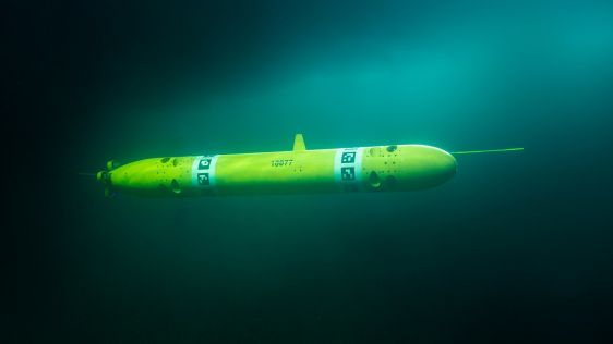
Autonomous underwater vehicles are becoming more and more common in the maritime industry, and technology is rapidly developing for different applications, such as inspection, main...
Although the single beam echosounder is still in use, it has over the last 25 years gradually been replaced with new and less expensive multibeam echosounder (MBES) systems. And, a...

This site uses cookies. By continuing to use this website, you agree to our Cookies Policy. Agree