Observing the ocean together
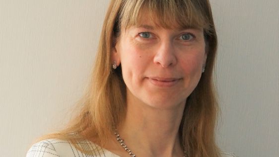
Collaborating and coordinating are two very important tasks of EuroGOOS, the European Global Ocean Observing System, located in Brussels. The member organizations work together to...
Collaborating and coordinating are two very important tasks of EuroGOOS, the European Global Ocean Observing System, located in Brussels. The member organizations work together to...
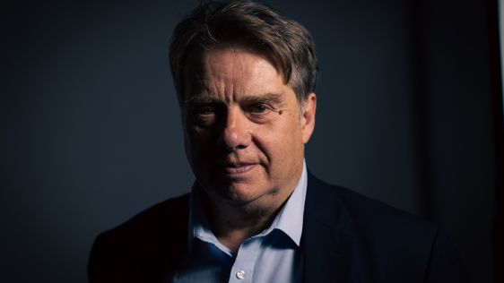
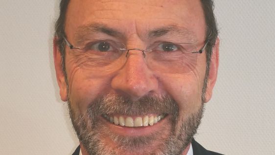
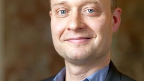
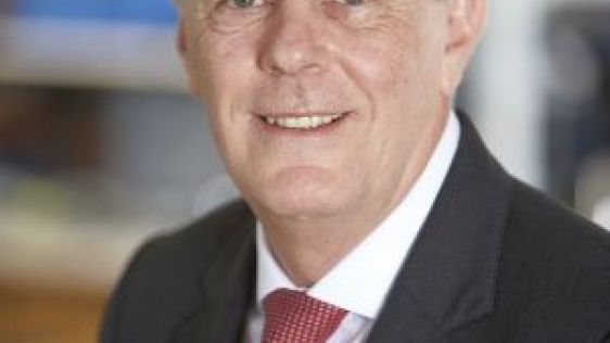
Renewable energy and the pivotal role of hydrography in offshore development take centre stage in a captivating interview with Professor Ed Hill, chief executive of the National Oc...
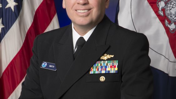
Hydro International interviewed RDML Benjamin Evans, director of NOAA’s Office of Coast Survey. Evans is responsible for overseeing the mapping and charting of all US coastal...
The implementation of the new IHO hydrographic geospatial standard for marine data and information, the S-100 product family, presents significant challenges that require coordinat...
Nicolas Seube is scientific director of the CIDCO (Interdisciplinary Center for the Development of Ocean Mapping), Rimouski, Québec, Canada; formerly the coordinator of the...
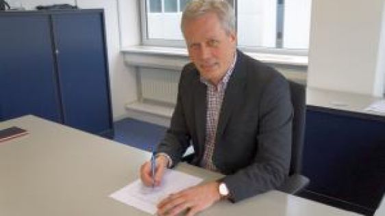
Looking at the programme of the Hydro16 Conference, that was held in Rostock-Warnemünde, Germany, one of the keynote speakers was particularly remarkable, namely the legal spe...
It’s fascinating to see that communication techniques are evolving. On the shore there is already a clear trend towards eliminating cables and wires. So a logical consequence...
Renewable energy is ‘hot’ these days. Many people think of wind farms on the horizon when they think of marine renewable energy. Marine energy can manifest itself in mo...
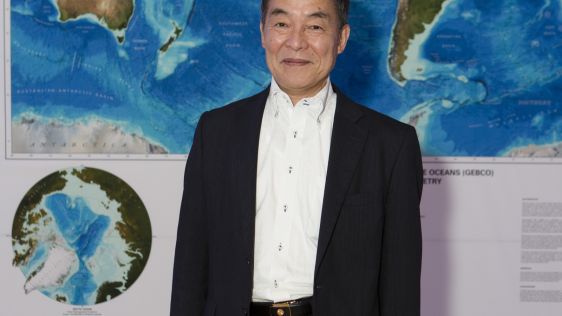
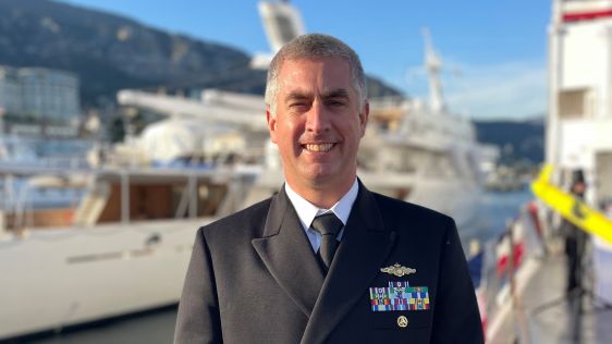
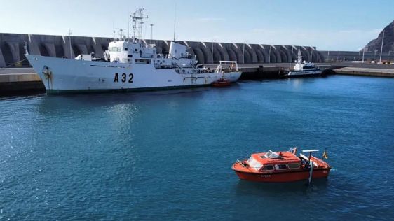
The first Forum for Future of the Ocean Floor Mapping was held in Monaco from 15 to 17 June 2016. Some 200 delegates gathered, under the flag of General Bathymetric Chart of the Oc...

Hydrographic mapping is all about collecting and processing data that leads to products such as nautical charts and other products contributing to safe navigation, a better e...
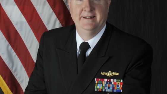
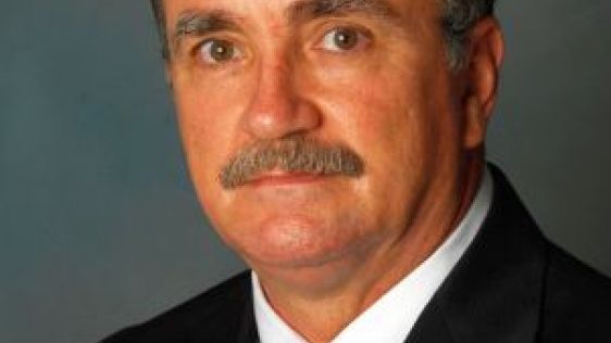
In October 2015, Capt Brian D. Connon assumed the role of director of the National Geospatial-Intelligence Agency’s Maritime Safety Office. The organisation is an import...
On 1 February 2016 a European consortium launched a new Horizon 2020 project: Blue Nodules. This project addresses the challenge of creating a viable and sustainable value chain to...

These are exciting times in the geomatics and hydrographic industry. Innovative solutions are being developed, integration is the main keyword and the big players are acquiring sma...
NOAA is one of the bigger organisations in the world that has surveying and charting in its portfolio. It’s an immense task as the USA has about 95,000 miles of coastline, im...
For some years now EMODnet has been creating access to marine data sources. The long-term aim of EMODnet is to unlock the wealth of marine observations and data in Europe that are...
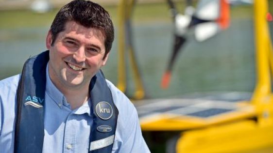
ASV (headquartered in the UK) is a pioneer in the world of Autonomous Surface Vehicles. It discovered the potential of vessels that do not need man-power on board for various tasks...
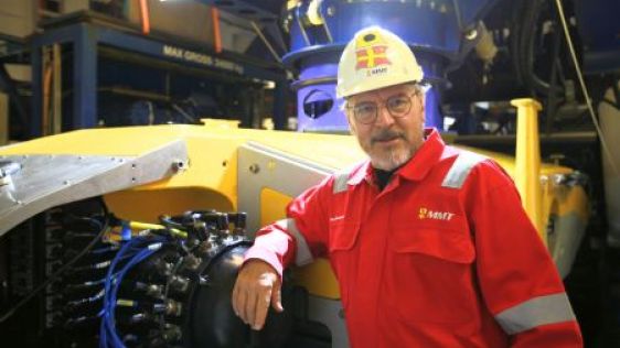
You have heard of a remotely operated vehicle (ROV), but you might not have heard of the SROV yet. The S stands for Surveyor, meaning that the SROV Surveyor Interceptor is the firs...
Canadian Lidar company Teledyne Optech originated in 1974 as a spin-off from Allan Carswell’s research at York University in Toronto, where he had initiated one of the first...
Sonardyne is an organisastion at the forefront of acoustic, inertial, sonar and optical subsea technology development. It takes vision, a sustained focus on research and developmen...
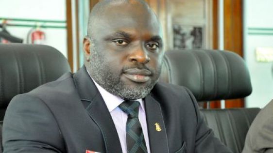
Nigeria is a country that plays an important role for the African continent, even though this is not at all times apparent. It has quite a lot of offshore activity and its ports ha...
Work is ongoing in Central America to increase the capacity of the Panama Canal to accommodate more and larger vessels transiting from the Atlantic Ocean via the Caribbean Sea to t...
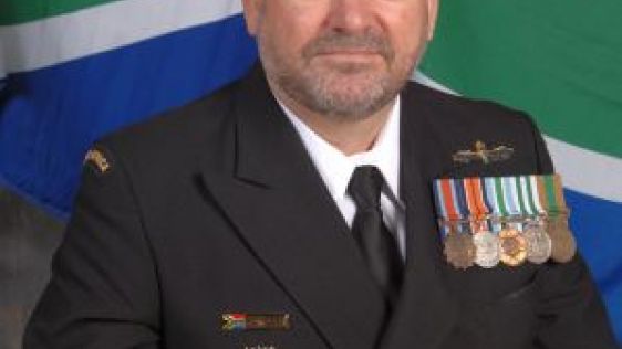
A national hydrographer with a longstanding experience – that’s how we can describe Captain Abri Kampfer from South Africa. It is a country with interesting characteristics and wit...

Chief scientist and Oceanographer Dawn Wright has taken a leading role within Esri over the past few years pushing the possibilities of GIS in the hydrographic and oceanographic wo...

The Spanish Hydrographer, a gentleman from Madrid with extensive seafaring experience, defends the use of Spanish within the IHO and is proud that the work of the Hydrographic Inst...
Commodore Romeo Ho, who recently retired as head of the Hydrographic Branch of NAMRIA Philippines and has been succeeded by Captain Jacinto Montero Cablayan, shows how a National H...
After a string of acquisitions and mergers in the last few years, QPS, as part of the HITT group of companies, became part of the Swedish Saab group more than a year ago. Dutch fou...

This site uses cookies. By continuing to use this website, you agree to our Cookies Policy. Agree