Observing the ocean together
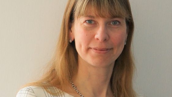
Collaborating and coordinating are two very important tasks of EuroGOOS, the European Global Ocean Observing System, located in Brussels. The member organizations work together to...
Collaborating and coordinating are two very important tasks of EuroGOOS, the European Global Ocean Observing System, located in Brussels. The member organizations work together to...
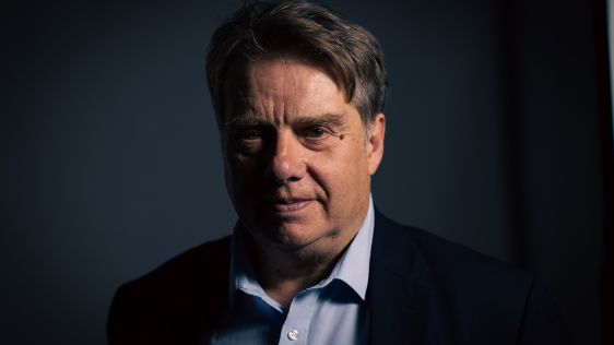
Renewable energy and the pivotal role of hydrography in offshore development take centre stage in a captivating interview with Professor Ed Hill, chief executive of the National Oc...
Hydro International interviewed RDML Benjamin Evans, director of NOAA’s Office of Coast Survey. Evans is responsible for overseeing the mapping and charting of all US coastal...
The implementation of the new IHO hydrographic geospatial standard for marine data and information, the S-100 product family, presents significant challenges that require coordinat...

In about eight years from now business for the United Kingdom Hydrographic Office originating from digital charts will exceed business from paper charts. But according to Mike Robi...
The biggest challenge for hydrography lies in surveying the Arctic seas, and the biggest opportunity for the industry lies in renewables like offshore wind energy and gas hydrates....

Bing Maps users will soon be able to look skyward from Streetside and see the stars and constellations. That is just one of the ways in which the Bing Maps team is creating what ma...

Bing Maps users will soon be able to look skyward from Streetside and see the stars and constellations. That is just one of the ways in which the Bing Maps team is creating what ma...
Modern Hydrography needs to be embedded in the much wider context of geographic information gathering and dissemination. This message will be broadcasted during Hydro2010 in Rostoc...
The International Oceanographic Commission (IOC) turns 50 this year. Since the UNESCO Commission was established in 1960 the IOC has made some remarkable achievements with relative...
Andy Hill is key-note speaker at OI 10 in London and convening the Hydrography and Geophysics track of the conference. As Marine Geohazards Technical Authority at BP he states that...
Under the presidency of Jordi Valls, the Port of Barcelona has continued to expand its operating areas and as a result the volume of maritime traffic calling at the port has also c...
Geomares Publishing is the new media company behind Hydro international, which in October took over ownership from the magazine’s previous publisher of almost ten years, Reed Busin...
Sharing benefits arising from the exploitation of mineral resources of the deep seabed between developed and developing countries is one of the main goals of the United Nations Con...

Dr Salem E. Masry, president and chief executive officer of CARIS, accepted to be interviewed by Hydro international on the occasion of the 30th anniversary of his enterprise. Dr...
The European Union has set a target stating that a 20% share of energy should come from renewable sources by 2020. Electricity systems will have to incorporate more renewable energ...

The Open Geospatial Consortium (OGC), established in 1994, develops standards for geospatial and location-based services. From its first approved implementation specification in 19...
Once upon a time, the study of the Earth’s surface, its features, inhabitants and phenomena was nothing more than a tiresome school subject for the average person on the street. Go...
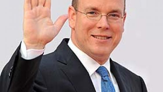
At the invitation of Prince Albert I, the Principality of Monaco has been the headquarters of the International Hydrographic Organization since 1921. Looking at the annual reports...
Last month we brought you a feature article on the recent progress in the European satellite navigation system, Galileo. We discussed the motivation, the funding problems and the p...

Technical conference Offshore Survey 09 takes place at the National Oceanography Centre in Southampton (UK) on 1–2 April. It is targeted at those in the ocean industry who are invo...
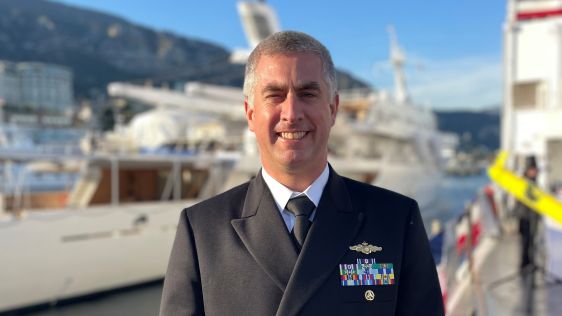
Commander Alexander Tagore Medeiros de Albuquerque (retd) of the Brazilian?Navy is one of the outstanding hydrographers of the Directorate of Hydrography and Navigation (DHN) of th...

Manned and unmanned underwater vehicles have been used for many years to explore the hidden features of the deep ocean. Dr Robert D. Ballard is an oceanographer most noted for his...
In this capacity, he is working to improve maritime co-operation within Europe by formulating a maritime policy. Hydrointernationalhas taken the opportunity to interview him, while...
The world is turning more to electronics, which in marine technology is visible when considering the change from paper charts to electronic charts. Dr Giuseppe Carnevali was early...
Large companies dominate the survey industry and all these companies have their own procedures and methods. Some surveyors try to do it differently – they are independent and work...

This site uses cookies. By continuing to use this website, you agree to our Cookies Policy. Agree