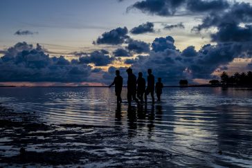
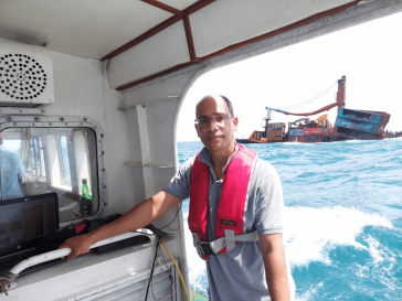
The impacts of climate change and sea-level rise on daily life in Kiribati and the Pacific region can also be felt in the hydrographic profession. In this interview, Tion Uriam, the national coordinat...
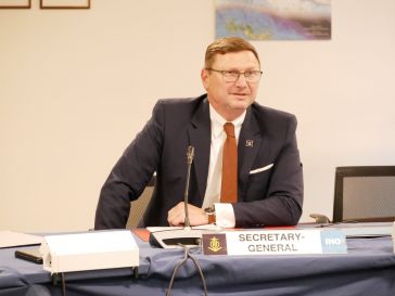
In this interview, Dr Gunathilaka, chair of FIG Commission 4 (2023–2026), discusses challenges and opportunities in the hydrographic industry. He emphasizes the need to attract and motivate young ta...
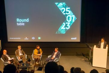
This year saw the first Exail Maritime Users Conference. Exail, you say, who are they? Exail is a new company that was formed by the merger between ECA and iXblue. From the perspective of the hydrogra...
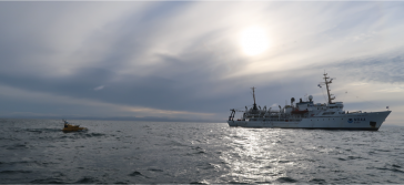
Rough conditions at sea can result in lost cargo, man overboard or even the sinking of vessels. The Netherlands Coastguard, supported by the Royal Netherlands Sea Rescue Institution (KNRM), the Centra...
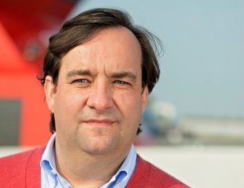
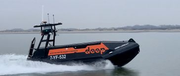
In this short Q&A, Jurgen Beerens, director of strategy and business development at Deep BV, a leading international engineering company specializing in hydrography, marine geophysics and oceanography...
The role of women in hydrography is increasing worldwide. In 2022, NOAA participated in the international Empowering Women in Hydrography (EWH) programme initiated by Canada and the International Hydr...
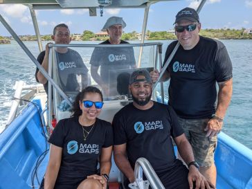
Map the Gaps is cultivating and empowering a growing network of professionals, organizations and communities working together to create new ways for interacting with, understanding and protecting the ...
Over the years, hydrography has experienced several revolutions, both in terms of technology and standards, which culminated in November 2022 in the IMO adopting a Resolution on Performance Standards ...
The state of the art in autonomous surface vehicles has evolved tremendously, and these technologies will revolutionize the field of hydrography. However, our experience shows that developing these sy...
Climate change is having a significant impact on the hydrographic industry, and many organizations are taking steps to reduce emissions and minimize their environmental footprints. Such steps include ...
Taking into account the increasing demand for autonomy in hydrography, this article examines the development of an innovative, small-sized subsea sensor fusion solution. This groundbreaking solution h...
Every year, Hydro International surveys the state of the hydrographic industry to gain a comprehensive understanding of the sector and the challenges it faces. The survey includes a series of multiple...
Dave Neff is the hydrographer and geospatial programme director at Woolpert. In this interview, he discusses the biggest challenges for the hydrographic industry in the coming years, the technological...
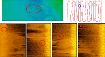
Measuring suspended particulate matter in the water column is still a big challenge when it comes to covering large areas in the sea or rivers. A novel method to monitor particles in the water column...
This site uses cookies. By continuing to use this website, you agree to our Cookies Policy. Agree