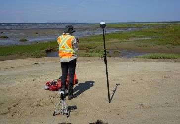
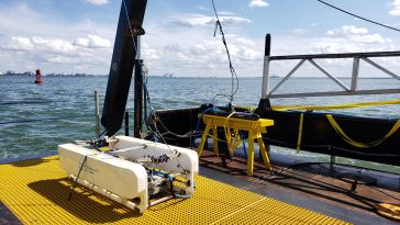
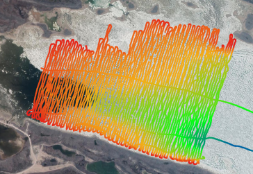
This article presents a participative geomatics project with the goal of increasing southern Québec’s coastal communities’ ability to map and monitor changes in their coastal environment. Capacit...
Sriwijaya Air Flight 182 was an Indonesian domestic flight from Soekarno-Hatta International Airport in Jakarta to Pontianak, Indonesia. On Saturday 9 January 2021, the Boeing 737 crashed into the wat...
The Indonesian archipelago is one of the world’s most beautiful archipelagos. Home to over 17,000 islands, mountains rising to over 5,000 metres, including over 70 historically active volcanoes, fab...
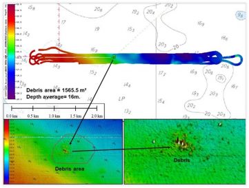
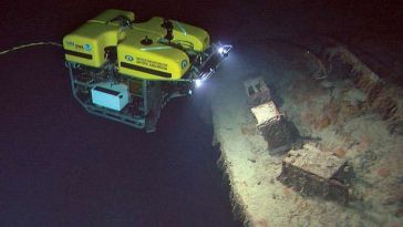
Archaeologists have long been interested in shipwrecks. These sites can tell us about ancient transportation and trading routes, technological innovations and cultural exchanges over thousands of year...
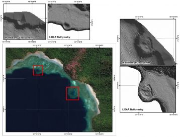
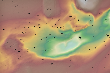
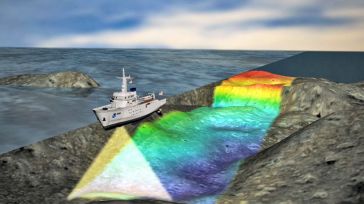
The accuracy of coastline data in Indonesia could be much improved by making use of Lidar bathymetry technology. In this article, the authors describe how Lidar bathymetry survey techniques were appli...
Acteon, a leading provider of services to the offshore wind industry, is growing, along with the rapidly expanding offshore wind market. The company believes it is important to listen and respond to c...
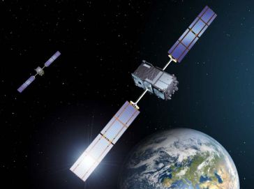
With spoofing attacks on the rise, survey-grade GNSS receivers need to be protected by interference mitigation technology utilizing the latest security techniques to ensure reliable positioning. The s...
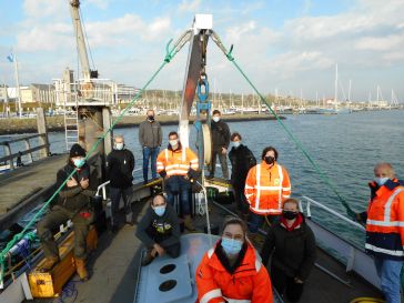
Students all over the world are finding it difficult to get the training that they need in the ongoing coronavirus pandemic. In this article, we see how a hydrographic training institute in the Nether...
With the ever-increasing and affordable availability of capacity and computing power to process and store data, the emergence of artificial intelligence (AI) in marine geomatics, ocean sciences and hy...
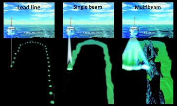
The profession of hydrographer is built upon measurement accuracy. Ever since Lucas Janszoon Waghenaer produced the first true nautical charts in 1584, hydrographers have been working to improve the a...
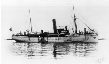
In the night of 14 April 1912, the unthinkable happened. The mightiest ship afloat, the brand new White Star Line ship Titanic, was on its maiden voyage from Southampton, England, to New York. The shi...
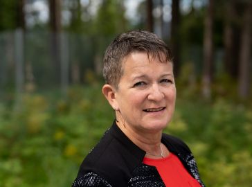
Hydro International spoke to five leading experts about the present and future of the hydrographic industry. In this interview, Birte Noer Borrevik (Kartverket: the Norwegian Mapping Authority) talks ...
The United Nations Decade of Ocean Science for Sustainable Development (Ocean Decade) 2021-2030 seeks to generate and use knowledge for transformative actions needed to achieve a healthy and resilien...
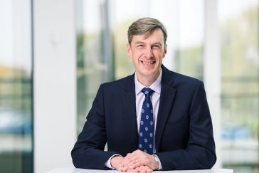
Hydro International spoke to five leading experts about the present and future of the hydrographic industry. In this interview, Rear Admiral Peter Sparkes (UKHO) talks of the exciting period of innova...
This site uses cookies. By continuing to use this website, you agree to our Cookies Policy. Agree