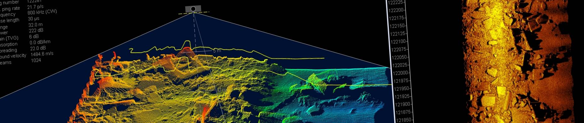


Seabed 2030: Almost 25% of World’s Seafloor Now Mapped
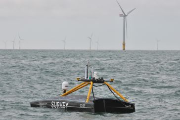
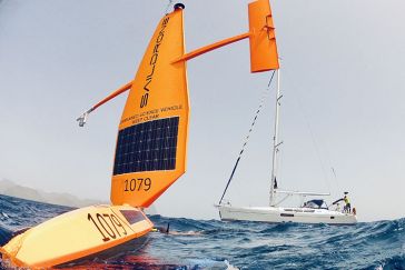
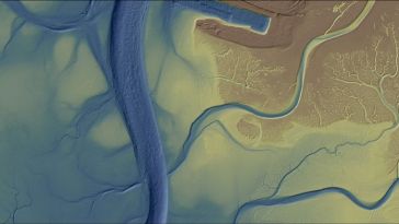
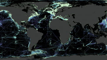
The most prominent international effort to chart the world’s entire ocean floor, The Nippon Foundation-GEBCO Seabed 2030 Project, has seen a significant increase in ocean data equating to the size o...