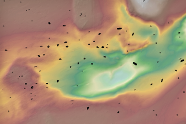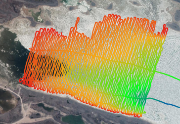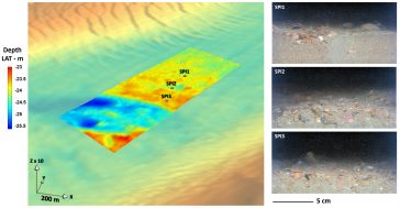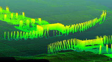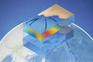


Making Oceanographic Data Accessible to a Wider Audience
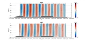
Alseamar, a producer of glider UUVs, has been able to produce highly accurate data plots of current profiles from large swathes of the water column. A combination of tailor-made algorithms, underwater...