
Autonomous surveying and underwater positioning
A visit to the Exail 2023 Maritime Users Conference
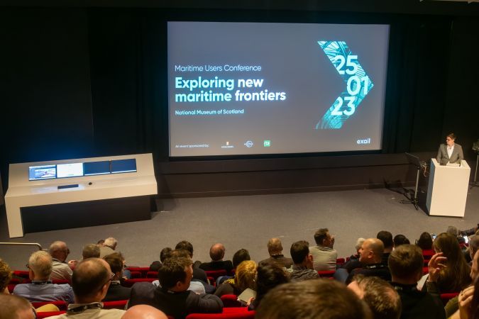
This year saw the first Exail Maritime Users Conference. Exail, you say, who are they? Exail is a new company that was formed by the merger between ECA and iXblue. From the perspective of the hydrographic surveyor, the new company combines the expertise of the former two companies in, among other areas, autonomous vehicles above and below the water surface, imaging solutions and of course subsurface positioning. Looking at the new portfolio, the two former companies augment each other, although it will take some time to get used to the new name.
The one-day conference was hosted at the National Museum in Edinburgh, Scotland, and sponsored by of course Exail but also Kongsberg, Nortek and RTS. There were nine presentations and two round table discussions on subsea positioning and maritime autonomy. Speakers included Exail employees talking about the latest developments but also the French Navy, research institutes (the British Antarctic Survey, iFremer, CCOM) and offshore survey companies (Fugro, TechnipFMC, 3D at Depth). The day ended with a brief tour of parts of the museum and an informal networking dinner in the central hall, among ancient objects from all over the world.
Subsea positioning
In the morning, the focus was mainly on underwater acoustic positioning and its challenges. Presentations ranged from USBL tracking in shallow waters to LBL planning and positioning for Lidar surveys, followed by a round table on the challenges and possibilities. The recurring theme seemed to be the (almost) impossible requirements and specifications from clients.
What became clear is that even though a sensor may be able to provide a certain accuracy, environmental conditions play an important role, and this is not always appreciated when a contract is in the design or tendering phase. Such issues may become pressing in the field and require immediate solutions, as the cost per day of keeping a construction vessel at sea is very high. Or, as Alistair McKie from Fugro said at the end of his presentation on experiences using USBL in shallow water from a construction vessel, next time they would use a USV or ASV to avoid the noise contamination. He also imagined that this would have reduced the overall cost, as it would have spared the time they spent trying to get the system working properly on the construction vessel. In this case, an ASV would have been an option as only a final position was required and no positioning during the construction itself, which would have been a challenge with both an ASV and a construction vessel.
Along similar lines, Thomas Poyau of TechnipFMC demonstrated the new LBL planning and simulation tool in Delph Subsea. He pointed out its merits during contract discussions, as it allows a direct computation of the expected LBL accuracy using local bathymetry, objects and sound velocity. Not only is the software faster than performing the computation in GIS, it also allows for more variables, thus giving a better indication of the final accuracy. It may even save costs by allowing sparse LBL setups or reducing the number of transponders needed.
Finally, Andy Baker from 3D at Depth showed the results of using underwater Lidar on a moving ROV rather than the more customary stationary setup. He focused on the challenges in positioning Lidar data. It was very impressive to see the amount of detail obtained with a Lidar on a moving ROV and, while there are still some positioning kinks to be ironed out, the results are very promising. He also presented what he called the ‘subsea positioning challenge’, making a plea, among other things, for smaller, smarter and easier to use INS systems, small transponders or a small portable USBL system for shallow water, and position aiding from local structures using for example SLAM-like techniques. All in all, an impressive wish list for Exail in the year to come.
An interesting interlude in the morning was an overview from Philippe Roumeque of Exail of the various sensors that can be mounted on an observation-class ROV for detecting UXO and aiding in its clearance. Although the sensors in themselves are common, mounting them on very small observation-class ROVs poses new challenges such as power requirements. Very impressive were the enhancements to the camera imagery, upgrading murky images to relatively clear imagery to allow much better detection.
Maritime autonomy
The afternoon focused on autonomous vehicles, both above and underwater. Between the presentations, there was a live demonstration of DriX with the system operated in the conference room while the USV was thousands of kilometres away in the south of France. The various capabilities were briefly demonstrated, including collision avoidance, which worked like a charm, but also the new autoline option. This allows DriX to automatically plan survey lines adjacent to each other using various settings in the software. Although some clipping seemed to be done on the bathymetry to derive nice straight lines, it is an interesting feature as it brings us a step closer to autonomous survey operations on top of autonomous sailing capabilities. When talking about the level of autonomy, Exail was clear that DriX requires human supervision at all times. However, this supervision can be performed from a remote location without a problem, as shown during the presentation.
There were three different presentations on the present and future use of DriX. The first to speak about enhancing survey capabilities with DriX was Dr Kelly Hogan from the British Antarctic Survey, who explained which types of surveys are currently being conducted in Antarctic and Arctic waters, what their challenges are and how they envisioned using DriX while the ‘mother’ ship, the new RRS Sir David Attenborough, performs other tasks at the same time. This was a new world with tethered AUVs lowered under the ice but also surveys under the ice to map temperature differences.

Olivier Moisan from Exail explained how DriX was used in a wind farm for a bathymetric survey with DriX out of view (over the horizon). What was interesting is that one of the tracks had a strange curve in it. After checking the data, it was found that the construction vessel had placed a series of sonar buoys around it to monitor underwater sound and one was exactly in the path of DriX. Not being warned, the line pattern was exactly on top of the buoy. However, DriX took it upon itself to take avoiding action.
Larry Mayer of the Center for Coastal and Ocean Mapping explained the simultaneous use of multiple unmanned and autonomous vessels. During his presentation, he showed results where the survey ship was controlling DriX over the horizon while DriX in turn controlled a tethered AUV as well as a free-ranging AUV. To make this work, DriX observed the position of the AUVs and sent relay commands from the mother ship.
An interesting interlude in the afternoon was a presentation from Jan Opderbecke from iFremer showing the results of the Sams-150 synthetic aperture sonar on their new custom-designed and custom-built Uly 6,000m deep-sea AUV. The imagery from the SAS was – as ever with an SAS – stunning, showing very fine details of a few centimetres’ resolution. Besides the SAS, there is a whole host of other sensors, including some that can be swapped out. Also impressive were the capabilities of the new AUV, with a 24–48-hour bottom time at four knots. Especially impressive is the way that it travels to its ‘hunting’ ground, by diving at a 70–80-degree angle towards the bottom to maximize time on the seafloor.
Rules and regulations
The final round table was dedicated to the current international rules for unmanned vehicles, which also includes vessels that are unmanned but not autonomous. The discussion started with the lack of a proper definition of unmanned and as such the rules it would need to adhere to. This is because, when maritime legislation was created, something as futuristic as an unmanned vessel was not foreseen. As a result, there is currently no common international legislation and every state has its own rules, depending on how liberal it is regarding unmanned vessels. The problem could become even worse according to the specialists when a vessel flying one state’s flag operates in another country and is possibly controlled from yet a third state. Without clear rules and regulations, this would create a legal knot. In reply to a suggestion from the audience to involve the classification societies, the lack of legal harmonization under which these societies would have to work was highlighted. There is work to be done, it seems.
To summarize, the Exail Maritime Users Conference in Edinburgh gave us the endless possibilities of unmanned surveys (provided we can keep the specifications and requirements in check), but also told us that we operate them at our own risk for now, especially in ‘foreign’ waters. As you may imagine, many of the details provided during such a day get lost in a simple summary such as this, but we will continue to update you on these topics in future issues of Hydro International. Let me finish for now by saying that it was an inspiring day at an inspiring location.


Value staying current with hydrography?
Stay on the map with our expertly curated newsletters.
We provide educational insights, industry updates, and inspiring stories from the world of hydrography to help you learn, grow, and navigate your field with confidence. Don't miss out - subscribe today and ensure you're always informed, educated, and inspired by the latest in hydrographic technology and research.
Choose your newsletter(s)


