Bringing Land and Sea Together
Private companies and governmental institutions from seven countries around the North Sea are working together to find new and innovative solutions for the harmonisation and integration of maritime information and marine and terrestrial geographical data.
The North Sea nations currently handle maritime information and geographical data independently, and there is little integration of land and sea data within each country. Data on the sea is typically collected and maintained by hydrographic survey services, while terrestrial data is collected and maintained by topographic mapping or cadastral agencies - considering only the internal user requirements of each organisation. In addition, some areas are not covered at all. Incomplete or inconsistent geographical datasets and lack of reliable maritime information hinder effective coastal zone management and pose a risk of marine casualties, environmental damage and ship detainments. With climate change and increasing pressure on coastal areas, a common approach to future challenges is required.
Bringing Land and Sea Together (BLAST) is the title of a three-year regional project which seeks to improve maritime safety and integrated coastal zone management and planning - in the context of climate change. It started in 2009, and involves 16 main partners from Norway, Sweden, Denmark, Germany, Belgium, the Netherlands and the UK - and an associated partner from Iceland. BLAST is partly funded by the Interreg North Sea Region Programme 2007-2013. "All activities in the BLAST project are based on international standards, and they will be carried out in close connection with other initiatives and organisations, like INSPIRE and the International Hydrographic Organisation (IHO). We will also establish relationships with other relevant projects," explains project manager Roy Mellum, who represents the lead partner of BLAST- the Norwegian Hydrographic Service.
BLAST is divided into four work packages. The first addresses the needs of marine spatial planning, environmental protection, socio-economic development, risk management and mitigation, by delivering harmonised land and sea geographical datasets. Its main goal is the development of Marine and Coastal Base Reference Information, or digital base map, for the North Sea. To reach this goal, work package leader SeaZone will collaborate with other BLAST data providers around the North Sea to make geographic data available for the widest possible use. Once data is made available, its geometry and attribution will be standardised and harmonised, removing the requirement for end users to reprocess the data. This will deliver significant time and cost savings to end users.
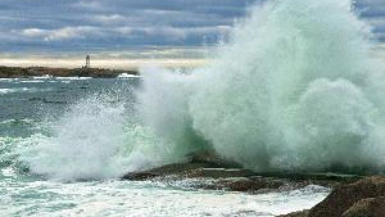
The second work package contributes to safer navigation by facilitating harmonisation of the encoding of navigational information in official Electronic Navigational Charts (ENCs). With IMO's mandatory carriage of Electronic Chart Display Systems (ECDIS) beginning in 2012, it is important that ENCs produced by different hydrographic offices appear as seamless datasets when displayed on the ECDIS screen. The legacy of the information encoded in ENCs, which in many cases originates from paper charts, means that individual ENCs are valid from a standard's perspective, but appear differently when viewed side by side on an ECDIS. Harmonising ENCs is a time consuming process, but BLAST has developed an automatic tool that will speed up the harmonisation procedure. This will give Mariners access to ENCs that are harmonised across national boundaries, and the harmonised display will remove confusion sometimes caused when ENCs from different producers are viewed together.
The work package, which is led by the Norwegian Hydrographic Service, will also build and demonstrate a web-based maritime data collection system to streamline the processing of changes to charts and publications. In addition, it will demonstrate a North Sea digital Mariners' Routing Guide to illustrate that the use of harmonised publication content and streamlined maritime data management systems can improve the value and reliability of Routing Guides. Finally, it will build a 3D test model of the harbour in Zeebrugge in Belgium.
The Norwegian Coastal Administration leads a work package which aims to improve vessel safety and management of the environment through the development of a regional maritime traffic monitoring platform for the North Sea region. This work includes the harmonisation of maritime traffic information formats in the region, the addition of new formats where needed, the harmonisation of regional maritime traffic information with SafeSeaNet, as well as a proposal for new functionalities. In addition, a network and server platform for development and demonstration will be created. This work package will concentrate on a best practice network among stakeholders - from data providers to end users. It will develop pilot studies focusing on practical solutions for harmonisation of maritime traffic information, and identify existing formats and propose new formats and standards to improve the exchange of information.
The last work package is led by Aalborg University, and aims to develop new common policies and instruments that support integrated coastal zone planning and management in the context of climate change. The possible impacts of climate change provide additional challenges to coastal areas, which are already under immense pressure. The sea level might rise and rainfall patterns in the upper catchments might change - and ecosystems will need enough space for dynamic changes. A planning framework that takes all those aspects into account must be based on relevant planning themes, data access and integrated institutional frameworks. This work package will develop a conceptual model for integrated spatial planning which covers both land and sea, and a planning framework which includes climate change scenarios. It will also develop a prototype of a web-based platform for analysis and visualisation of climate change impact. In addition, it will develop, deploy, update and test a decision-supporting framework for integrated coastal zone management in a transnational context.
BLAST will follow guidelines from the IHO as state of the art, and the outcome of the project will form a regional input to the organisation. The results from the first year of the project period will be presented at a BLAST conference in Hirtshals, Denmark, on 15-16 September 2010. The conference is open to the public.
The North Sea Region Programme 2007-2013 works with cutting-edge policy areas in regional development through transnational projects. A principal aim of the programme is to expand the scope of territorial co-operation and focus on high-quality projects in innovation, the environment, accessibility, and sustainable and competitive communities.
The 2007-2013 programme connects regions from seven countries around the North Sea, incorporating policy level planning and the long lasting and tangible effects of projects. These are the foundations of the future transnational projects, which will create added value to partner regions and beyond.
BLAST is partly funded by the North Sea Region Programme 2007-2013.

Value staying current with hydrography?
Stay on the map with our expertly curated newsletters.
We provide educational insights, industry updates, and inspiring stories from the world of hydrography to help you learn, grow, and navigate your field with confidence. Don't miss out - subscribe today and ensure you're always informed, educated, and inspired by the latest in hydrographic technology and research.
Choose your newsletter(s)


