Dynamic Seabed Mapping Technology Showcased in Fort William
On 7 December 2016, DOF Subsea together with subsea technology companies Sonardyne, 2G Robotics and Seatronics (an Acteon company) demonstrated an underwater surveying technique that will have a significant impact on the time needed to map underwater structures and offshore sites. This ROV-mounted solution brings together three independent systems: 2G Robotics ULS 500 Pro Laser (exclusively available from Seatronics), Sonardyne’s SPRINT acoustically aided inertial navigation sensor, and DOF Subsea’s exclusive Metro software. Each system is proven in its respective field.
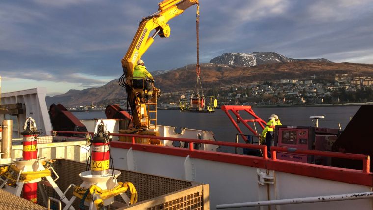
The mapping operations are conducted while the vehicle is in motion in order to simultaneously survey multiple horizontal or vertical flanges. Representatives from across the energy sector attended demonstrations held at The Underwater Centre in Fort William to showcase the capabilities of Dynamic Mobile Mapping.
Underwater metrology requires accurate, precise and robust measurements. By combining the 3D laser data with precise underwater acoustic and inertial navigation information, the solution generates high-resolution engineering models from which accurate measurements can be instantaneously and repeatedly captured. This is critical for successful fabrication and installation of spools and jumpers, and brings enormous cost and time saving benefits.
This technology has a number of characteristics:
- Non-Intrusive - no prior subsea intervention is required in advance of metrology, and no subsea bracketry, control spheres or metrology aids are required
- Flexible Deployment - modular system which can be easily fitted to an ROV (for Dynamic data acquisition), or mounted onto a tripod (for static data acquisition)
- Time to Survey - significant reduction in the time (and therefore vessel cost) needed to gather the survey data in comparison to traditional techniques such as pure acoustic LBL; typically less than three hours for a laser metrology.
- Time to Data - quick delivery of results offshore; typically within six hours of data acquisition
- Inferred Metrology - with prior dimensional control information, hub position and orientation can be inferred using laser scan data
- More than Metrology, the 3D model used for metrology serves as an As-Built model of the subsea installation and the surrounding area to provide a baseline for future intervention work.

Value staying current with hydrography?
Stay on the map with our expertly curated newsletters.
We provide educational insights, industry updates, and inspiring stories from the world of hydrography to help you learn, grow, and navigate your field with confidence. Don't miss out - subscribe today and ensure you're always informed, educated, and inspired by the latest in hydrographic technology and research.
Choose your newsletter(s)


