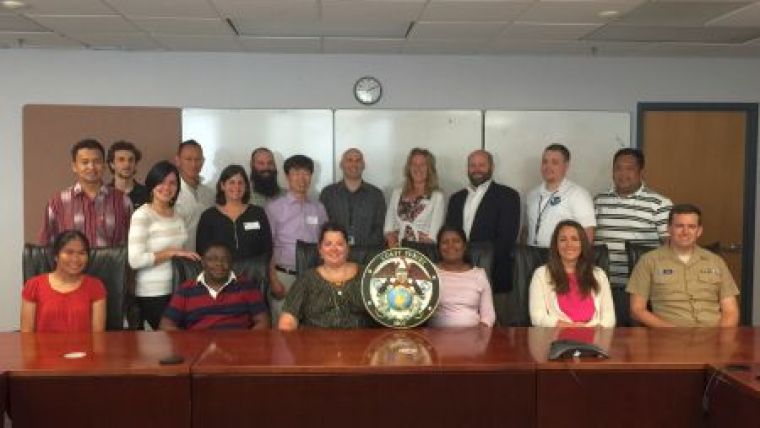
First NOAA Chart Adequacy Workshop
The key objective of the NOAA Chart Adequacy Workshop was to demonstrate techniques to evaluate the suitability of nautical chart products using chart quality information and publicly-available information. The three-day workshop was held in Silver Spring, Maryland, USA, from 14 to 16 July 2015. The attendees were cartographers, hydrographers and potential chart producers from hydrographic offices and government agencies around the world. The nations of the participants in the workshop included: Indonesia, Israel, Japan, Kenya, Malaysia, Philippines, South Korea, Sri Lanka, United Kingdom, United States and Venezuela.
The workshop began with a general overview of chart adequacy procedures, emphasising that the focus of the workshop was quality management (as opposed to uncertainty management where risk is calculated based on potential consequences by different users and vessels in different marine settings). NOAA’s Lt Anthony Klemm stated the three main goals of the workshop: 1) Train an international group of hydrographers and cartographers; 2) Discuss and review a procedure for assessing chart adequacy based on the depth, main traffic routes and the last available survey in the area, and; 3) Present different publicly-available datasets and their usage for charting.
Through instructor presentations and GIS laboratory exercises (provided by Dr. Shachak Pe’eri and Lt Anthony Klemm), the participants generated the key layers that are involved in the NOAA procedure. A vessel traffic layer was generated by classification of navigational routes using Automatic Identification Systems (AIS) information.
A bathymetric difference layer was generated by identifying areas that showed significant bathymetric changes identified by comparing Satellite-Derived Bathymetry (SDB) or other surveys of opportunity, with the existing chart. A hydrographic characteristics layer was generated by classification of chart quality information. Chart data (including the smooth sheet sounding sets) for the procedure were provided in a vector format with the appropriate metadata according to IHO S-57. Raster Navigational Charts were also used as a background and as a reference for the Bathymetric Difference layer.
The participants’ interaction with the presenters, during both the workshop and the networking events, was very positive. The interest of the students included the understanding of the procedure, the mechanics of purchasing or receiving AIS data from different vendors, and the different satellite imagery that can be used for SDB.
A Chart Adequacy Evaluation cookbook was provided to attendees. This document will also be added this year to the IHO-IOC GEBCO Cookbook. This will widen the network of users who can access this material. The chart adequacy procedure is a low-cost tool that that can be applied at HOs abroad, including in developing nations. An additional benefit of the workshop will be strengthening international relationships between HOs around the world, thus aiding capacity-building efforts. Future workshops are planned based on this first pilot workshop and the feedback received from the participants.

Value staying current with hydrography?
Stay on the map with our expertly curated newsletters.
We provide educational insights, industry updates, and inspiring stories from the world of hydrography to help you learn, grow, and navigate your field with confidence. Don't miss out - subscribe today and ensure you're always informed, educated, and inspired by the latest in hydrographic technology and research.
Choose your newsletter(s)


