High-precision Cartography Bilbao and Donostia
AZTI-Tecnalia, Spain, has presented the cartography for the sea beds off the coast at the Basque cities of Donostia-San Sebastián and Bilbao. The high-precision material is aimed at use for fishing and leisure, such as scuba diving, surfing or recreational fishing. The project was financed by the Department of the Environment, Land Planning Territorial, Agriculture and Fisheries of the Basque Government.
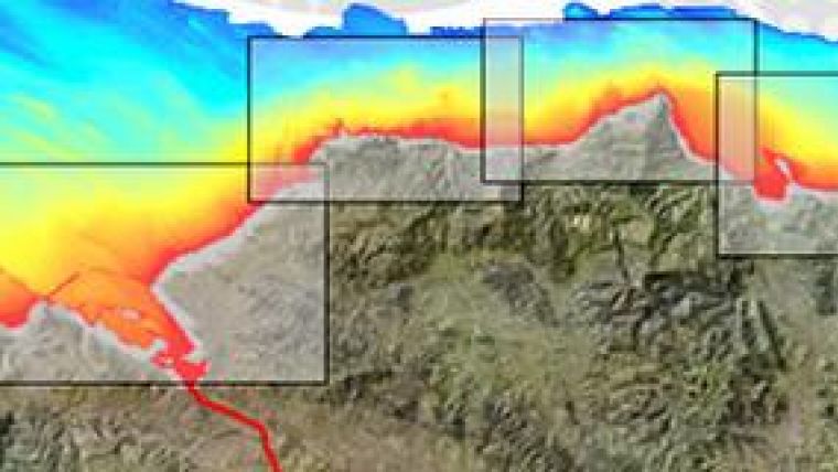
The material forms part of a project aimed at mapping the entire continental shelf located off the Basque coast, detailing the most salient points such as rocky outcrops, underwater canyons or shipwrecks. The study was undertaken by the Area of Operational Marine and Oceanographic Dynamics of AZTI-Tecnalia. The maps corresponding to other enclaves of the shelf will be published shortly. The order of publication will depend on the interest shown by potential users of this information.
The cartography of the Bilbao geographic zone encompasses the interior continental shelf comprising the stretch from El Covarón to Barrika and, in the case of Donostia-San Sebastián, the sea bed of the coastal city's municipal limits.
The information obtained from this study is being used to classify the different sea beds based on the composition of their sediments, differentiating between stones, sands and mud and the various intermediate stages. Likewise, the fishing zones and their corresponding sea beds have been geographically detailed.
Knowledge of the characteristics of the sea beds is basic to predicting the distribution of habitats as well as inferring what the impact will be of climate change on those habitats and on the geomorphological processes that will affect the estuaries and the sands of our coasts. Moreover, current legislation makes the morphological characterisation of the sea beds and habitats obligatory in order that the necessary measures for their protection and management can be taken.
Organisations such as SASEMAR (Maritime Salvage and Safety), Ertzaintza (the Basque police), the Public Emergency service or the Red Cross will be able to have available the best and most detailed plans of the sea beds, with the goal of optimising search and rescue of possible victims of accidents at sea. In this way, search and rescue times and the costs entailed thereof can be reduced.
The traditional fishing sector, especially shellfish fishing, long-line fishing and net fishing, will benefit from this data, being able to significantly increase catches. It will likewise be of great use to port management, as regards the depths of water and dredging operations.
The cartographic information will be used as a basis for marine environment studies of all kinds (biological, geological and hydrodynamic), that can be undertaken by the UPV/EHU, AZTI Tecnalia or any other research body with an interest in the zone.
Maritime leisure activities will also be well served with the results of this research. A detailed knowledge of the seafloor off the coastline is of keen interest to surfers; knowing exactly the water depth and sea bed contour, together with a good prediction of wave conditions, will be used to predict the best locations and moments of the tide for practising this sport. Likewise for other nautical recreation and recreational fishing.
Nautical schools will be able to incorporate the data into their navigation simulators, so that the virtual manoeuvres for entering the various ports of the Autonomous Community of the Basque Country will reflect reality much better, thus enhancing the training and skills of future master mariners and captains.
Other interesting uses could be by diving schools and clubs in order to prepare divers in a virtual manner and carry out exact planning for the areas to be visited, and in a safer way. The information can also be used for public transport vessels, environmental education centres, maritime museums, aquaria, interpretation centres, and so on. In the same way, any sea sports event, or yacht or rowing club will benefit from the data.
The AZTI-Tecnalia researchers used Multibeam Ecoprobe in their study. This technology enables, by means of various acoustic pulses, the reproduction of the topography of the sea beds in the zone under investigation with a wide-ranging and very high definition. Besides this precision, time is gained, which means a considerable saving in the task of sampling. The vessel used during the field work has great manoeuvrability and little draught and, thus, is especially suitable for taking samples near the coast and in ports and estuaries.

Value staying current with hydrography?
Stay on the map with our expertly curated newsletters.
We provide educational insights, industry updates, and inspiring stories from the world of hydrography to help you learn, grow, and navigate your field with confidence. Don't miss out - subscribe today and ensure you're always informed, educated, and inspired by the latest in hydrographic technology and research.
Choose your newsletter(s)


