Industry Brings Innovation to Inspire the New Generation
Looking Below the Surface and Seeing What Lies Ahead
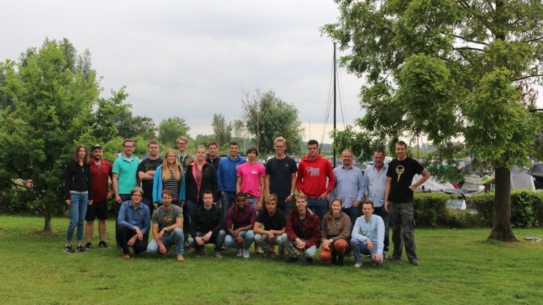
For the fifth year in a row, the Lake Survey was held in the Netherlands. This year Teledyne CARIS collaborated with Boskalis and Fugro in a one-week all-encompassing practical survey week. From 26 to 30 June 2017, 14 students worked with some of the most advanced equipment and technology that is currently available in the market. The organising committee had prepared a week with a varied programme. Practical sessions, demonstrations and presentations covered various subjects that the students are likely to encounter in their professional careers. After 5 days full of mobilisation, calibration, demonstration, information, innovation and recreation, it was time for an evaluation. Another successful edition for the third-year students of Ocean Technology from the Maritime Institute Willem Barentsz (MIWB) gave the students extra motivation to complete their studies in preparation for a career as a surveyor.
Forward Focus
The Vlietland Lake has proven to be very suitable for the Lake Survey. As the area of operations was already known from previous editions, there was opportunity to spend time with the students discussing new concepts and ideas. Utilising two survey boats and training rooms, all three organising parties adopted an innovative subject to focus on throughout the week. Nevertheless, hydrographic surveying remained the core element of the week.
To this end, an R2SONIC 2024 was pole-mounted on Boskalis’ Mostly Harmless (Figure 3) and the collected data was processed by the students with CARIS HIPS and SIPS (Figure 4). Furthermore, Kongsberg was invited to present their wireless network system and the Rijnland District Water Control Board provided a lecture about the emergence and history of the Vlietland.
Digital Dimensions
Boskalis gave the students an insight into Virtual Reality (VR, Figure 5) and Augmented Reality (AR) to demonstrate how it is used in their daily operations. Wearing HoloLenses and VR-glasses, the volunteers were placed on board vessels, on oil rigs and on engineering projects. New 3D models were created and uploaded on the spot. Luckily, for the fanatics among the students, there was even time for a short online gaming demonstration. The development for professional use goes hand in hand with that for the gaming industry and it is likely that the junior surveyors will be using VR and AR more on their future projects.
Precise Positioning
Fugro used their survey boat Calibrator (Figure 6) to work with Long BaseLine (LBL). On board of the vessel the students learned the basics of LBL networks and setting these up. In the training room they got hands-on with the COMPATT and ROVNav through inspection, testing and interrogating the equipment. Adding to the lectures taught at the college, the real-life operation of the transponders and network provided the students with a complete understanding of LBL. The experience with this system will certainly prove its value once they start working offshore.
Data Driven
Teledyne CARIS processed all data in near real-time with CARIS Onboard. An automated workflow produced a clean and fully attributed Digital Elevation Model (DEM, Figure 8), which became available to the students in the processing room for final analysis. The local wireless network was set up with Kongsberg’s Maritime Broadband Radio (MBR) between the boat and the shore. To allow external interested parties to view the progress on the week’s survey, the network was extended globally by establishing a 4G connection. Live updated data was available throughout the week for monitoring and analysis to anyone that requested the link to the service. The results and possibilities raised some questions from the students about their future role as a surveyor, before realising that it will only become more interesting. They are now able to efficiently operate multiple survey platforms from any location in the world.
Reported Results
The entire lake has been surveyed in the permitted time (Figure 9). An area of 1,248,178 m2 was covered within the week. 169 lines with a total length of 53,963.59 metres were run during 12 hours and 37 minutes and 19 seconds of effective data logging with an average speed of 4.88 kilometres per hour or 2.64 knots. A total of 273,159,000 soundings were recorded with depths ranging between 0.55 and 36.89 metres. The processed dataset, including background layers, is available for download here together with the free viewer CARIS EasyView. For more info, contact [email protected].

Value staying current with hydrography?
Stay on the map with our expertly curated newsletters.
We provide educational insights, industry updates, and inspiring stories from the world of hydrography to help you learn, grow, and navigate your field with confidence. Don't miss out - subscribe today and ensure you're always informed, educated, and inspired by the latest in hydrographic technology and research.
Choose your newsletter(s)


