MMT Performs Geophysical Soil Investigation of Dutch Wind Farm Zone
Rijksdienst voor Ondernemend Nederland has awarded MMT a contract to perform a geophysical soil investigation of the Ten Noorden van de Waddeneilanden Wind Farm Zone. The objective of the investigation is to contribute to the bathymetrical, morphological and geological understanding of the area. Ultimately the data will be used by offshore wind farm developers to prepare bids for this site.
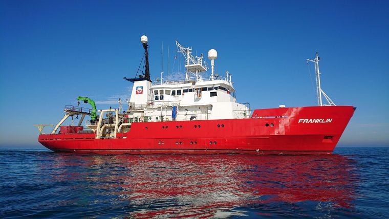
A high-resolution and accuracy ground model ensures that developers can prepare their bids with the least amount of uncertainty, which helps lower the price of developing these OWFs. Project preparations are currently underway, with the fieldwork planned to be performed in July and August from MMT’s survey vessel Franklin.
Bathymetry and Seabed Imagery
The geophysical survey comprises of the collection of high-resolution bathymetry and seabed imagery, in addition to determining the exact, current position of existing (in service & out of service) cables and pipelines. A geological ground model of the site will be established by using both a parametric echosounder and a 2D/3D UHRS system. MMT's CCO, Nils Ingvarson, said "The contract award underscores the capabilities of MMT within the renewables energy sector. We are delighted to be awarded this highly demanding survey assignment".
More information at www.rvo.nl and www.mmt.se.

Value staying current with hydrography?
Stay on the map with our expertly curated newsletters.
We provide educational insights, industry updates, and inspiring stories from the world of hydrography to help you learn, grow, and navigate your field with confidence. Don't miss out - subscribe today and ensure you're always informed, educated, and inspired by the latest in hydrographic technology and research.
Choose your newsletter(s)


