POSPac Cloud for Mobile Mapping
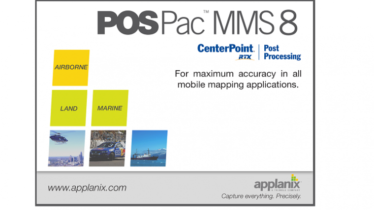
Applanix has introduced its POSPac Cloud software for directly georeferencing data collected from cameras, Lidar, multibeam sonar and other sensors on mobile platforms. As an online version of Applanix’ GNSS-aided inertial POSPac MMS post-processing desktop software, POSPac Cloud is optimised for air, land and marine environments and platforms and is compatible with a variety of mapping sensors such as Lidar and cameras.
Featuring Trimble CenterPoint RTX post-processing service for centimetre-level positioning without base stations, POSPac Cloud enables original equipment manufacturers (OEMs) to seamlessly integrate high-accuracy direct georeferencing as part of the overall mobile mapping value chain.
The announcement was made at INTERGEO 2017. The Applanix booth is located in Hall 4.1, stand C4.050.
POSPac Cloud is expected to be available worldwide in the first quarter of 2018 through the Applanix sales channels.

Value staying current with hydrography?
Stay on the map with our expertly curated newsletters.
We provide educational insights, industry updates, and inspiring stories from the world of hydrography to help you learn, grow, and navigate your field with confidence. Don't miss out - subscribe today and ensure you're always informed, educated, and inspired by the latest in hydrographic technology and research.
Choose your newsletter(s)


