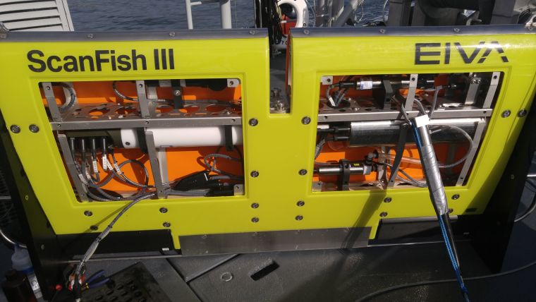
ScanFish ROTV Increases Data Coverage and Efficiency of Data Acquisition
Using two vessels and a wide array of oceanographic sensors, the City of San Diego, California, USA, continually inspects and reports on two wastewater outfalls: Point Loma Ocean Outfall (PLOO) near the mouth of San Diego Bay and South Bay Ocean Outfall (SBOO) near the US/Mexico border. The City of San Diego looked to the ScanFish Rocio model in EIVA’s ScanFish remotely operated towed vehicle (ROTV) product line as a means of increasing data coverage and quality while at the same time decreasing vessel time.
The water quality component of the traditional monitoring surveys is comprised of performing vertical casts with a Sea-Bird CTD at a series of fixed grid stations over a three-day period.
Multi-purpose Survey Platform
The ScanFish Rocio is a flexible multi-purpose platform. It is capable of integrating a wide variety of sensors and being configured to collect continuous readings at any point in the entire water column at normal vessel speed. It can automatically track at a fixed depth in the water column, move in a undulating pattern from surface to seabed or move in a terrain-following mode while towed by a vessel, collecting in-motion profiles of the sensor data.
Data Visualisation
The ROTV system was first used in the spring of 2016. The sea trials were successful and the data was processed using EIVA’s NaviModel software to quickly visualise the results.
Data acquired with the ScanFish and presented in the EIVA NaviModel software, shown as an XYZI point cloud with the I value representing oxygen, temperature, etc. The wave/undulating pattern of the ScanFish is clearly seen together with the sensor data.
Larger Area Covered in the Same Time
The first trial performed by the City of San Diego indicates that a significantly larger area could be covered in the same amount of time. More trials must be performed in order to determine precisely the extent of the additional coverage that can be completed on a typical sampling day. City staff were impressed with the initial results and were optimistic that utilising the ScanFish system could lead to improvements in sampling efficiency and data collection, and potentially a better understanding of local waste water plume dynamics.
The configuration supplied to the City of San Diego has laid the groundwork for the development of a turn-key system dedicated to waste water management operations. Based on the City of San Diego’s feedback, a number of features have been added to the EIVA NaviSuite software development plan for release in 2016, including:
- Improvements to the multi-parameter drivers inside NaviPac, especially live generation of XYZI for each of the sensors so they are shown in real-time inside the NaviPac 3D display as well as in graphs/data value displays as you sail.
- Real-time generation of digital terrain models (DTM)/surfaces from any sensor, not just traditional sonar/laser values. This is useful for other customer groups as well, such as magnetometer users.
- New visualisation features in NaviModel making it easy to filter the samplings on sensors values to easily visualise the plume and to have different terrain models built from the many different sensors for ease of visualisation.

Value staying current with hydrography?
Stay on the map with our expertly curated newsletters.
We provide educational insights, industry updates, and inspiring stories from the world of hydrography to help you learn, grow, and navigate your field with confidence. Don't miss out - subscribe today and ensure you're always informed, educated, and inspired by the latest in hydrographic technology and research.
Choose your newsletter(s)


