Seabed 2030 speeding up to meet its decade target
Unlocking the potential of private and public datasets for ocean floor mapping
Seabed 2030 is rapidly approaching its ultimate objective of mapping the entire seabed within seven years. To achieve this goal, the project is actively seeking donations of both public and private datasets. Jamie McMichael-Phillips, director of The Nippon Foundation-GEBCO Seabed 2030 Project, is steering the project carefully through challenging waters. In a recent interview with Hydro International, McMichael-Phillips provided updates on the project’s progress and current status.
“We’re now in year six of the project, and according to the last GEBCO grid released in 2022, 23.4% of the world’s ocean is now mapped. Considering this figure was 6% in 2017, that is a huge increase. We now have to keep the pressure on to ensure this continues. We will be releasing the 2023 version of the grid in time for the IHO Assembly in Monaco this May. The Assembly will be an ideal opportunity to encourage Member States to examine their repositories and consider what more can be released to Seabed 2030 for incorporation in the GEBCO grid.”
Can you give an estimate of the percentage that this data lying on shelves could contribute?
“A conservative guess would be about 15%, but it is perhaps as much as 20% across all sectors in the marine space. That figure has been quoted elsewhere in the last six months, and I think it is probably a good estimate. We have high hopes of help from the UN Ocean Decade and the recent industry working group set up to look at how industry can release more of the data gathered on behalf of clients. If we can use this, we can move forward quickly to increase the total area mapped.”
What are the main reasons not to hand over data that has been acquired but is sitting in closed repositories?
“There are plenty of reasons. Fully understandably, national security issues may play a role. In other cases, it may be commercial sensitivities. And quite often, it is resources. An organization that has gathered data for a specific purpose and in a specific format may not have that data in a suitable format for release. They therefore have to find somebody to process the data into the right format. So my message to all those sitting on data is to first look at what datasets you are holding. Seabed 2030 is not looking for high-resolution safety-of-navigation-standard data. For shallow waters, we are looking for, at best, a 100 x 100-metre box with one depth value, with the box size increasing with depth. I argue that this is not of a high enough resolution for those that are worried about national security or commercial sensitivities. However, because ‘any data is better than no data’, we are happy to receive data at whatever resolution people are comfortable sharing.”
What are solutions when resources are the obstacle?
“I think it is natural in any organization to have a mission, a budget and limited resources to meet those goals. Perhaps for some organizations, it is not their core mission to take on extra work to process data for release to us – that may well affect the financial bottom line negatively. But Seabed 2030 can perhaps help with that; we are grateful to be able to draw occasionally on the expertise of a number of people within the GEBCO community, particularly the 100-plus fellows of the ocean mapping course, The Nippon Foundation-GEBCO Alumni, some of whom may be available to lend a hand. I understand that it is not quite as simple as that: people are not always affiliated with an organization, so getting them onto a processing system, setting up permissions and accounts and so on are issues to overcome. That is a challenge, but quite often there are ways to manage this.”
Do you have a breakdown between the private and public sectors as to how much data they might be able to contribute?
“This is unclear, because organizations that may not have wanted to give us data or that may think it is sensitive in some way, haven’t necessarily declared what their holdings are. And then there is often industry operating for clients in ocean exploration. Sometimes the data gathered by them is in EEZs or territorial seas and may well belong to the coastal state who licences it for use by industry and their clients.”
What is the biggest obstacle you are looking at?
“The biggest challenge is the ability to map the ocean quickly. We are very much limited by the speed with which ships can operate multibeam echosounder systems, which is one of the biggest challenges. A vast amount of ocean still needs to be mapped. Even if you take out the 23.4% I mentioned, we still have to map around 277 million square kilometres and incorporate it into the grid. Broadly speaking, this is an area twice the size of Mars, nine times the size of Africa and 36 times the size of Australia.”
Are there any states that you are talking to right now and that are very important in this process?
“Obviously, we talk to a huge number of nations and participate in a number of IHO and IOC meetings and working groups. This means we are speaking to nations on an almost daily basis. There are too many to single out – all are important to us. Of course, being able to draw on the repository that is IHO’s Data Centre for Digital Bathymetry is hugely important; that repository is provided by the United States’ NOAA. We are also currently liaising with some smaller developing states to see how we can work with them. They clearly have a huge interest in mapping their national waters, not just for safety of navigation but for many other uses relating to sustainability and the blue economy.”
Would you call upon specific countries to open up their databases?
“No, I don’t want to name any country specifically and single it out. When countries are not contributing as they could, it is often not unwillingness but the length of the decision-making chain. There are so many boxes to tick before they can go from: ‘we’re not sharing data’ to ‘we will share data’. And then it’s shades of grey in between; we can give you some, we can give you much more, we can give you the lot, and that varies from nation to nation. It can all take time; we are always grateful for what we get and I am hopeful we will see more data-sharing in the near future.”
Crowdsourced bathymetry was a big thing a short while ago. Is it still, going forward?
“Crowdsourced bathymetry is an IHO initiative that was kicked off in 2015, and we are a big part of that working group. We’ve also been lucky enough to have some limited funds to provide some relatively inexpensive data loggers to a number of volunteer groups who are at sea on a trial basis. Of course, not every nation is signed up for people gathering crowdsourcing in their waters. The IHO has published a circular letter on their website listing all those nations that have said yes, and that number increases periodically. We’re talking about data being gathered, on a non-delaying basis, by volunteers in vessels going about their everyday business. We are not really in a position yet to say it will contribute 1%, 2% or 3%, but this volunteer citizen community is growing, and on the basis that every depth value in a blank part of the ocean matters, their work is hugely important and it is strategic. It is also a very clear demonstration that you do not necessarily need to be a scientist or a hydrographer to go out and gather data that is going to help us map the ocean floor. We’re seeing much more interest from philanthropy, from super yacht owners to small pleasure craft owners who want to fit data loggers and help.”
Do you feel that Seabed 2030 gets more recognition or is recognized enough beyond the oceanographic and hydrographic communities?
“There can always be more recognition. One of the key things for us is to spread the message outside the oceanographic and hydrographic community. We need to ensure that we bring the world with us and that world is more than simply the scientific or hydrographic community: it’s industry, it’s the philanthropists, it’s citizens. This has been helped by the recent climate conferences, the push by the United Nations and other senior leaders at the national government level and multilaterally, to flag up how important the ocean is to our well-being and the stark fact that we need to reverse the decline in ocean health or, preferably, halt it.”
Does Seabed 2030 also have a technological impact?
“The biggest game-changer has been uncrewed technology, and you’ve seen the recent successes in Tonga with Sea-Kit, [Hydro International reported on that in issue 3, DH], the work that Saildrone is doing, and others. I think it’s certainly been a game-changer for us, because it’s eye-catching in the international media and draws attention to the need for ocean mapping. What is also eye-catching is that we could watch a vessel operating in Tonga in totally uncharted and potentially hazardous waters while being controlled from an operations room on the other side of the world, on the east coast of the United Kingdom – that was amazing. People seem to like hearing and talking about ‘robot boats’, much more than about conventionally crewed ships.”
How are you putting new tech, for instance artificial intelligence, to use for further developments?
“Particularly for some of our gridding statistics, we are using supercomputer and cloud technology. There is a lot of work going on to upload data. One of the challenges for us is calculating how much of the ocean has been mapped, and that is no trivial task. We do this by uploading datasets to the cloud, running them through a supercomputer and generating the statistics. We’re also looking at using cloud technology, and again perhaps going back to some of our Alumni colleagues and looking at opportunities for them to dial in remotely to process data in the cloud. In fact, we’re working with Kongsberg on this initiative, using their Blue Insight platform. This might then help our regional centres surge in their activity in terms of handling data, helping to reduce any backlogs. A ‘surge capability’ helps us work around the challenges that organizations have when they have a limited number of employees and can’t necessarily increase staffing levels,but have to deal with a periodic, yet transient, high level of tasks. But all of that is not really artificial intelligence and I think we’ve still got a way to go with fully AI ocean mapping, and are likely to need human intervention for some time yet.”
How does satellite-derived bathymetry fit in?
“Satellite-derived bathymetry is a huge part of ocean mapping, but at the moment it is depth-limited as it depends on water clarity and depth. It is however a fantastic tool for difficult-to-reach, hazardous, shallow areas where you wouldn’t want to send a vessel. We’ve done a fair bit of work, particularly in the south and west Pacific, using satellite-derived bathymetry to fill in the gaps. That said, it would be fantastic if there was a technology breakthrough that saw us get deeper water column penetration. That would again be a huge game-changer.”
You've expanded the organization quite a bit. How does that affect the cooperation?
“As an organization, we’re spread over six countries: the United States, Sweden, Germany, the UK, New Zealand and Australia. This means that remote working is daily business. We are trying to maintain team cohesion through regular meetings, either as a group or one-to-ones, breaking out into working groups. In some respects, COVID-19 actually helped with this, as it forced people to work remotely, even those who perhaps weren’t used to it but suddenly had no choice. We’ve come out of that in a very positive way.”
What is your own main professional challenge?
“My professional challenge is to keep it all together, lead the team and make sure we are on track to hit the target in 2030 and not waver from that.”
2030 is only seven years away. Will you be on time?
“We most certainly aim to achieve it, and we need the world to come together to help us get there. We’ve grown enormously, from 6% in 2017 to 23.4% last year, and although the area that we still have to map is about twice that of Mars, look how far we’ve come already. Sure, it is going to take a lot of effort, but it is achievable.”
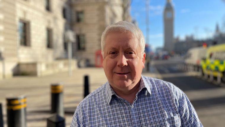
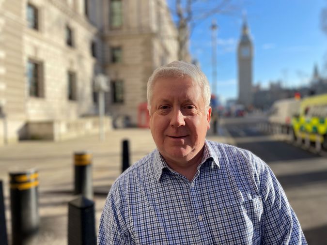
About Jamie McMichael-Phillips
A hydrographer and former naval officer, Jamie McMichael-Phillips has worked in many military and civilian leadership roles, including chairing IHO’s Worldwide ENC Database Working Group for over nine years. He is now director of The Nippon Foundation-GEBCO Seabed 2030 Project, a collaborative initiative to inspire complete ocean mapping by 2030.

Value staying current with hydrography?
Stay on the map with our expertly curated newsletters.
We provide educational insights, industry updates, and inspiring stories from the world of hydrography to help you learn, grow, and navigate your field with confidence. Don't miss out - subscribe today and ensure you're always informed, educated, and inspired by the latest in hydrographic technology and research.
Choose your newsletter(s)


