A Software Perspective
The Effect of Hydrography on Unmanned Systems
The field of hydrography is poised to make some substantial contributions to the unmanned systems community. The mantra of ‘making a map is easy, but doing hydrography is hard positions hydrographic practitioners favourably into the world of unmanned systems. Moreover, these technologies, once limited to defence and academia, are currently undergoing an expansion into the commercial realm. Not only has this increased the facility of using unmanned systems, it has also spawned innovative uses of these technologies and has blurred the lines between the traditional surveying community to the benefit of all.
By Vitad “V” Pradith, HYPACK, USA.
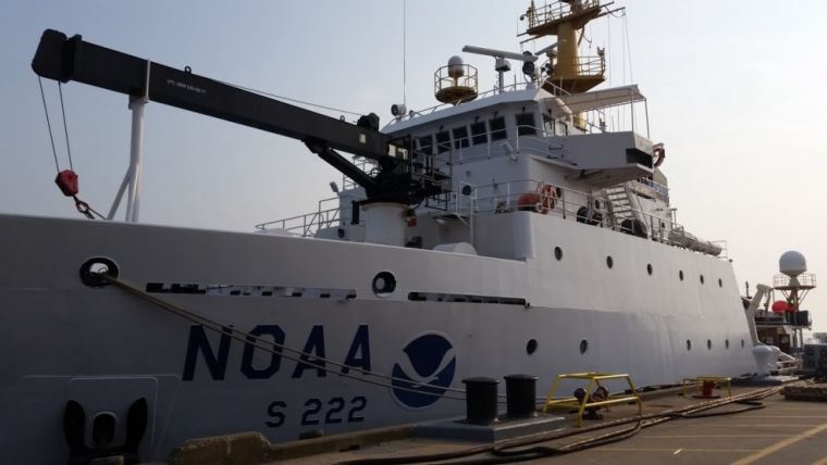
As the healthy debate continues with respect to robots replacing humans, we offer an alternative possibility, that is: any technological achievement born from unmanned technology is poised to yield a positive benefit to the manned world. However, to fully realise this vision, we must also be willing to redefine the meaning of what is considered unmanned and pivot our own perceptions. One such proposition can be exemplified by the NOAA Ship <i>Thomas Jefferson<i> whose approximately 64 metre reach would be traditionally characterised as a manned vessel. While a majority of the time is spent in this manner, the ship (and survey launches) leverage hydrographic software to communicate and engage the onboard autopilot to steer the platforms utilising a bevy of standardised protocols such XTE (Cross Track Error) messages.
The concept of coupling hydrographic software to an autopilot is not new, but defining this particular mode of operation as ’unmanned’ is. To reiterate this idea: any vessel equipped with an autopilot has the capability to become unmanned. The benefits to the manned community can likely be quantified in terms of increased operational safety, less work related injuries and better data quality. Leveraging this technology has the added benefit of increased situational awareness to the coxswain who can now focus their attention on the safe operation of the vessel. Additionally, the hydrographer benefits with improved data quality affording the ability to intelligently interrogate the raw samples into information.
Interestingly, enhancements to the traditional autopilot routines are a direct result of the application toward unmanned surface vessels (USV) and have increased the robustness of unmanned operations.
The innovations and adaptations of the technology to the unmanned industry have opened up new use cases and have spawned a new set of tools to aid the hydrographer such as streamlined mission planning.
Breaking Down Barriers
Unmanned technologies have also disrupted some of the in situ surveying practices and have bridged the gap between the traditional topographic and hydrographic surveying communities. Together, they are poised to tackle the problems such as assessing the condition of public infrastructure. Again, hydrographers are well positioned to provide their own expertise with respect to the maritime domain and technical savvy.
Facilitating the Unmanned Paradigm
With the increasing utilisation of unmanned systems into operations, this technology is being adopted to solve all sorts of problems and use cases. From a software design perspective, several tools are needed to facilitate success including command & control, situational awareness, data integrity & quality, all the while maintaining a human in the loop. Commercial entities should also be open to engaging the Open Source community who may present a novel solution to a problem.
Everyone benefits from the value added innovation driven by those who seek to advance the unmanned revolution. The hydrographic industry has also transcended its own boundaries into other applications because as any seasoned hydrographer knows, adapting to the changing environment is a perpetual constant.
Vitad ‘V’ Pradith manages the portfolio of unmanned systems for HYPACK and provides technology and developmental support to the mapping community. He is particularly interested in enabling technologies that provide real value to the hydrographer by increasing their safety and effectiveness.
Email: [email protected]

Value staying current with hydrography?
Stay on the map with our expertly curated newsletters.
We provide educational insights, industry updates, and inspiring stories from the world of hydrography to help you learn, grow, and navigate your field with confidence. Don't miss out - subscribe today and ensure you're always informed, educated, and inspired by the latest in hydrographic technology and research.
Choose your newsletter(s)


