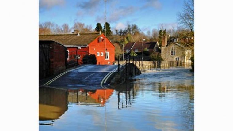
Bluesky Adds to Flood Risk Modelling Software
The latest aerial photography and detailed earth surface models from Bluesky are being used for demonstration in a software package developed to assess the risk and impact of flooding. To support the launch of ISIS 2D Halcrow has included some GeoPerspectives aerial photography and Digital Terrain Models (DTMs) from Bluesky, to enable users to evaluate the improved modelling functionality.
ISIS 2D is the latest addition to the ISIS by Halcrow suite of products. A fully hydrodynamic computational engine, it is designed to work either as a stand-alone tool or within the ISIS suite of products enabling dynamic integration between ISIS Professional and ISIS 2D. At the core of the software are two advanced algorithms that have been specifically designed to replicate different types of hydraulic conditions within rivers, estuaries and floodplains. ISIS 2D is available for free and can be downloaded from www.halcrow.com/isis, and has all of the same features as the full version but is limited to 2,500 2D cells.
Bluesky has supplied Halcrow with GeoPerspectives aerial photography for test sites including river, coastal and dam break flooding. The photogrammetrically derived Digital Terrain Model supplied by Bluesky is also part of the GeoPerspectives range, offering a resolution of 5 metres the data is accurate to 1 metre and is available off the shelf for the whole of England and Wales. Both products can viewed and purchased online at www.bluesky-world.com.
GeoPerspectives is a joint venture between Bluesky and Infoterra providing national coverage of orthorectified aerial photography, digital terrain and surface models (DTM/DSM) for 3D modelling, and colour infrared imagery (CIR) for vegetation analysis.


