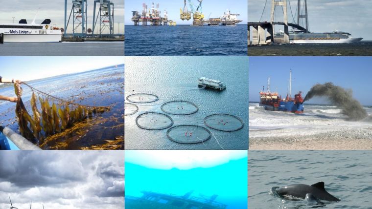
Depth Data: Measure Once, Use Many Times
Over the last decade the focus of the IHO has widened from the production and distribution of nautical charts and services to the provision of hydrographic data for other activities in the seas and oceans. This follows a similar trend in national land mapping agencies, where the focus has moved from specialised national mapping to the provision of geodata in the national interest.
IHO Resolution
At the first session of the IHO Assembly in April this year, the IHO Member States approved a Resolution setting out principles for ensuring the widest possible availability of bathymetric data to support the sustainable development, management and governance of the marine environment. The Resolution emphasises that more data is required and goes on to encourage data collection methods that are not specifically targeted to chart improvement programmes, including crowdsourcing, satellite-derived bathymetry and the re-processing of or access to scientific and other data previously collected for purposes other than charting.
Crowdsourced Bathymetry
Taking into account the lack of depth data for most of the world’s seas, oceans and coastal waters, the IHO established a Crowdsourced Bathymetry Working Group in 2015 to provide guidelines on how crowdsourced bathymetry might be collected, its quality maximised, and then made available for use as appropriate. The working group has completed a draft guidance document which is now available for public comment. It is expected to be finalised and approved by the IHO in 2018.
IHO DCDB
The IHO’s Data Centre for Digital Bathymetry (DCDB) was established in 1990 to steward the worldwide collection of bathymetric data, and is funded and supported by the USA as part of the world database system. It is currently undergoing progressive upgrades to its web-based portal to provide better data discovery, and upload and download capabilities. It is also preparing to be the principal portal for IHO’s crowdsourced bathymetry project.
MSDIWG
Aware of the growing development of spatial data infrastructure for land-based geodata, the IHO established a working group to consider Marine Spatial Data Infrastructures in 2007. In particular, the MSDIWG was instructed to provide guidance to Hydrographic Offices on how to contribute their valuable base data in support of such things as national infrastructure development, marine spatial planning and natural disaster mitigation. A second edition of its guidance document (IHO publication C-17) is expected to be approved later this year.
GEBCO
Meanwhile, the GEBCO (General Bathymetric Chart of the Ocean) project, co-sponsored by the IHO and the Intergovernmental Oceanographic Commission (IOC) of UNESCO, undertook a review of its progress in providing the world’s open source, authoritative bathymetric mapping dataset. It concluded, at its Forum for Future Ocean Floor Mapping, in June 2016, that considerably more efforts were required. As a result, its aim is to map every significant undersea feature by 2030. This aim will be assisted by further generous support announced recently by the Nippon Foundation as Project Seabed 2030.
UN-GGIM
A further signal of the growing acknowledgement of the importance of marine geospatial information for purposes other than charting, is the very recent establishment by the UN Committee of Experts on Global Geospatial Information Management (UN-GGIM) of a Working Group on Marine Geospatial Information. The IHO has been specifically invited as a permanent observer organisation in the working group, which aims, through the UN-GGIM, to provide truly global policy guidance on geospatial information - for the first time, joining land and marine geospatial information policy together from an inter-governmental and UN perspective.
All IHO documents and draft documents are available free of charge for download from the IHO website: www.iho.int.

Value staying current with hydrography?
Stay on the map with our expertly curated newsletters.
We provide educational insights, industry updates, and inspiring stories from the world of hydrography to help you learn, grow, and navigate your field with confidence. Don't miss out - subscribe today and ensure you're always informed, educated, and inspired by the latest in hydrographic technology and research.
Choose your newsletter(s)


