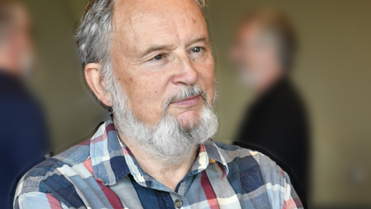
Dr. Gary Borstad Receives Val Shaw Memorial Award
ASL's Dr. Gary Borstad recently received the Val Shaw Memorial Award in recognition of his career-long contribution and lifetime achievements in practical remote sensing applied to natural resource management. This award was presented at the 40th Canadian Symposium on Remote Sensing in Fredericton, New Brunswick on June 25th, 2019. The Val Shaw Award was established in 1990 in memory of Val Shaw, an executive with the Bercha Group and a strong proponent of remote sensing in Canada.
Remote Sensing
Gary was educated at the Universities of Alberta, Paris, and McGill and has been active in remote sensing since 1975. With his partner, Lorraine, he founded Borstad Associates Ltd. in 1983 to provide remote sensing data acquisition and analysis internationally. In 2009, Borstad Associates merged with ASL Environmental Sciences Inc. to provide expanded capabilities. He is now retired (mostly).
Hyperspectral Sensors and Applications
In his 40-year career, Dr. Borstad worked with all types of remote sensing data but has played an important national and international role in the development of hyperspectral sensors and applications. He began using an airborne spectrometer in 1978 to map solar-stimulated fluorescence from phytoplankton with Dr. Jim Gower at Fisheries and Oceans Canada. He and the Borstad team later helped design and develop the Compact Airborne Spectrographic Imager and have since worked with six generations of imaging spectrometers.
Marine Mammal Surveys
Dr. Borstad’s work began with marine, fisheries and ecological applications but has also included vessel detection, ice, forestry, agriculture, mining, military and security applications with many advanced sensors. Under his leadership, Borstad Associates built its own high-resolution imager for marine mammal surveys and rebuilt the CCRS SWIR Full-Spectrum Imager (SFSI) for operational mineral exploration campaigns. More recently, he has led many climate and change detection studies.
Airborne Remote Sensing Missions
Gary served as Adjunct Professor and graduate student supervisor at several universities and has taught many advanced international remote sensing training courses. He led more than 300 research projects in 40 countries, flew over 80,000 km in airborne remote sensing missions on five continents and wrote or co-authored nearly 50 refereed primary publications, more than 120 symposium papers, and 250 technical reports.
Photo credit: Kevin Murnaghan


