Fugro Commences Mareano Survey for Norwegian Hydrographic Service
Fugro has commenced a hydrographic survey encompassing an area of Norwegian waters of approximately 15,000 square kilometres. The survey is part of the MAREANO programme, for which Fugro has successfully completed a number of surveys since 2006. The Norwegian programme maps depth and topography, sediment composition, contaminants, biotopes and habitats. It is taking place in the Barents Sea with various areas located above the 78th parallel and typical water depths ranging from 80 to 3,500 metres.
The main workscope comprises the collection of high resolution and density multibeam echo sounder data meeting standards set by the International Hydrographic Organisation. To help improve the knowledge base of the ecosystem, Fugro will acquire a range of data including bathymetry, backscatter and water column imaging, together with sub-bottom and gravimetry data.
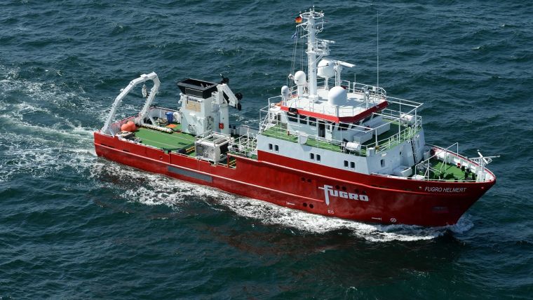
Survey vessel MV Fugro Helmert has been mobilised for the survey, which is scheduled to be completed in September 2017, with a second survey vessel to be added during the project. Quality controlled datasets will be delivered at the end of November 2017.
Awarded by the Norwegian Hydrographic Service, the contract value is 34.5 million NOK (approximately EUR3.8 million).


