Hydrographic Society Benelux
Members of the Hydrographic Society Benelux (HSB) and the Deutsche Hydrographische Gesellschaft (DHyG) travelled to the island of Terschelling for a two-day workshop packed with presentations on the profession, standards and of course local surveying as the ever-moving seafloor of the Wadden Sea has been the subject of research.
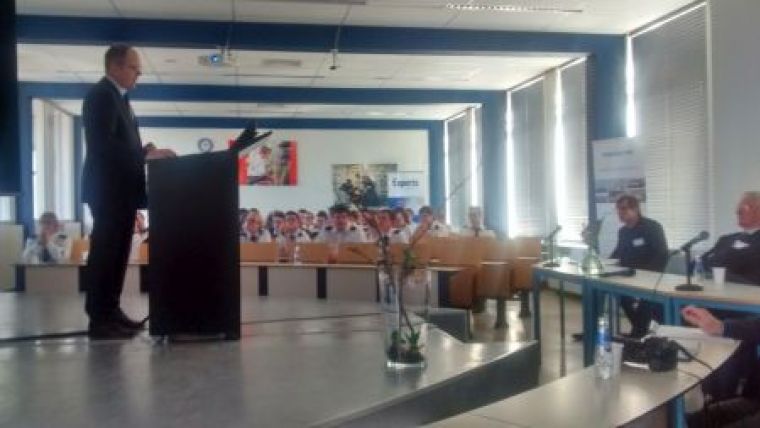
The 50 Dutch delegates and around 40 from Germany gathered at the Nautical Institute Willem Barentz in West Terschelling, where they were welcomed with coffee, tea and the local Oranjekoek. After opening speeches by Mr G. van Leunen (Marine Institute Willem Barentz), Rob van Ree (organiser) and Holger Klindt (chairman of the DHyG) pitches were held by Captain Marc van der Donck, Dutch Hydrographer; Thomas Dehling, head of the Surveying division of the BSH; Peter Gimpel, director Survey Sytems, L3 Elac Nautik; Ben van Scherpenzeel, director Nautical Developments, Policy and Plans of the Port of Rotterdam; Mr K. Verbeke, head of Survey Division, DEME; Aris Lubbes, chief scientist, Fugro offshore Survey Division; and Michiel van der Munt, head of Survey Division, Allseas. After the presentation of the survey on employment at hydrographic survey companies – which showed an increase in the demand for hydrographic personnel – these speakers were engaged in a forum discussion where the presenters explored the boundaries of technical developments, the options for education and the presentation of hydrographic information in, for example, an ECDIS system.
All delegates were then offered drinks before taking buses to diner in a beach restaurant, where they had the opportunity to meet informally with colleagues from the other country.
The second day was dedicated to technical presentations. Ernst Lofvers of Rijkswaterstaat presented the survey of the inlet between the islands of Vlieland and Terschelling and the consequences that the moving seafloor has for shipping, including the ferry route. His presentation was followed by one by Therese Maierhofer from Austria who conducted multibeam observations of sand ripple transport near Texel. F. Steinbacher covered a subject that had already been discussed in the first presentation earlier in the morning; digging into the application of laser altimetry and bathymetry in the Wadden Sea, followed by Sicco Kamminga of Nortek explaining what could be derived of currents from radar observations. Christiaan Maushake added a methodological presentation on boundary conditions for numerical modelling of the German Bight before Herman Peeters dug into hydraulic boundary conditions and a measurement campaign the organisation conducts in the Wadden Sea. The main goal is to predict storm surges in time to be able to take protective action, like closing barriers. Firmijn Zijl of Deltares showed current modelling related to drying out shoals. After a final demonstration of oil spill modelling using the open source application GNOME by a 4th year student, it was time to conclude the successful event and to return to the ferry.

Value staying current with hydrography?
Stay on the map with our expertly curated newsletters.
We provide educational insights, industry updates, and inspiring stories from the world of hydrography to help you learn, grow, and navigate your field with confidence. Don't miss out - subscribe today and ensure you're always informed, educated, and inspired by the latest in hydrographic technology and research.
Choose your newsletter(s)


