Partnership to Improve Interoperability with CSAR Framework
Safe Software and CARIS, Canada, have announced that support for the CARIS Spatial Archive (CSAR) raster format for gridded bathymetry and elevation data will be included in FME 2014, which is already available in the beta and scheduled for official release in January 2014.
FME users will have direct access to the data storage technology designed by CARIS for efficient storage and visualisation of high-volume raster data. FME 2014 can now read and write CSAR raster files, and can also read raster data directly from CARIS Bathy Database (BDB), allowing CSAR rasters to be transformed and manipulated in FME workflows.
The inclusion of CSAR raster support in FME allows high-density bathymetric surfaces to move easily between different formats and GIS systems. It will provide users of CARIS software with a huge number of integration and data transformation possibilities.
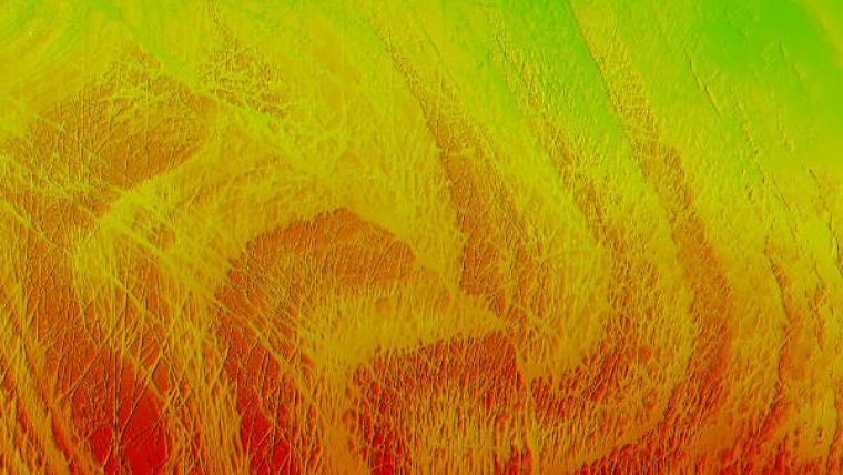
Image: High-resolution bathymetry displayed in CSAR format of the major faults north of Chirikof Island. Image courtesy: NOAA.


