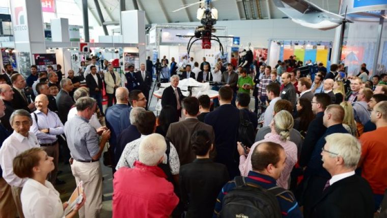
RIEGL Presents BathyCopter at Intergeo 2015
On the first day of Intergeo, RIEGL, Austria, showcased its latest development in UAS-based laser scanning: the RIEGL BathyCopter. This is a small-UAV-based surveying system capable of measuring through the water surface, ideally suited for generating profiles of rivers or water reservoirs. The robust and reliable platform design integrates the topo-bathymetric green laser depth-meter, an IMU/GNSS unit with antenna, a control unit and a digital camera.
Additional news from the airborne side: RIEGL announced the introduction of the VQ-880-G Topo-Bathymetric Airborne Laser Scanning System now equipped with an optional infrared channel to supplement the data acquired by the green laser and to further increase data reliability and quality.
In addition to all of the new hardware announcements, RIEGL also presented new software, including the new RIEGL Database (RDB) Format 2.0 offering one Level of Detail (LOD), additional point attributes, metadata information, and SDK for 3rd party support. RIEGL’s software package RiSCAN PRO 2.2 already supports the new RDB 2.0 format for improved visualisation and full attribute support. For ALS and MLS the streamlined algorithm of RiWORLD 5.0 processes files 60% faster and when combined with the new RiPROCESS, improves performance by up to 300%.
Image: Dr. Riegl, CEO, unveiling the new RIEGL BathyCopter at the RIEGL Intergeo booth in Stuttgart, Germany.


