Seabed 2030 Needs Your Data
On 20 February this year, the Nippon Foundation-GEBCO Seabed 2030 project became operational. Its task: to finish mapping the 84% of our oceans still unmapped. Simultaneously an 18-page concept paper was published laying out the morphological statistics, technological realities and data assembly structure that can ensure success. Bathymetric input from HOs is urgently requested.
In the two years since F-FOFM basically formulated Seabed 2030, amazing progress has been made. Companies like Fugro are making swath mapping transit tracks through unmapped areas available (viz. GEBCO's slogan 'Map the Gaps'), and encouraging clients to contribute decimated grids from their proprietary datasets. Others like Ocean Infinity are pioneering swath mapping by multiple AUVs and ASVs. Countries have also made national and regional mapping compilations available, viz. EMODnet, Baltic Sea, Gulf of Mexico-BOEM, Bering Sea Fisheries, Great Barrier Reef, MH370 search area.
At present, some 700 multibeam equipped ships are at work acquiring new data. Aware of the 'Map once, use many times' slogan, they are acknowledging the need to get their data into Seabed 2030's growing global compilation.
For the deeper areas (200-11,000m), where national and proprietary pressures are minimal, completion of the task by 2030 appears possible (viz. 348 years work for one vessel). For the shallower areas (<200m ), 619 years work for one vessel is estimated. Due to the propensities of the world's 155 coastal states, this is problematic. For many of these shallow areas, there is a very large volume of sequestered proprietary data (viz. SHOM's 75,000 analog field sheets). Soundings released on charts in ECDIS or ENCs probably represent only around 1% or less of holdings, and are likely shoal-biased.
I experienced the value of these legacy fairsheets during my years working on IBCM. The UK Hydrographic Office provided me with copies of the post-World War I surveys of Egypt, Palestine and Cyprus. Digitisation of some 35 fairsheets around now-divided Cyprus, done in the 1930s and 1950s, yielded 183,000 soundings for the continental shelf. A simple 25m TIN interpolation produced a good representation of the numerous canyons on the island's narrow shelf.
With time, it is likely that following UNCLOS's Article 76 determinations, up to 84 countries' extended continental shelf (ECS) datasets might be contributed, potentially accounting for over 30 million km², or 1/12th of the Earth's total saline waters. Hopefully, preparation of these submissions will have also involved a bathymetric compilation of the shallows.
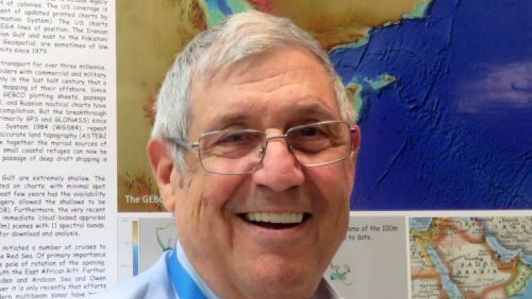
My own contribution is preparation of a 100m grid for the seas around Arabia; Red, Arabian and Oman Seas, Persian Gulf and Indian Ocean to 10°S. Some 600 Russian, British, American, Omani, Iranian and Saudi charts provide spot soundings, and hydrographic contours that, while far short of swath mapping, do produce a far superior view of the seafloor than what already exists. As these areas include large areas of clear shallow waters, my MSc student Shahar Levenson has been using my digitised shallow soundings and 2 and 5m contours to extract shallow bathymetry using LANDSAT 8 imagery from EOS Land Imager's cloud-based website. Discussions are ongoing about developing schemes for presenting the shallowest depths for a scene and then receiving the satellite derived bathymetry (SDB). While deepwater soundings barely specify depth for a 30" grid, they add significantly to the SID values calibrating the satellite altimetry, especially for future altimetry from lower satellites with non-repeating orbits.

Value staying current with hydrography?
Stay on the map with our expertly curated newsletters.
We provide educational insights, industry updates, and inspiring stories from the world of hydrography to help you learn, grow, and navigate your field with confidence. Don't miss out - subscribe today and ensure you're always informed, educated, and inspired by the latest in hydrographic technology and research.
Choose your newsletter(s)


