Societies News
Hydrographic Society Benelux
The Europort 2009 exhibition was held in Rotterdam from 3rd to 6th November 2009. Coinciding with this exhibition aimed at the shipping industry there were several other events such as the CEDA Days and an international workshop organised by The Hydrographic Society Benelux (HSB). The HSB's workshop theme ‘Reality and future in underwater imagination', was linked to the theme of the exhibition ‘Advanced Technology: Imagination becoming reality'. As many exhibitors were directly interested in hydrography, for example, positioning, underwater acoustics, and ROV's, the workshop was very well attended.
Mr. Karstein Vestgård, vice president Autonomous Underwater Vehicles (AUV) projects of Kongsberg Maritime Norway gave a presentation on: ‘The benefit and challenges in sensor imagination using an AUV platform'. He elaborated on HISAS (high-resolution interferometric synthetic aperture sonar), illustrated with impressive results, which is also used for mine counter measures by the military.
Mr Willem Fontein of Stema Systems (The Netherlands) discussed several topics in his presentation ‘Images beyond Imagination?' He elaborated on the fifth generation of multi-beam echo sounders with their broadband signal processing capabilities and having an increased signal to noise ratio. He also discussed single-beam & LF sub-bottom profiling, which he illustrated with figures showing high-resolution seismic cross sections of the shallow subsurface. His last topic was 'Tuning fork & fluid mud measurements' in which he mentioned the advantages, showing examples of a detailed vertical variation in fluid muds without compromising in measurement speed, where mud density and strength of the mud are assessed. Finally, he questioned the actual use of these new developments; data and images that would have been unimaginable five years.
Mrs Mirjam Snellen presented ‘Recent developments in multi-beam echo sounder processing at the Delft University of Technology (DUT)'. She explained a method developed by DUT that estimates both the correct bathymetry and the prevailing sound speeds from the MBES measurements by searching for those sound speed profiles that minimise the differences in water depths along overlapping parts of adjacent swathes. The method was demonstrated by applying the method to a MBES dataset in a very challenging area (a river estuary with changing fresh and salt water layers).
Her second topic was sediment classification using MBES. Results on application of a model-based classification method that employs the MBES backscatter data and optimally discriminates between sediments was shown. The method has been applied for classification of sediments in different areas such as the North Sea and a river.
The last presentation, ‘Multi-beam Echo sounders (MBES) not only for bathymetry', was given by Mr Simon Barchard of Reson, Denmark. He showed, using examples, methods and experiences of other MBES uses. Examples included MBES in survey configuration (bottom looking) used for bottom classification and the results of detection of sunken heavy oil by MBES. Also an insight was given into the testing of this method in a very large test tank. MBES in a forward-looking configuration showed its application in waterside security (example. harbour protection). Mr Barchard also showed how MBES can be used in leakage detection. Firstly, by showing tests in a tank, and then also showing impressive images made by a ROV fitted with, among other, MBES and locating a frightening leak near an exploration platform.
A discussion between participants and audience on future requirements and developments was cut short as the drinks, kindly sponsored by Kongsberg, Reson and Stema, were waiting.
By Leeke van der Poel, chairman Hydrographic Society Benelux
Hydrographic Society Russia
Hydrography With Love
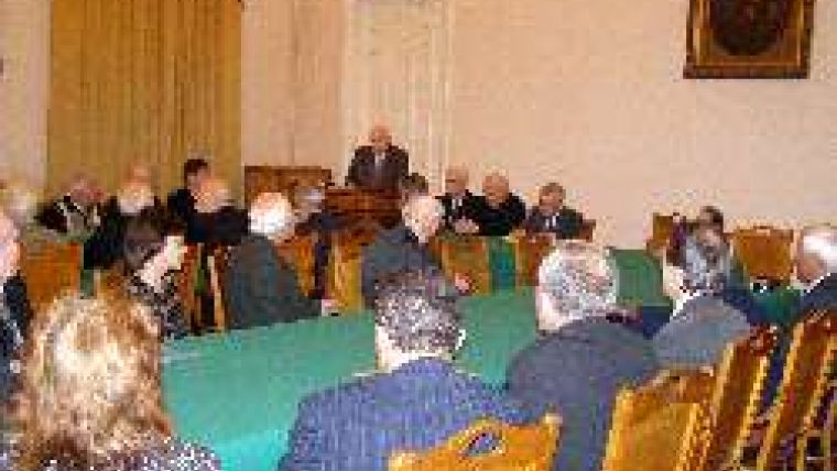
The Honorary HSR Member Rear-Admiral (retd.) Alexander Sorokin presented his book Works on hydrography and adjacent sciences , during a joint session of the HSR and St.Petersburg Society of Geodesy and Cartography.
The presentation took place on 22 October, 2009 in the hall of the Russian geographical society.
This book (with more than 400 pages) differs from many other books on hydrography in that a quarter of it represents memoirs of the life, service and work of the author, in Soviet hydrography and then later in the Russian hydrography. It covers the period 1946 until the present.
The session participants listened to the presentation attentively and with respect. During the discussion, Admiral (retd). A.Komaritsyn, Dr. N.Gruzdev and Captain 1st rank (retd.) B.Popov applauded the works of the author, in particular the development of hydrography in both scientific and practical aspects. During the informal part of the presentation that followed, participants expressed their wishes to A.I.Sorokin that he continue his work and also that he supplement the section on memoirs as it is of interest not only to many hydrographers but to many others too.
Use of Sonar in the Gulf of Finland
On 12 November, 2009 another scientific and technical seminar by the St.Petersburg Society of Geodesy and Cartography took place in the building of the Russian Geographical Society. Theme of a seminar was ‘The New approach to inspection of a bottom and co-ordination of underwater objects by sonar'.
As the theme of the seminar dealt with research of a bottom and search of underwater objects, the HSR members also took part.
The general director of Baltengeneering Ltd, Vitaly V. Frolov, gave a presentation on the work carried out by his company in the Gulf of Finland, near ports, at moorings, and on a line to a lining of a gas main.
It is known that the bottom of the Gulf of Finland is littered with explosives, anthropogenic materials and other dangerous objects as a result of military events of the 20th century. The purpose of the work was to reveal and remove such objects.
Specialists from the company came to the conclusion that the most effective method of carrying out such work is by first inspecting the area by sonar. This reveals the dangerous objects and their coordinates can be determined. Then divers can remove the sighted objects, followed by a final inspection, again by sonar.
The company experts believe that this method is more economical and saves time.
There was a lively discussion, with the seminar participants sharing their opinions and asking questions.

Value staying current with hydrography?
Stay on the map with our expertly curated newsletters.
We provide educational insights, industry updates, and inspiring stories from the world of hydrography to help you learn, grow, and navigate your field with confidence. Don't miss out - subscribe today and ensure you're always informed, educated, and inspired by the latest in hydrographic technology and research.
Choose your newsletter(s)


