UKHO Announces Release of Seabed Mapping Service
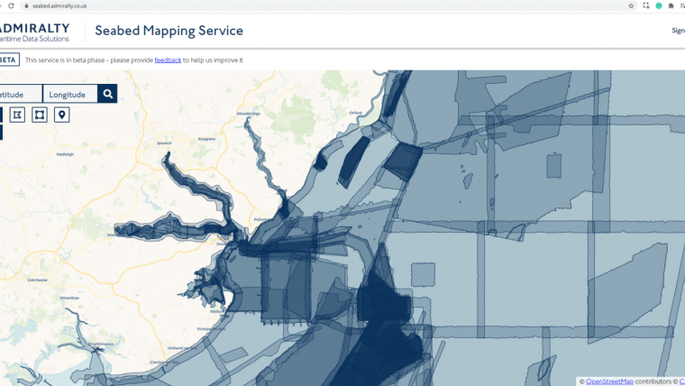
The UK Hydrographic Office (UKHO) has launched a new beta version of its Seabed Mapping Service, now available via the ADMIRALTY Marine Data Portal.
The ADMIRALTY Marine Data Portal is the UKHO’s portal for a wide range of marine data sets ranging from the seabed to the coast, offshore and beyond. This includes extensive data on bathymetry, wrecks and obstructions, along with a range of apps and APIs, to enable users to help inform a wide range of decisions to support a safe, secure and thriving future for the blue economy.
The Seabed Mapping Service provides access to data that has been collated, processed and validated by UKHO experts. The service has been developed using agile project management principles and launched as a beta service, meaning that the service will be continually tested and improved, ensuring it fulfils user needs.
As a beta service, it is fully available to use; however, we invite users to submit feedback about the service’s usability and suitability to meet their needs. This feedback will form part an iterative approach and enable us to align the service closer to the user needs, to support a more seamless user journey.
Detailed Seabed Information
Commenting on the launch of the beta Seabed Mapping Service, UKHO product manager Paul Marks said: “At the UKHO, we pride ourselves on helping meet the evolving needs of existing customers as well as users in new markets. We encourage feedback and input from users on our Seabed Mapping Service. Through this, we will help people make better use of the marine environment and our blue economy through sustainable decision-making based on detailed seabed information.”
The UKHO is a member of the Marine Environmental Data and Information Network (MEDIN), a partnership of UK organizations committed to improving access to UK marine data. In addition to the beta Seabed Mapping Data Service, which provides bespoke data sets, users can also explore and download the extensive UK bathymetry holdings within the MEDIN accredited archive and download bathymetry data that is freely available under an Open Government Licence.


