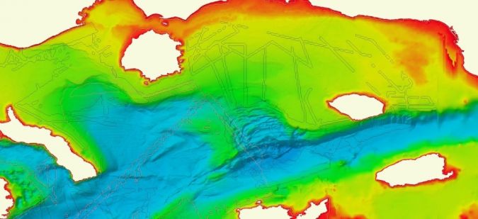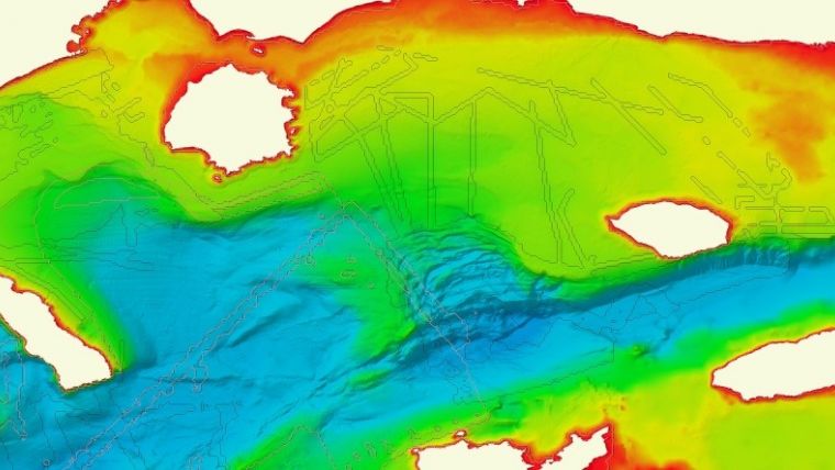
Upgraded Version of EMODnet Bathymetry Digital Terrain Model Launched
EMODnet Bathymetry, an initiative of the European Commission, has announced on behalf of the full consortium with all associated collaborators the release of the latest version of the EMODnet Bathymetry Digital Terrain Model (DTM). With over 33,000 individual tiles downloaded in 2020, this bathymetric product is already widely used in a whole range of applications, from marine science to sustainable ocean governance and blue economy activities.
This new EMODnet Bathymetry product benefited from significant developments and expert inputs in 2020, including new data gathering, reprocessed data, thorough selection of the best data source and use of innovative bathymetric sensors (such as Satellite Derived Bathymetry). It allows users to visualize bathymetric features with greater detail, in addition to providing a powerful 3D visualization functionality covering all European seas, into the Arctic and Barents Sea, and greater accuracy along European coastlines, thanks to the integration of both in-water and satellite datasets. It is available free of charge for viewing and downloading and for sharing by OGC web services from the EMODnet Bathymetry portal.
Real-life Settings
This improved DTM provides users with even greater resolution and coverage of bathymetry across European seas and beyond. These updates contribute to further reducing uncertainty, and are used in real-life settings such as improving society’s ability to forecast storm surges, lowering the risks of damage to coastal and offshore installations and increasing public safety. EMODnet Bathymetry is often described as the go-to place for oceanographers in providing a base geometry for hydrodynamic models, for marine geologists studying morphological processes, and for biologists and conservation managers who require trusted and high-quality seabed habitat maps, which rely on accurate and high-resolution bathymetry, amongst other parameters. EMODnet Bathymetry also supports a wide range of marine and maritime activities, including the blue economy, from the marine dredging sector to the planning of pipeline trajectories, locations of offshore wind farms and planning of harbour extensions.
For more information, see here.