USGS Selects Woolpert for Topographic Lidar Task Order in Hawaii
The US Geological Survey has awarded Woolpert a task order under its Geospatial Product and Service Contract 3 to acquire Quality Level 1 topographic Lidar data in Hawaii. The task order applies to Oahu, the four islands in Maui County and portions of the Big Island of Hawaii. It is funded by the USGS, with interagency cooperation from the National Oceanic and Atmospheric Administration’s Office for Coastal Management. The Natural Resources Conservation Service, the Federal Emergency Management Agency and the State of Hawaii, Office of Planning, also contributed to the task order and will be end users of the data.
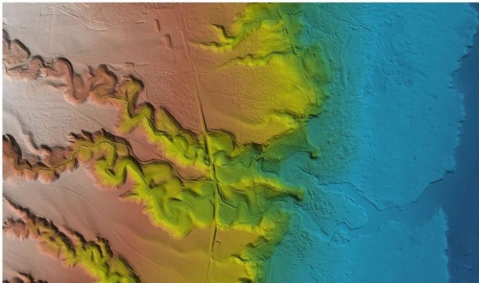
This is Woolpert’s third task order to collect QL1 Lidar data in Hawaii as part of the GPSC 3 contract. The firm has acquired a combination of approximately 6,600 square miles of topographic and 125 square miles of bathymetric Lidar data encompassing the state’s eight main islands as part of a systematic plan to produce Hawaii’s first statewide, high-resolution elevation dataset.
The elevation data collected will be made public and used for a broad range of applications, including coastal zone management and resilience, flood-risk management, infrastructure and construction management, forest resource management, wildlife and habitat management, invasive species mitigation and change detection due to volcanic activity.
Bathymetric and Topographic Lidar
For this most recent task order, Woolpert is employing its Leica Chiroptera 4X bathymetric and topographic Lidar sensor to enhance the quality of the deliverable. Woolpert vice president and maritime market director John Gerhard said the firm realized the benefits of utilizing the bathymetric laser over land during its previous Hawaii task order.
“The bathy channel is able to penetrate Hawaii’s dense vegetation to complement the data collected via the sensor’s topo channel. This bathy channel improves our vegetation penetration and provides additional bare-earth data for a comprehensive, highly accurate product,” Gerhard said. “The Chiroptera sensor also operates at a lower altitude, which enables us to fly below the clouds while providing better data coverage of the islands. With Hawaii’s challenging climate and terrain, this approach will best support the vital needs of the USGS.”
The Lidar data acquisition is now underway, with a data deliverable review by USGS expected to begin in the fall.