What is the Physical Oceanographic Real-Time System?
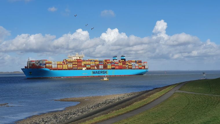
Imagine you’re a port pilot, responsible for the safe passage of a cargo ship that’s about the same size as an aircraft carrier. It’s the middle of the night, it’s windy and you’re contending with large waves and an outgoing tide. A stressful scenario to be sure, but happily you have the benefit of a real-time information system that gives you details about water levels, currents, salinity and weather to help you guide your vessel. That system is known as PORTS, the Physical Oceanographic Real-Time System.
Maritime Accidents
The concept for PORTS was born following two serious maritime accidents in Tampa Bay, Florida. In May 1980, gale-force winds blew the freighter Summit Venture out of the Port of Tampa shipping channel. The ship struck the Sunshine Skyway Bridge, sending a 1,200-foot span into the bay, along with six cars, a truck and a Greyhound bus, killing 35 people. Earlier that same year, the US Coast Guard Cutter Blackthorn collided with an oil tanker in the shipping channel, causing 23 deaths.
It was evident that something needed to be done to improve the safe movement of vessels in Tampa Bay. So, a joint venture with NOAA, the University of South Florida and the Greater Tampa Bay Marine Advisory Council created PORTS, to bring real-time environmental observations, forecasts and other geospatial information to mariners when they need it the most.
US Seaports with PORTS Installations
Now, after nearly 30 years of service, the Tampa Bay PORTS, the first in the network, is getting an upgrade. NOAA and its local partners have installed a new advanced current meter to help mariners combat strong currents in the main ship channel entering Tampa Bay, the new Iridium ATON Buoy Mounted Current Meter System. It has significant cost reduction and performance improvements over other buoy-mounted current meters and removes the need for a shore-based data collection platform.
With vessels calling at Port Tampa Bay getting larger, NOAA and its partners also installed an air gap sensor on the bridge. Air gap sensors measure the distance between the lowest point of a bridge and the water’s surface to help ships avoid collisions.
More than 95% of all US trade involves some form of maritime transport, and ships move US$1.4 trillion worth of products in and out of US seaports every year. The PORTS network is key to the nation’s ocean economy – and to its maritime safety – allowing freight companies to both maximize their cargo and safely navigate increasingly congested seaports and shipping lanes.
(Source: NOAA)


