Workshop ‘Measuring Methods in Harbours with Silt’
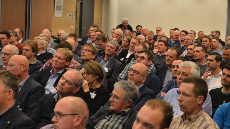
The Hydrographic Society Benelux regularly meets up with the CEDA. They also met up on 31 January 2017 at the inspiring headquarters of Boskalis in Papendrecht, the Netherlands. On arrival, the office was surrounded by dredging vessels – creating a perfect environment for the lectures updating the 160 participants on measuring techniques in harbours with silt.
During the reception, the guests were ninvited to join the dinner buffet. This was greatly appreciated and brought the marine professionals in contact with each other.. However, the main part of the evening consisted of presentations on how best to manage ‘navigable mud’ or how deep should the seafloor be to accommodate vessels?
After welcoming words by Johan Pennekamp (CEDA) and chair of the day IJves Wesselman (Boskalis), Willem Snoek, Asset manager Hydrografie, Port of Rotterdam, introduced the audience to the way they are dealing with silt – an infinite job as he called it. Due to the tide and salinity of the water there is a regular programme of survey and dredging to keep the navigable bottom fit for the vessels calling into the harbour.
His presentation was followed by a talk by Leendert Bourgonjen, project manager & manager of the Dredging & Surveying Unit at Groningen Seaports NV who shared the results of trials of sailing through silt and reporting the effect of the stream caused by the tides and various levels of navigable silt and the ‘sailability’ of the channel floor accessing the harbour.
Styn Claeys, head of Instrumentation and Technology at the WL HIC presented the findings of research on sediments and nautical aspects showing that the terms ‘nautical depth’ and ‘safe navigation’ are inseparable and the consequences this should have on dredging programmes in harbours with silt.
Coen Werner, senior geologist and R&D manager at Stema Systems concluded the line-up updating everyone about the application of seismic technology to determine the nautical seafloor and object detection. He gave examples of pipelines and cables, but also the detection of boulders.
The last item of the programme was the social where the professionals took the opportunity to exchange their experiences and do a bit of networking.

Value staying current with hydrography?
Stay on the map with our expertly curated newsletters.
We provide educational insights, industry updates, and inspiring stories from the world of hydrography to help you learn, grow, and navigate your field with confidence. Don't miss out - subscribe today and ensure you're always informed, educated, and inspired by the latest in hydrographic technology and research.
Choose your newsletter(s)


