Surveying beyond navigation
Hydro International interviews RDML Evans of NOAA
Hydro International interviewed RDML Benjamin Evans, director of NOAA’s Office of Coast Survey. Evans is responsible for overseeing the mapping and charting of all US coastal waters, as well as representing the US in international hydrographic activities. Evans talked to Hydro International about staff shortages, challenges in surveying remote parts of the US and deploying new technology: “The sheer scale of the task before us to survey US waters to modern standards is absolutely enormous. The US EEZ is almost four million square miles and we have mapped approximately half of that to modern standards, so we have a long way to go.”
NOAA has a big plan for surveying season 2023. Can you highlight one of the projects?
“It’s difficult to pick a favourite from our 2023 plan, but I can certainly tell you about a project that is really critical. One of our ships is currently operating in the Galveston area and we have contractors lined up to work around the Gulf of Mexico. The Gulf makes for a tremendous amount of commerce flowing in and out of the United States, and ensuring maritime transport flows smoothly and efficiently is absolutely top priority for us. We have found that a blended approach using government and contracted assets is highly effective and efficient. This is one example of an area where our survey work is ensuring that the nautical chart products accurately reflect conditions on the seafloor, and in doing so support the uninhibited flow of maritime commerce.”
Are there other projects you want to highlight?
“We have a great deal of work going on in Alaska, in particular south-east Alaska where there’s a great deal of passenger and commercial traffic. We are also continuing to expand our work in under-surveyed areas such as the Bering Sea. Again, we are employing a blended model of in-house resources and contractors.”
For quite some time, surveying hasn’t been just for nautical charting to ensure safe navigation. How does that influence NOAA’s work?
“We’re expanding our efforts to support other NOAA missions beyond navigation. For example, we expect significant sea-level rise caused by climate change in the future. NOAA’s 2022 Sea Level Rise Technical Report predicts that, on average, seas will rise around US coasts by 0.25–0.30m over the next 30 years. Understanding where all that water is going to go, if you layer onto that storm surge and high tide flooding, and how those incoming waters are going to interact with downstream waters from our freshwater system, requires that we know the shape of the seafloor and of our estuaries. This year, we’re dedicating resources to additional survey work in estuary waters which, unfortunately, we were unable to focus on over the last 30 or so years due to our focus on supporting navigation.”
Can you name other examples of surveying beyond supporting navigation?
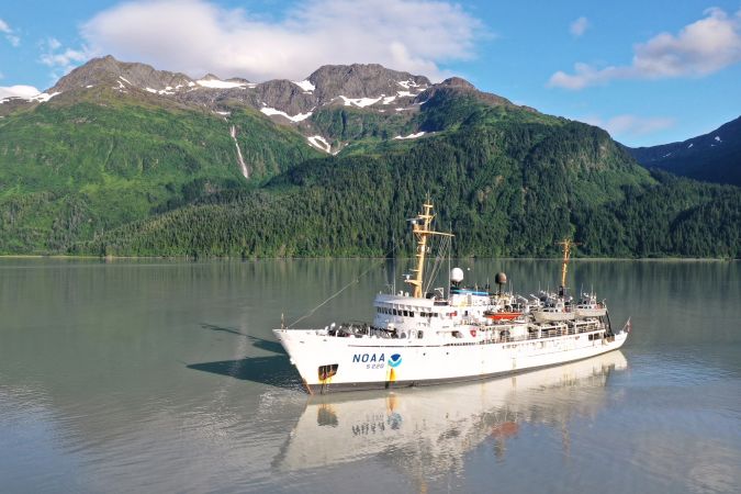
“One other example worth mentioning is the RICHARD project in American Samoa, where we have deployed the NOAA Ship Rainier – one of our most capable survey vessels – for a second year, supporting a really unique combined mission named in honour of my predecessor, Rear Admiral Rick Brennan. The mission combines coral reef research conducted by scuba divers with the mapping mission of the Rainier. We upgraded the sonar system on the Rainier to a 30 kilohertz multibeam system, which will extend the depth range. The diving mission is informed in real time by the ship’s surveying mission.”
A critical success factor is finding enough people to serve onboard or ashore. How is that going for NOAA?
“Our workforce is a huge focus for us: people to work in the field and also people to do the work in the office. There’s a widespread personnel shortage in the United States: the merchant marine fleets, the Navy, the Coast Guard, all of these institutions are struggling to recruit and retain enough professional mariners, technicians or hydrographers. This also applies to our ships and contractors’ vessels. However, our mission and the NOAA mission in general, whether it’s executed by our private sector partners or by our in-house fleet, may have an advantage, because what we do is cool. We go to neat places and what we do matters: you become part of a legacy of excellence in the United States that has lasted for 216 years already!”
What could be a solution to the staffing problem?
“It is much more difficult to learn hydrography on the job today than it was in the past. We have many great institutions of higher education here in the United States, some of which have excellent programmes with a focus on hydrography. The University of New Hampshire and the University of Southern Mississippi are two examples of strong programmes. We also have a growing relationship with the University of South Florida, which I’m very excited about. This past year, in our FY23 budget, we received $10 million to initiate a NOAA Center of Excellence in operational ocean and Great Lakes mapping. The details of that plan are still coming together and we really look forward to sharing more of that when we can. But one of the key pillars of the Center of Excellence is going to be workforce generation, workforce development and supporting those efforts. Even so, for every Cat A hydrographer, Master’s or even PhD student, we probably need ten journeymen hydrographers and professional mariners.”
Could achieving a greater gender or racial balance in NOAA also be part of the solution to finding a new workforce?
“The Office of Coast Survey is drafting a new strategic plan that emphasizes this, because it’s the right thing to do and for the practical reason that we need to expand our talent pool to reflect the full breadth and diversity of the communities we serve. Things are slowly changing. When I look at the junior hydrographers we’re recruiting, I see a much better gender balance than in the past, but I do not yet see the racial diversity that we would like. I think that if you look more broadly at ocean sciences in general, you’ll see that this is not just a hydrography problem. Racial balance is a challenge across the ocean sciences, and we hydrographers have a responsibility to help solve that. Part of our approach is to continue developing relationships with institutions of higher learning at all levels, from the journeyman up through the graduate level, expanding our relationships beyond our traditional sources in our search for new talent.”
How are uncrewed systems taken on in NOAA?
“Uncrewed systems are at the top of everybody’s list. We have been engaging with, utilizing and assessing uncrewed systems for at least 20 years. At the beginning of my career, I was assigned to our Hydrographic Systems and Technologies office where I was involved in assessing one of the early commercial AUVs for use in hydrography. However, we have now reached a tipping point where the technology is more universally applicable. Our private sector partners utilize uncrewed systems because they’re motivated by efficiency: they need to make money on the job. If they feel that they can increase their competitive advantage and their efficiency by using uncrewed systems, they certainly will. We’re realizing operational efficiencies with uncrewed systems in our in-house operations too, but also some personnel benefits. For example, we deployed our survey vessel NOAA Ship Fairweather with two survey launches upgraded for optionally crewed operation last year. This was primarily to build experience and procedures for operating uncrewed vessels. However, when the ship was short-handed, they found they could operate those survey launches in a reduced or even uncrewed mode and stay productive instead of idling the boats.”
Do you need to make adjustments at the operational level to make uncrewed surveys possible?
One of the big steps recently taken by NOAA was to establish the NOAA Uncrewed Systems Operations Center, to facilitate the agency’s acquisition and use of uncrewed systems to collect environmental data in the air and in the water. The purpose of this centre is to help NOAA to coordinate research and to assess and acquire uncrewed systems that complement traditional surveys.”
How important is satellite-derived bathymetry for NOAA?
“We have a strong interest in satellite-derived bathymetry. As with our vessel-based hydrographic surveying, we are pursuing a blended approach employing our in-house capability and working with commercial providers. The real potential for satellite-derived bathymetry is in remote areas, such as western Alaska, where it is very difficult to mobilize assets. We see it as a tool for reconnaissance and surveillance, to help us identify areas where there might be shoaling of concern that we need to investigate by some other means. Additionally, satellite-derived bathymetry has the potential to help us respond to severe weather that impacts waterways, when we need to quickly identify the deepest channel to allow supplies to begin flowing again.”
Do you have other examples where satellite-derived bathymetry comes in as the right solution?
“Again, Alaska is an area that historically has not had the same level of investment in hydrography as other US waters. It’s also home to very vulnerable communities, particularly Alaskan native villages in western Alaska. These ports are never going to rank in our list of top 50 or even top 100 commercial ports in the United States, and therefore traditionally have received little attention. However, these communities rely on the marine transport system to deliver essential products to their villages before winter sets in, and the navigation season is very short. Sensing techniques such as satellite-derived bathymetry may have a role to play in ensuring that we understand the status of these waterways so that the vessels that serve those communities can do so safely. We saw an example of this last autumn with a major typhoon that impacted western Alaska and had a significant impact on the navigation system there.”
How are climate change, sea-level rise and the increase in offshore renewables such as offshore wind affecting the work of NOAA?
“We are seeing an increasing demand for high-resolution hydrographic data to support offshore development and understand the impacts of climate change. Understanding the bathymetry in any location can help us plan for any future uses.”
Do you have a message for the Hydro International readership?
“I’ll share the same message that I shared with our hydrographic community at our annual Field Procedures Workshop earlier this year, when I reflected on the legacy of US President Thomas Jefferson, who founded our agency in 1807. I think if he were here today, he would be incredibly proud of what we’ve accomplished. He’d be excited by what the future holds, including the new technologies and new applications of our data. However, I don’t think he’d be satisfied, with so much more to do. And that’s how I feel every day when I come to work, and I hope how my folks feel when they come to work too. I hope that they are proud of what we’ve accomplished, excited for the future, but not satisfied and anxious to take the next steps.
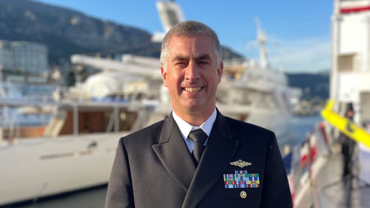
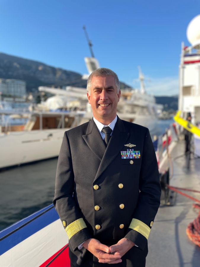
About Rear Admiral Evans
Rear Admiral Benjamin K. Evans was appointed director of NOAA’s Office of Coast Survey in December 2021. He is responsible for overseeing the mapping and charting of all US coastal waters, as well as representing the US in international hydrographic activities. RDML Evans’ career includes nearly ten years of sea duty, including command of NOAA Ships Rainier and Ferdinand R. Hassler. Immediately prior to his appointment as director of Coast Survey, RDML Evans served as acting chief of staff of the NOAA National Ocean Service. RDML Evans’ past experience also includes assignments as chief of the Coast Surveys’ Pacific Hydrographic Branch and Data Acquisition and Control Branch, and service on the staff of the NOAA Administrator. RDML Evans is a native of New York State, where he grew up sailing on Lake Ontario. His academic background is in physics and ocean engineering, with graduate research focused on acoustics and navigation systems for autonomous underwater vehicles.

Value staying current with hydrography?
Stay on the map with our expertly curated newsletters.
We provide educational insights, industry updates, and inspiring stories from the world of hydrography to help you learn, grow, and navigate your field with confidence. Don't miss out - subscribe today and ensure you're always informed, educated, and inspired by the latest in hydrographic technology and research.
Choose your newsletter(s)


