The evolving role of hydrographic surveyors in the digital age
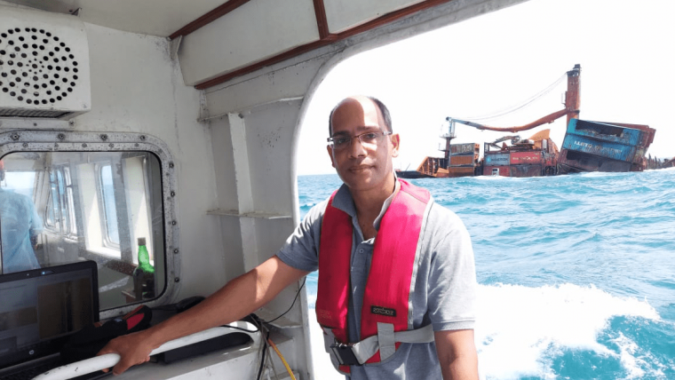
Five questions to Dr M.D.E.K. Gunathilaka (FIG Commission 4)
In this interview, Dr Gunathilaka, chair of FIG Commission 4 (2023–2026), discusses challenges and opportunities in the hydrographic industry. He emphasizes the need to attract and motivate young talent, reskill displaced workers and adopt new technologies such as autonomous systems, multi-sensors and AI-based algorithms. While he believes hydrographic surveyors won’t be replaced by AI, their roles will shift towards remote operations and supervision. Dr Gunathilaka emphasizes the importance of technology investment, such as revising curricula, using portable systems for field operations and training students with relevant skills.
What do you see as the biggest challenges for the hydrographic industry as a whole in the coming years?
Ocean-related industries are expected to grow substantially in the coming years and more people need to enter this field. Attracting and motivating the younger generation to join the profession is one of the challenges that we face, as many think it is hard work in a high-risk environment. Meanwhile, some drastic technological changes have taken place over the past decade or so, and the adoption of such technologies could lead to the creation of entirely new roles, making it necessary to integrate and reskill the displaced workers in the industry. However, the high cost of this could cause problems for some. Investment will probably drop slightly in the coming years, due to the global economic recession after the COVID-19 pandemic. We are already experiencing this in the construction sector, especially in developing countries.
Looking at hydrography, which technological developments do you expect to be the main drivers in the coming years?
Most of our sea area will be surveyed systematically, and some international initiatives are taking place in that direction, such as Seabed 2030 and the UN Ocean Decade. Over the past century, we have only managed to map a small portion of the ocean. There is therefore a massive area still to be mapped. For this, we have to use autonomous techniques to increase productivity, and multi-sensors to collect the bathymetry and the other ocean-related data simultaneously, to achieve cost-effective, more productive field operations. Extensive data processing will be mostly handled by real-time AI-based algorithms and in 3D reality/reconstruction.
Debate statement: “In ten years’ time, hydrographic surveyors will have been replaced by robotization and AI.” Do you: strongly agree, somewhat agree, neither agree nor disagree, somewhat disagree or strongly disagree? Please elucidate.
I somewhat agree with this statement, although the role and tasks of surveyors will be reshaped or revolutionized rather than replaced. Instead of outdoors, we can expect more remote operations in operations rooms in an office or on a mother vessel. More autonomous systems such as AUVs and USVs will be used, and more AI will be used in data processing. However, the vital decisions will still be taken by hydrographers, in the planning stage, in data processing and in the final QA/QC. The conventional role of field data collection will shift to a more supervisory position. Ultimately, the surveyors’ role will be more managerial, which will increase productivity. Conventional subjects may become obsolete due to simple portable equipment and software applications that do not require much theoretical knowledge, so future surveyors will require more ICT skills and an ability to operate and troubleshoot such systems. This transition will be more advanced in developed countries.
Which types of survey projects are paramount for your organization in the coming years?
My main involvement is in geomatics education. However, based on my involvement in the industry and various professional associations, I see two main types of projects. First, there will be more investment in the renewable energy sector, such as floating solar PV, near and offshore wind farms and tidal energy. Under the Paris Convention, all countries have agreed to reduce CO2 emissions by 50% by 2030. Second, high-resolution bathymetric and oceanographic data are required for various coastal engineering and coastal resource management applications, as we look to the ocean for more resources. Our future survival will depend on the information we have on the ocean and how we utilize the ocean space.
How would you prioritize technology investments in your organization over the next couple of years?
Being an educator attached to a university, we aim to train competent graduates who can meet the needs of the industry as well as adapt to the future demands of the profession. As we know, the industry is rapidly adopting AI-based automated multi-sensory tools, and we therefore need to introduce our students to this. The universities must revise their curricula accordingly, and include theoretical concepts on AI and robotics as well as some practical aspects. We therefore need to prioritize our investments accordingly. Staff must be trained in these areas, and conventional bulky systems need to be replaced with more portable, compact units such as UAVs and USVs. The trend will be towards portable, shallow-water multibeam systems, as all coastal states are obliged to fulfil the latest IHO exclusive order for charting and global initiatives such as Seabed 2030.

Value staying current with hydrography?
Stay on the map with our expertly curated newsletters.
We provide educational insights, industry updates, and inspiring stories from the world of hydrography to help you learn, grow, and navigate your field with confidence. Don't miss out - subscribe today and ensure you're always informed, educated, and inspired by the latest in hydrographic technology and research.
Choose your newsletter(s)


