The future of hydrographic surveying: balancing automation and human expertise
Commander Gustavo Adolfo Gómez-Pimpollo Crespo, Spanish Navy Hydrographic Office (IHM)
The implementation of the new IHO hydrographic geospatial standard for marine data and information, the S-100 product family, presents significant challenges that require coordination between the IHO, the industry involved in the development of the future electronic display and information system ECDIS, and hydrographic services. In this Q&A, Commander Gustavo Adolfo Gómez-Pimpollo Crespo, a hydrographic engineer and technical secretary of the Spanish Navy Hydrographic Office (IHM), sheds light on the challenges posed by this new standard as well as the role of AI in hydrography and the relationship between robotization, AI and the role of hydrographic surveyors.
What do you see as the biggest challenges for the hydrographic industry as a whole in the coming years?
The hydrographic industry is in continuous evolution and has many, mainly technological, challenges ahead. The biggest challenge is the implementation of the S-100 product family (the new IHO hydrographic geospatial standard for marine data and information), as this requires coordination between the IHO, the industry involved in the development of the future electronic display and information system ECDIS (the new system that allows the visualization of ENCs in the new S-100 format) and hydrographic services.
Some national hydrographic services may require support from other agencies or ministerial departments for the development of products in the new format (e.g. ENC S-122 marine protected areas and ENC S-111 surface currents). IHM is already working to have the first ENCs in S-100 format ready for sale when the industry starts to use the new ECDIS. However, this also entails a digital transformation in the cartographic production line of hydrographic services (acquisition, data edition, quality control, storage, compilation, production and distribution), from the automation of workflows to big data management (volume, variety, velocity and veracity).
Looking at hydrography, which technological developments do you expect to be the main drivers in the coming years?
The main technological development in hydrography will be the use of AI in the cartographic production line (e.g. using AI to edit bathymetric data). Some companies have already developed AI algorithms to edit bathymetric data, but these algorithms represent the first steps, and much more advanced algorithms will be achieved for use in hydrography, oceanography and geodesy, both in machine learning and deep learning.
AI will allow the collection of large amounts of bathymetric data by many vessels sailing with multibeam echosounders around the world. All this information will be stored in clouds for processing and integration into company or hydrographic services, most of whom will share the information for the General Bathymetric Chart of the Oceans (GEBCO).
Improving the resolution of our ocean data is necessary to improve the prediction of storm surges, tsunami models and the efficient positioning of submarine cables, for example. Advances in the information derived from altimetric radars are therefore welcome.
Debate statement: “In ten years’ time, hydrographic surveyors will have been replaced by robotization and AI.” Do you: strongly agree, somewhat agree, neither agree nor disagree, somewhat disagree or strongly disagree? Please elucidate.
I am sure that robotization and AI will not replace hydrographic surveyors, as humans and machines are complementary. Robotization and AI will take jobs away from humans, but other jobs will be created for algorithm development, digital processing maintenance, control of uncrewed vessels, software maintenance and so on.
Take for example the CUBE algorithm invented by Brian Calder in 2003. The CUBE manual makes clear that the CUBE model is a bathymetric model that represents reality. The better the data acquired, the better the bathymetric model is. Also, once the bathymetric model is obtained with CUBE, hydrographer supervision is always required to confirm or modify the bathymetric model where necessary.
Therefore, while a survey may be conducted by robotization and AI, the hydrographer will always have to supervise and correct the survey to ensure the safety of navigation. The hydrographer is however becoming increasingly versatile.
Which types of survey projects are paramount for your organization in the coming years?
We are working on several projects at IHM. These include:
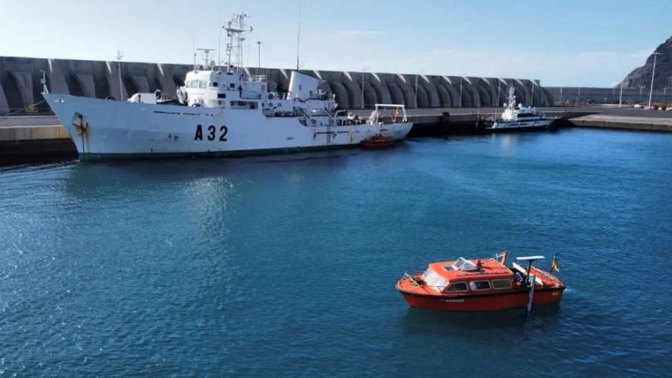
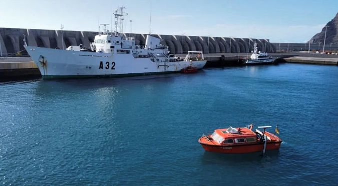
- The replacement of the current hydrographic fleet with a multidisciplinary oceanographic vessel (with the potential to develop hydrographic capabilities in any national or international scenario and capable of providing rapid environmental assistance (REA) and geospatial, meteorological and oceanographical (GEOMETOC) support), two coastal survey vessels and five hydrographic boats for work in shallow waters.
- The implementation of autonomous vessels. Following the acquisition of USVs and UAVs this year, training personnel in their use and efficient editing of the data obtained is a priority.
- The validation and publication of the hydrographic vertical reference surface to harmonize and relate for the first time the terrestrial vertical reference (EGM 08-REDNAP global geoid model) to the nautical chart datum.
- Following the automation of the first phase of the integrated automatic system to provide hydrographic, meteorological and oceanographic support to amphibious operations, the development of the project’s second phase, which is its application to countermine operations and surface operations and support for the use of autonomous vessels.
How would you prioritize technology investments in your organization over the next couple of years?
IHM has a plan of replacement needs until 2030 for the equipment in the cartographic production line, from hydrographic and oceanographic equipment to the acquisition of state-of-the-art equipment. This plan is reviewed annually and according to available annual resources; material acquisition is carried out according to the order of priority of the equipment to be replaced or desired new equipment.
Commander Gustavo Adolfo Gómez-Pimpollo Crespo, hydrographic engineer and technical secretary of the Spanish Navy Hydrographic Office (IHM). Crespo has worked in hydrography since 2004, onboard various survey vessels (RV Tofiño, RV Rigel, RV Antares and RV Malaspina) and at IHM. He is now leading planning and documentation to replace the IHM hydrographic fleet in the coming years, and is a member of many national and IHO working groups.

Value staying current with hydrography?
Stay on the map with our expertly curated newsletters.
We provide educational insights, industry updates, and inspiring stories from the world of hydrography to help you learn, grow, and navigate your field with confidence. Don't miss out - subscribe today and ensure you're always informed, educated, and inspired by the latest in hydrographic technology and research.
Choose your newsletter(s)


