The Role of the IHO in Antarctica
The waters of the Antarctic region represent a significant area of the world where hydrographic knowledge is very limited. For much of the Antarctic coast no data is available - and hence no helpful charts. For the remaining areas, there may be charts, but they are often based on very limited amounts of data and of poor quality. According to the IHO’s figures in its publication C-55 - Status of Hydrographic surveying Charting Worldwide, about 99% of the waters of the Antarctic coast of less than 200 metres deep have not been surveyed at all. For the Antarctic Peninsula the situation is slightly better; only 60% of the coast is unsurveyed, but most of the remainder requires resurveying on a larger and more appropriate scale.
The Hydrographic Commission on Antarctica (HCA) is the IHO body that brings together the various organisations concerned with maritime activities in Antarctica. The principal aim of the HCA is to assess hydrography and charting in the region and to foster co-operation so as to improve the situation. The HCA currently comprises 23 IHO members States together with various important organisations participating as Observers, including the Council of Managers of National Antarctic Programmes (COMNAP), the International Association of Antarctic Tour Operators (IAATO) and the Scientific Committee on Antarctic Research (SCAR). The HCA meets annually.
The HCA’s Hydrographic Survey Prioritizing Working Group works particularly closely with the Observer organisations to maintain a long-term survey plan and a survey priorities short list that reflects all outstanding survey and charting requirements.
High Costs
The principal limitation in progressing chart and ENC production is the availability of good quality hydrographic survey data. In general, hydrographic operations are expensive; in Antarctica this is especially true. This fact and the priority given by IHO Member States to survey their own national waters are significant limiting factors.
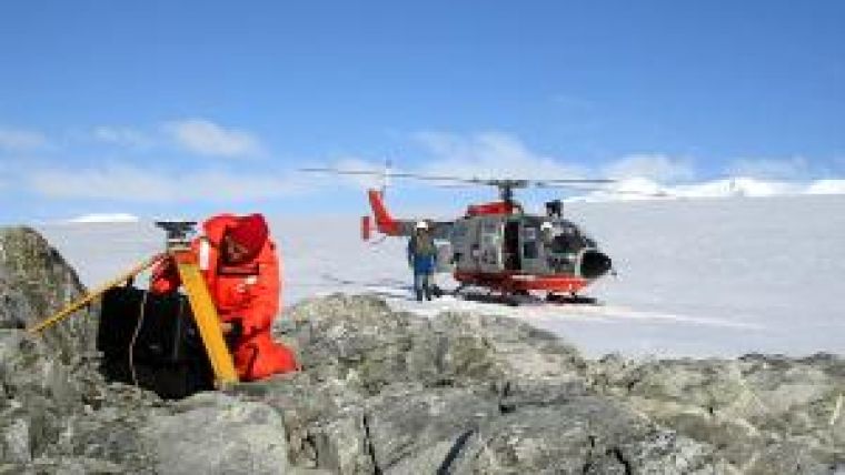
In order to obtain more hydrographic data, a number of HCA Member States that produce charts of Antarctica have established closer links and arrangements with national and international scientific institutions to obtain any bathymetric information that they hold. In the commercial sector, IAATO has provided bathymetric data collected by ships operated by its members and the HCA is encouraging and assisting IAATO members to continue this practice, by providing technical advice. The hydrographic offices of some States have even provided data gathering equipment to be fitted to cruise ships operating in the region.
Raising Awareness
The HCA is about to begin a hydrographic risk assessment study over the next two years. This study and its recommendations will be used to further improve the HCA survey and charting programme. When completed, the assessment will also be submitted to the Antarctic Treaty Consultative Meeting (ATCM) to further raise awareness of the charting risks and requirements in Antarctica and hopefully to gain additional resources, particularly through government and other international funding. The ATCM is the primary forum for the representatives of Parties to the Antarctic Treaty to exchange information and formulate measures, decisions and resolutions to further the principles and objectives of the Antarctic Treaty, which is the principal mechanism under which activities in the Antarctic are governed at the international level.

Value staying current with hydrography?
Stay on the map with our expertly curated newsletters.
We provide educational insights, industry updates, and inspiring stories from the world of hydrography to help you learn, grow, and navigate your field with confidence. Don't miss out - subscribe today and ensure you're always informed, educated, and inspired by the latest in hydrographic technology and research.
Choose your newsletter(s)


