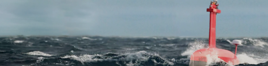
Deploying Uncrewed Vessels in the Search for Lost Shipwrecks
In the summers of 2021 and 2022, an iXblue DriX USV was deployed to try and locate the missing wreck...
iXblue is a global leader in the design and manufacturing of innovative solutions devoted to navigation, positioning and underwater imaging, as well as shipbuilding. Using its unique in-house technology, the company offers turnkey solutions to its Civil and Defence customers to carry out their sea, land and space operations with optimum efficiency and reliability.
iXblue is recognised throughout the industry for its pioneering work on the development of fibre optic gyroscope (FOG) technology which has revolutionised inertial navigation systems in the last decade, providing unequalled performance and cost of ownership benefits.
Employing a workforce of 600 people worldwide, iXblue has a global footprint and conducts its business with over 35 countries.
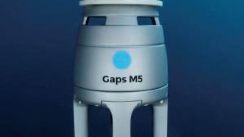
iXblue’s webinar: Gaps M5 - new cost-effective & export free USBL system
Gaps M5 is a new compact, export-free, cost-effective and omnidirectional USBL system designed by iXblue. Smaller and lighter, the Gaps M5 is easy to install and ready-to-use. It offers unrivaled vertical and horizontal tracking of subsea assets for ultra-shallow water to medium water depths
Check the video of the dedicated webinar on April 9th here.
iXblue’s webinar: Delph Subsea Positioning Software
Delph Subsea Positioning is iXblue’s intuitive and dynamic software which simplifies the planning, simulation, operation and post-processing of subsea positioning tasks. Intuitive and user-friendly, each module of the DSP software suite has been designed to make each step of the subsea positioning operation simpler, error-free and faster, saving vessel and man time. With Canopus transponder, Ramses transceiver and this new integrated software suite, iXblue’s subsea positioning and navigation offer is truly enhanced, providing substantial efficiency and reliability to customers.
Atlans Series, new cost-effective FOG based INS for georeferencing applications
The Atlans Series is a scalable range of North seeking and North keeping Inertial Navigation Systems. Providing FOG performance to the full spectrum of land & air georeferencing applications, they offer highly accurate positioning (up to 0.01m) in all conditions, including within GNSS-denied environments. Quick and simple to install on all platforms, the new Atlans Series offers a complete range of scalable INS that each meet the specific requirements of every land and air applications and enables efficient “set-and-forget” operations.
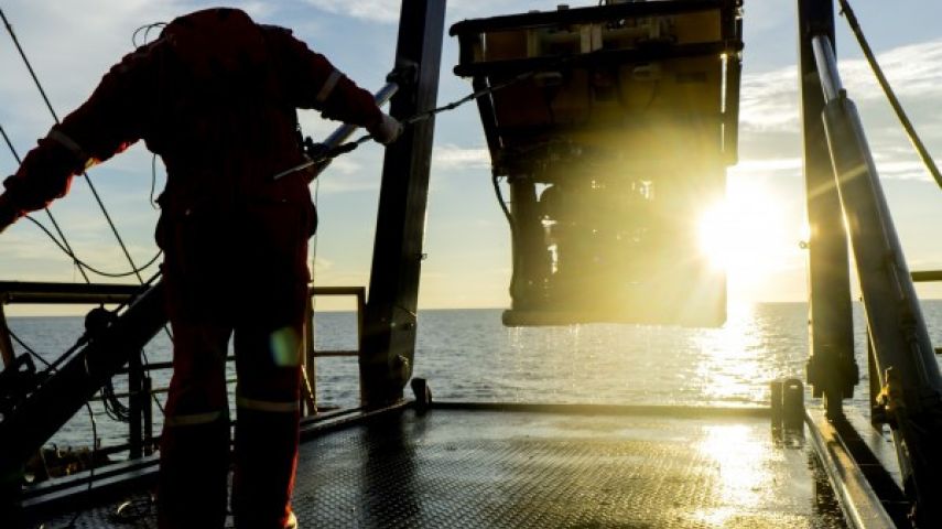
DriX, track-record of the efficiency multiplier USV
Since its launch back in 2017, iXblue’s DriX Unmanned Surface Vessel (USV), has proven to be a real game changer and has gathered the interest of major actors operating in the Offshore and Geosciences industries. Many of them have chosen DriX to bring agile, disruptive and innovative operations to their industries, including NOAA, Total E&P, Sulmara Subsea, Drebbel and Unique Group. Join iXblue’s dedicated webinar to learn how DriX and its unique Deployment System have brought agility and efficiency to their operations.
SeapiX-C, 3D solid-state volume sonar for high-precision marine works
iXblue recently unveiled its new SeapiX-C solid-state 3D multibeam sonar dedicated to high-precision marine works. Providing increased efficiency and safety, this new sonar offers real-time georeferenced static bathymetry capabilities to marine works operators for instant monitoring and decision-making.
Bringing highly accurate and robust static bathymetry, SeapiX-C is a valuable solid-state seabed-mapping solution that brings about more efficient and flexible operations, as well as increased safety to marine works, and which is perfectly suited for challenging jack-up barges deployments, dredging and monitoring operations.
Check all iXblue webinars here at iXlive.

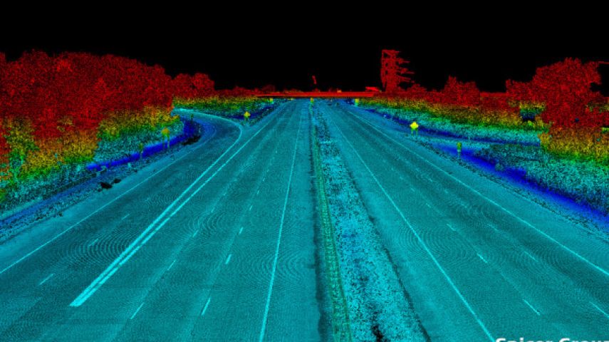

In the summers of 2021 and 2022, an iXblue DriX USV was deployed to try and locate the missing wreck...

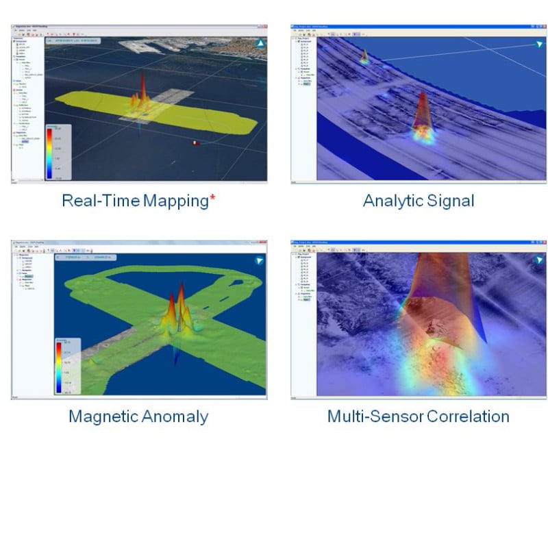
In collaboration with four French, Belgian and German geoscience laboratories, iXblue’s sonar...

Hydrography as we know it is brutally changing. The current pandemic made it very difficult to simpl...

With the advances taking place in newly developed autonomous platforms, hydrography is accelerating...

10-minute product presentation followed by a Q&A session. We recently unveiled our new SeapiX-C...
With over 10,000 hours in operations around the world, iXblue DriX USV, along with its efficient launch and recovery system, is a seasoned asset in the environm...

Gaps M7 is a high performance Ultra Short Baseline positioning and communication system for locating and communicating subsea assets. It combines an USBL antenn...
iXblue provides a wide range of low frequency (LF) transponders to operate with Ramses 6000 (LF) and Posidonia. The standard product range includes transponder...
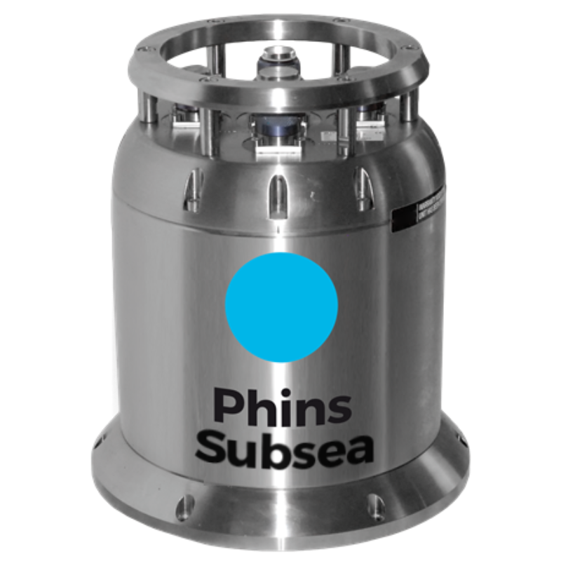
Phins Subsea is a high-performance INS for deep subsea operations Phins Subsea is an inertial navigation system providing position, true heading, altitude, spee...
Delph Suite (including Delph Seismic and Delph Sonar) is a complete and modular software solution with a dedicated acquisition, processing and interpretation co...
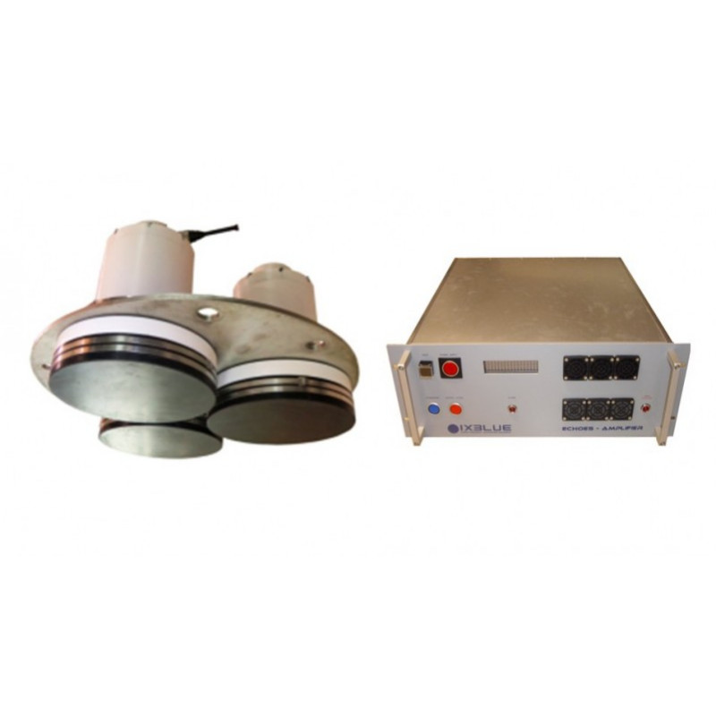
Echoes 3500 sub-bottom profilers family is the reference full ocean depth solution for oceanographic and hydrographic vessels. Based on highly reliable powerful...
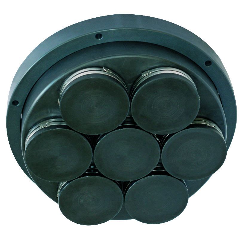
Echoes 10,000 is an ultra-high-resolution sub-bottom profiler (SBP) designed for shallow water environments. It incorporates iXblue flat spectrum Tonpilz cerami...
This site uses cookies. By continuing to use this website, you agree to our Cookies Policy. Agree