Search for talent is hydrographic industry’s biggest challenge
Dave Neff is the hydrographer and geospatial programme director at Woolpert. In this interview, he d...
Woolpert sports an innovative and agile team of certified hydrographers, professional land surveyors and GIS professionals. This industry-leading crew develops and integrates topographic, bathymetric and hydrographic technologies to provide clients and the industry with the data, analyses and modeling needed to successfully advance critical projects and initiatives.
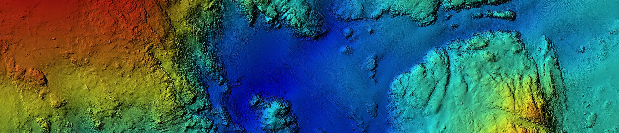
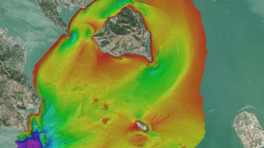
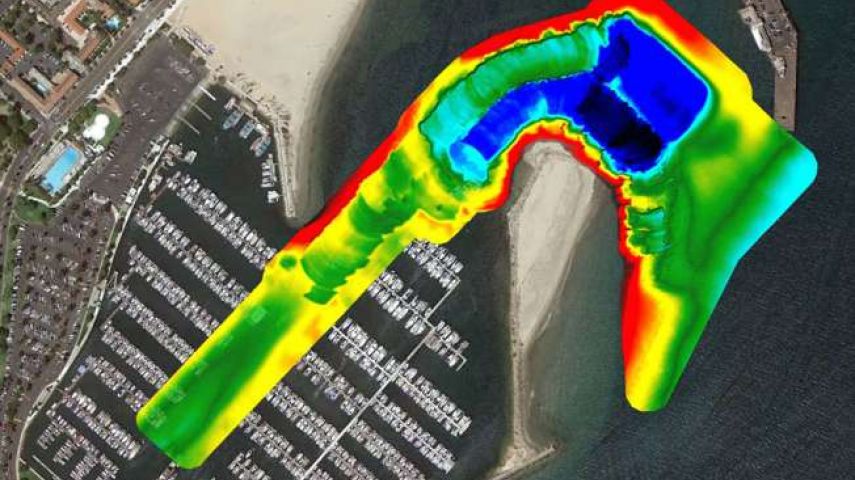
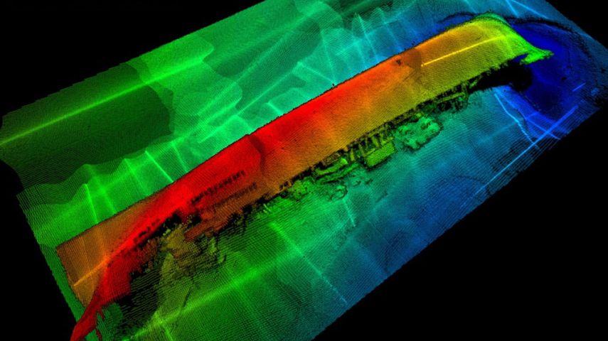
Woolpert’s full-service geospatial capabilities complement its expansive maritime services, which include elevation-derived hydrography, dredging and marine construction support, seafloor mapping, emergency response, reservoir capacity survey, tidal and river current survey, tidal gauge analyses, cable and pipeline alignment, geodetic and geophysical survey, environmental mapping and remediation, marine GIS, object detection and more.
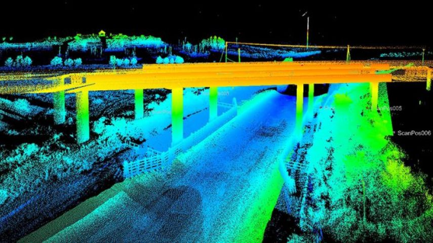
By owning and operating fleets of survey vessels and manned and unmanned aircraft, which are customized to carry latest-generation sensors and equipment, Woolpert enables immediate and proficient mobilization. This responsive structure and leadership support the expert collection of high-accuracy topographic and bathymetric lidar data, multibeam and side-scan sonar data, and high-resolution imagery, which are required by public, private and governmental agencies around the world.

Dave Neff is the hydrographer and geospatial programme director at Woolpert. In this interview, he d...

Woolpert has been awarded a task order under the National Oceanic and Atmospheric Administration&rsq...
This site uses cookies. By continuing to use this website, you agree to our Cookies Policy. Agree