Airborne Lasers Assess Flood Risks
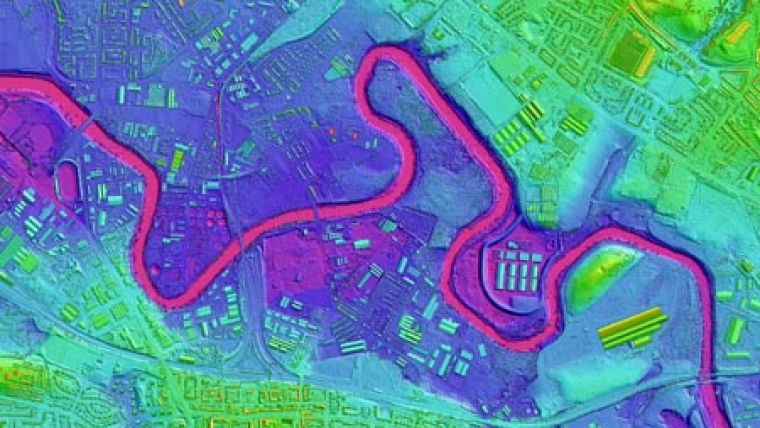
Highly accurate 3D digital maps, captured from aircraft-mounted lasers, are being used to assess the risk of flooding at critical utility sites across the UK. The project, undertaken by Ambiental on behalf of one of the UK's largest water companies, used LiDAR (Light Detection and Ranging) data supplied by aerial survey specialist Bluesky to help examine the likelihood, extent and depth of potential flooding as part of a review of flood defence measures at each of the five sites.
The Bluesky data is part of 3D terrain map, available online, that covers most of England and Wales including all major urban centres, coastal areas and flood plains.
Ambiental, a specialist environmental risk mapping and modelling consultancy, used a combination of existing datasets, models and gauged data in combination with their proprietary modelling and mapping techniques to assess and quantify each flood source in turn. Potential sources of flooding considered during the analysis included fluvial (river), tidal, surface water, sewer and groundwater. The high-resolution LiDAR data, supplied by Bluesky, was used to map each risk in 3D to ascertain the spatial distribution of different flood depths. The results of these assessments were used for business planning purposes, specifically within cost-benefit analysis for flood defence measures at each site.


