AUV Work for Norwegian Floating Bridge Project Completed
Imaging and geo-engineering specialist Argeo entered into an agreement for AUV work for Statens Vegvesen (Norwegian Public Roads Administration) on the Bjørnafjorden E36 crossing. The project, valued at 8.5 million NOK, has now been completed.
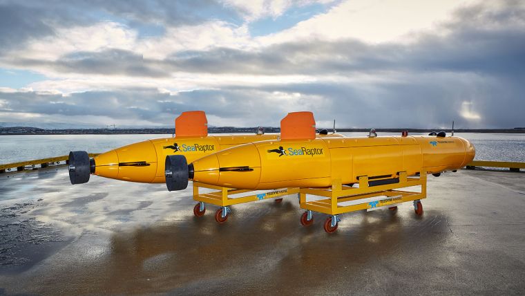
The Bjørnafjorden crossing is among the world’s longest floating bridge projects and Argeo contributed one of its deepwater SeaRaptor 6000 AUVs for data acquisition in combination with the company’s proven data processing and modelling software to deliver actionable results for this exceptional project.
“We are pleased to announce that the SeaRaptor’s first commercial acquisition project has been completed and that it was a success,” said Trond Crantz, CEO of Argeo. “The team completed the project for Statens Vegvesen on time along with the data scoped for the project,” Crantz continued.
Deepwater AUVs for Seabed Mapping
The Bjørnafjorden crossing is in a challenging area, also in terms of geology, and requires deepwater AUVs for seabed mapping, further exemplifying the need for AUVs in the engineering and construction market segments. Argeo is also contributing to improved infrastructure connectivity for the E39 Hordfast project.
Statens Vegvesen has confirmed to Argeo that data acquisition on anchor locations has been completed, that the data they received was of a very high quality, and that operations were executed efficiently and safely without any HSE incident.
Going forward, Argeo will start its planned multiclient programme for Utsira Nord Offshore Wind, recently approved by the Norwegian authorities. For this project, Argeo will use its advanced AUVs equipped with all the necessary sensors to acquire high-quality data over the licences planned for offshore wind construction.


