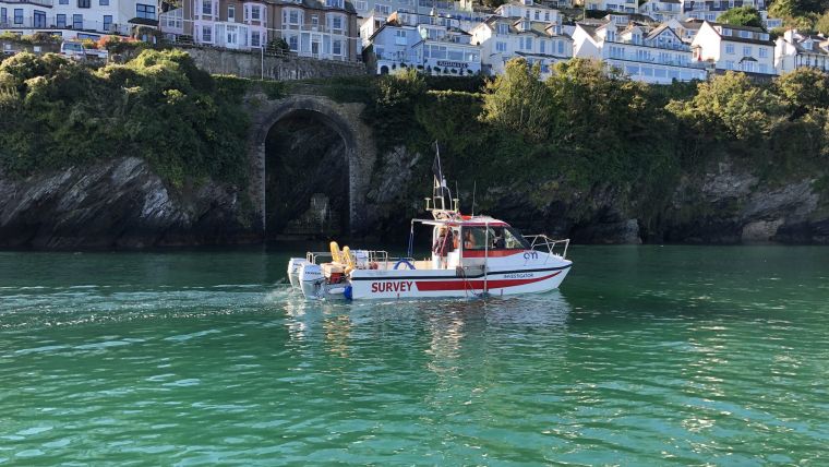
Challenging Marine Geophysical Survey in Looe Bay
LandScope Engineering’s multipurpose survey vessel Investigator has recently completed a marine geophysical survey in Looe Bay, Cornwall, UK, in support of breakwater and pier development works.
High-resolution UAV photogrammetric data acquired at low tide has been augmented with multibeam bathymetry over the site to provide a detailed digital terrain model. Seabed classification was achieved through sediment sampling, sidescan sonar and backscatter multibeam.
The key design criteria of bedrock depth was addressed through low frequency acoustic sub-bottom profiling. The data is to be reconciled with onshore drilling investigation works.
UXO Magnetometry and Shallow Water
The extremely shallow water presented a technical challenge for UXO magnetometry – in ensuring adequate sensor vessel separation during tow. LandScope overcame this problem with the deployment of a purpose-built tail-buoy tow system, allowing the magnetometer array to maintain an adequate tow offset whilst mitigating tow damage risk.
Shallow water environments inevitably present challenges for marine geophysical surveys, and none more so than the rocky shoreline of Looe. Investigator, with its competent crew and high-end survey sensor approach, proved to serve such projects admirably.


