Coastal Mapping Programme Benefits Taxpayers
For every dollar American taxpayers spend on NOAA’s National Geodetic Survey (NGS) Coastal Mapping Programme, the benefits they receive in return are worth more than USD35, according to a recent independent socio-economic scoping study. The programme provides critical baseline data for accurately mapping America’s official shoreline, which is important for national security, maritime shipping and navigation, and provides geographical reference data needed to manage, develop, conserve and protect coastal resources.
The study demonstrates the programme’s contributions in marine safety, geographic information, resource management, and emergency response and the wide range of economic and societal activities it supports.
David Kennedy, assistant NOAA administrator for the National Ocean Service sees this as a great investment for taxpayers. “The coastal mapping programme FY11 budget of USD6.8 million brought about USD241 million annually in both direct and secondary economic benefits, as well as non-economic benefits such as those related to safety and the environment.”
Conducted by Leveson Consulting of Jackson, N.J., the study analysed the benefits to the nation of NOAA’s Coastal Mapping Programme, which enhances coastal economies by providing accurate and consistent shoreline data.
Direct economic benefits of the program alone were estimated at USD100 million or 15 times programme costs. The study estimated that NGS’s Coastal Mapping Programme further supports 1,500 jobs outside of the programme. In addition to the economic data, the study also provides information on the programme’s customers and their uses of mapping data.
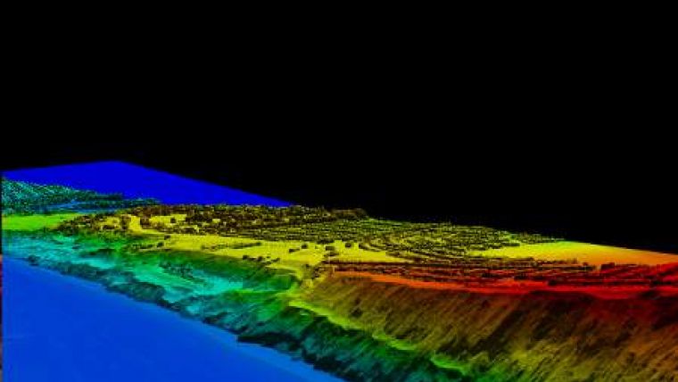
NOAA derives the shoreline data through various remote sensing technologies including aerial imagery, satellite imagery, Light Detection and Ranging (Lidar), and Synthetic Aperture RADAR (SAR).


