Crocodile Challenges for Fathoms
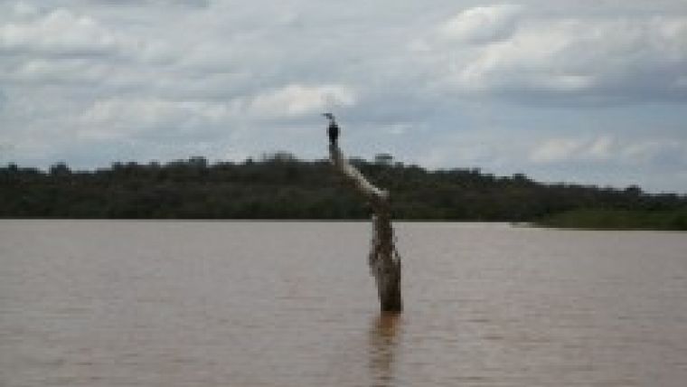
UK survey company Fathoms, based in Somerset and Caithness, has successfully completed four interesting and challenging bathymetric surveys in Kenya for the implementation of the Natural Resource Management (NRM) Project. Due to the local populations of hippopotami and crocodiles, challenges included ensuring that the surveys did not have an environmental impact.
Following this undertaking, Fathoms has successfully completed further surveys in Africa. In particular, Fathoms was contracted to undertake a tidal survey audit of a number of locations in and around Freetown, Sierra Leone. This was as part of the development of Sierra Leone’s expanding mining industry where the ore will be transported from the mines (located 100km inland) to Freetown by barge. The survey sites ranged from Freetown to close to the mines and resulted in Fathoms providing a comprehensive geodetic and tidal report for the London Mining Company to use.
The bathymetric project centred on four reservoirs in Kenya’s Upper Tana Catchment Area in the Eastern Province, the Masinga, Kamburu, Sasumua and Ndakaini dams. Masinga and Kamburu deliver hydro-electric power to the Kenya Power Company mostly for Nairobi and Sasumua and Ndakaini supply drinking water to the Nairobi Water Company. The size of the surveys undertaken were considerable with the largest reservoir being some 35kms long. Fathoms completed on time within a six week timescale.
A crucial part of the surveys was the determination of the remaining water capacity of the four reservoirs. This would provide an indication of the siltation rates since the construction of each reservoir.
With all previous surveys being either unavailable or unsuitable for direct comparison, Fathoms designed the surveys from scratch. All comparison data were based upon the Kenya 1960 New Arc Datum (the first aerial survey by Huntings in 1965 provided the baseline Topography). Following recommendation and acceptance, Fathoms adopted a single beam echo sounder system for all bathymetric surveys it carried out.
Several exceptional factors were taken into account to ensure a safe and successful survey. The two hydro reservoirs were remote and high with little chance of assistance should any problems have arisen; survey vessels were required and the presence of usually unfriendly wildlife would be a real hazard. In particular, there were known to be hippopotami and crocodiles in Kamburu and Masinga so Fathoms had to ensure that environmental impact was minimal.
Fathoms employed a GRP craft for use on the larger Masinga and Kamburu reservoirs and a smaller boat was used for the survey of the two smaller reservoirs. The echo sounder was mounted on an over-the-side mount with the GPS antenna mounted on the same pole to avoid inaccuracies.
Positioning throughout was achieved with a C-Nav2050M GPS receiver supplied by Hiretec, one of C-Nav UK’s specialist equipment rental firms. Real-time C-Nav RTG satellite broadcasts were received through the unit’s integrated L-band antenna and provided a horizontal accuracy better than 30cm. The C-NAV 2050M proved ideal for the surveys in both Kenya and Sierra Leone as it is particularly suited for data acquisition in remote areas. The C-Nav WGS84 positions were transformed to Kenya 1960 New Arc datum in the survey vessel’s on-line package.
The final results from all 4 surveys carried out in Kenya have provided the NRM Project with a baseline survey for future studies and established the levels of additional siltation in each reservoir enabling the volume of each reservoir to be established. Volume calculations and contour charts were delivered for each reservoir as well.


